


Special Projects (23)
Project Status: Active
Web update: May 5, 2022
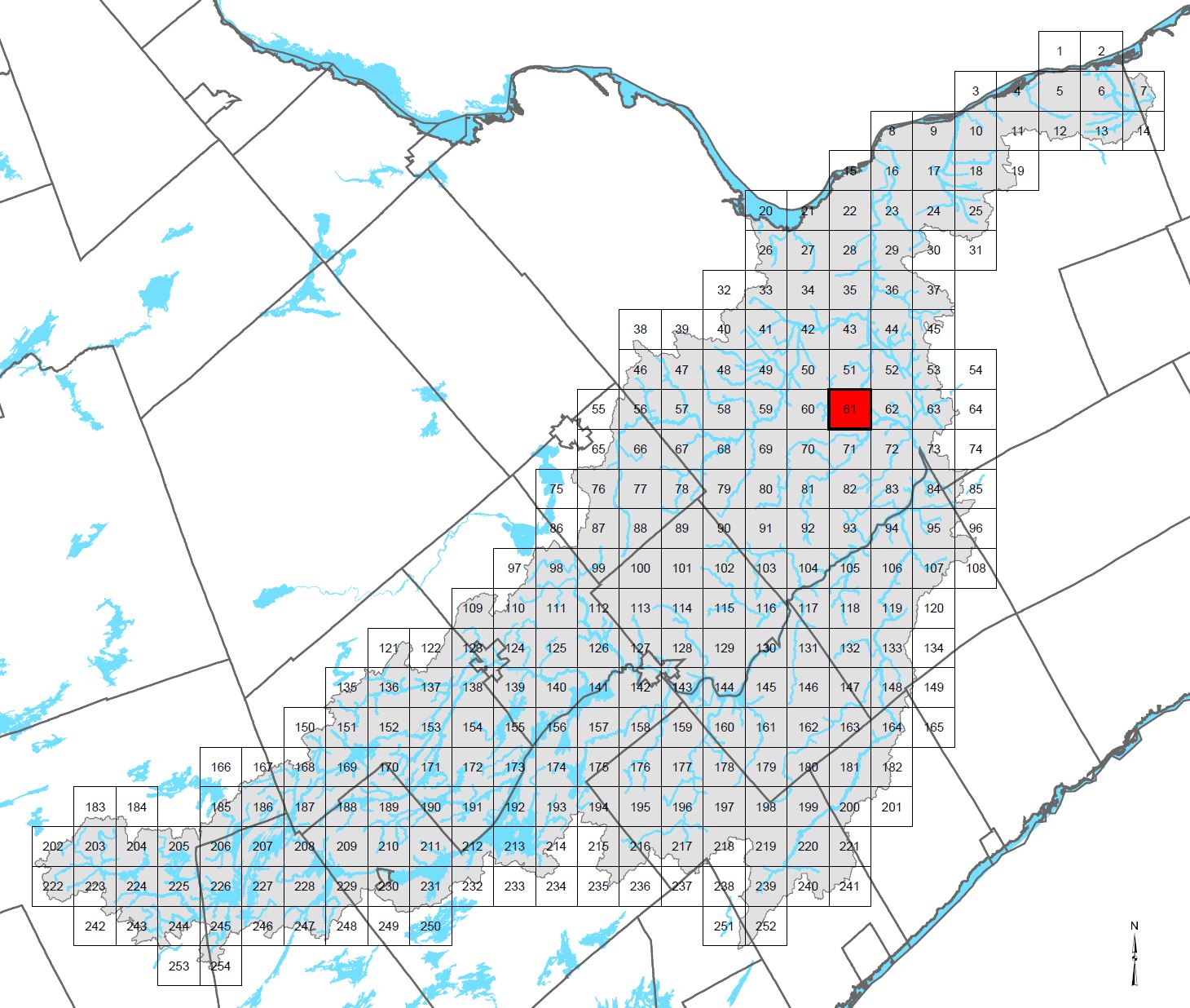
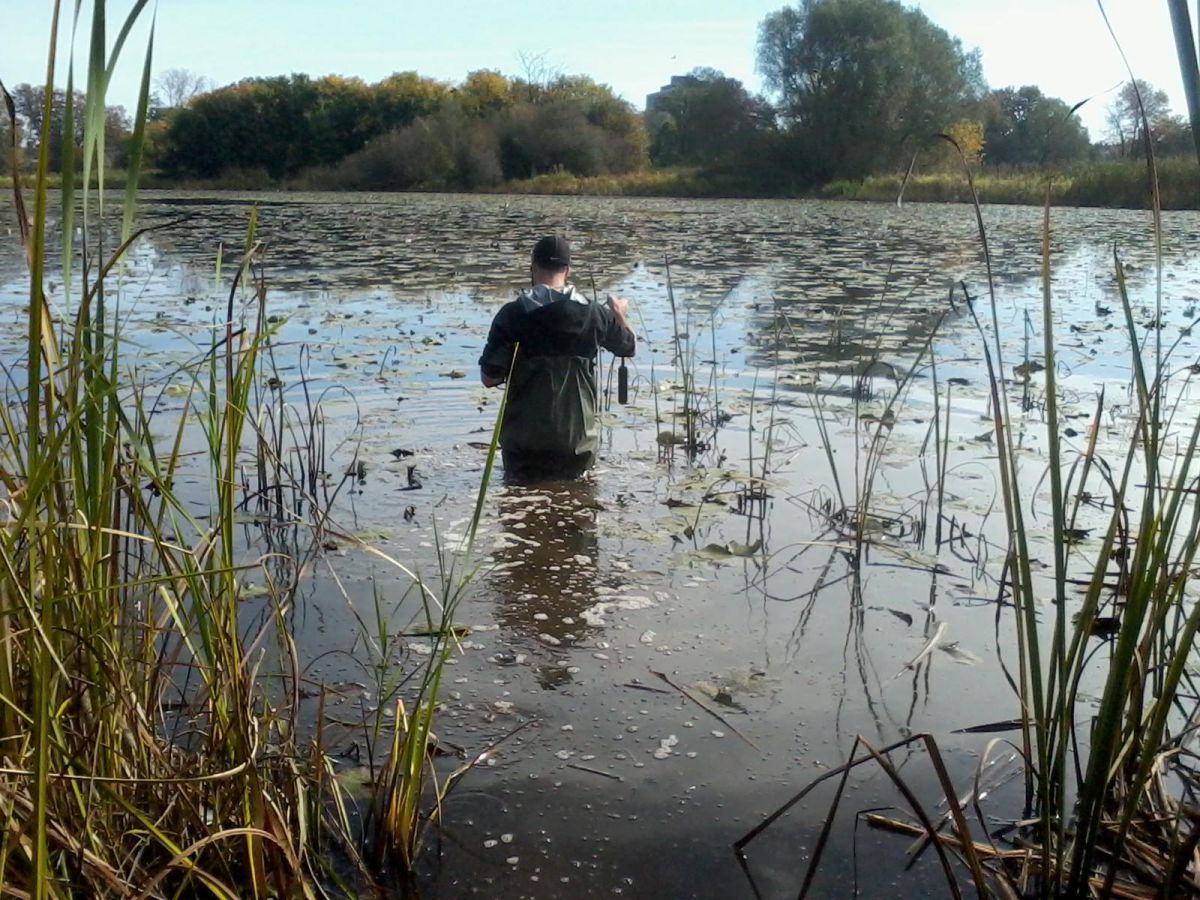
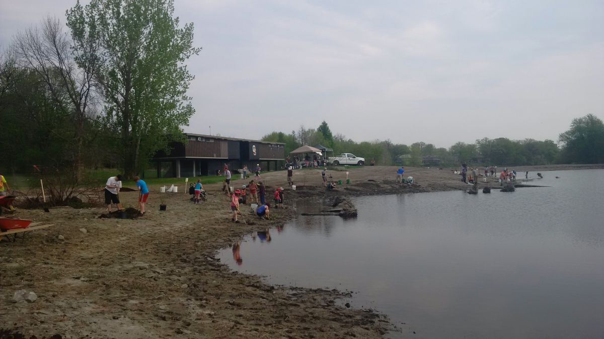
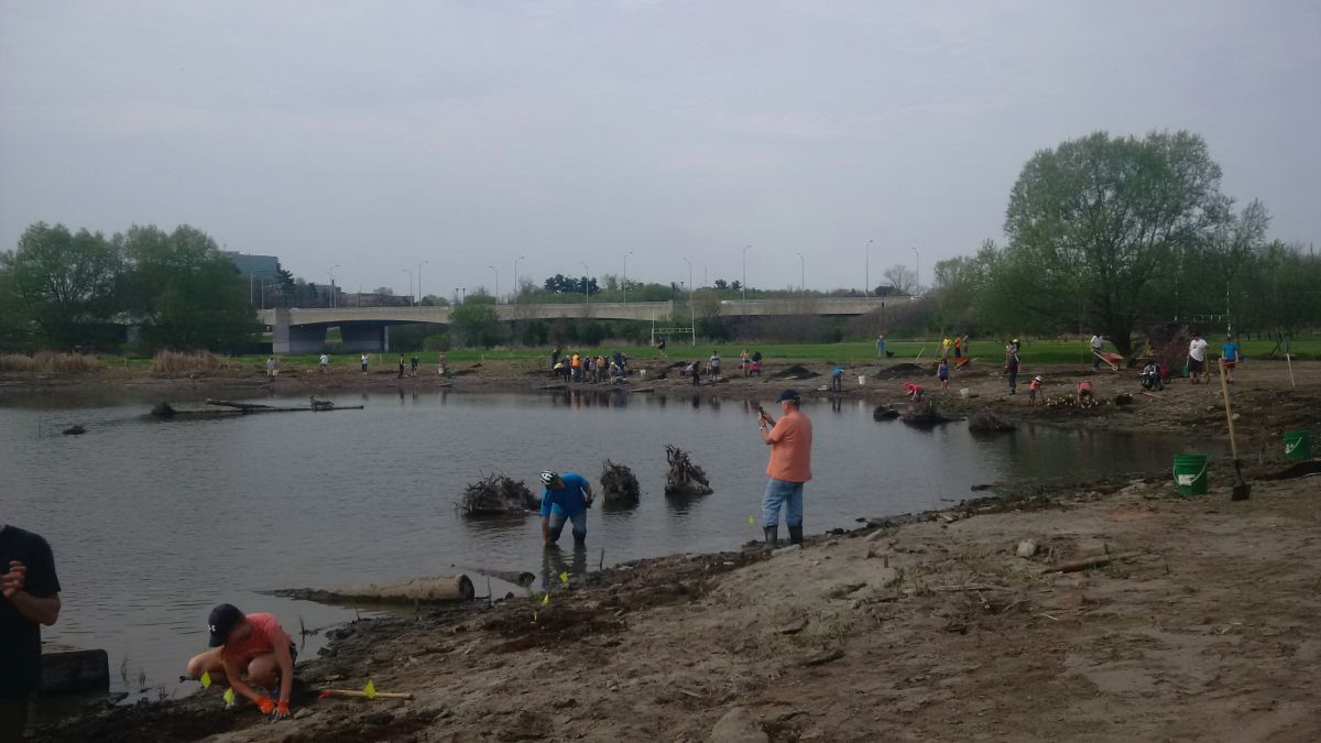
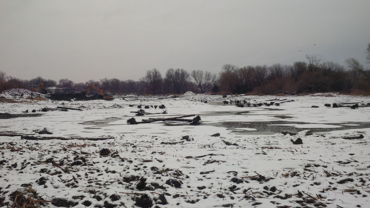
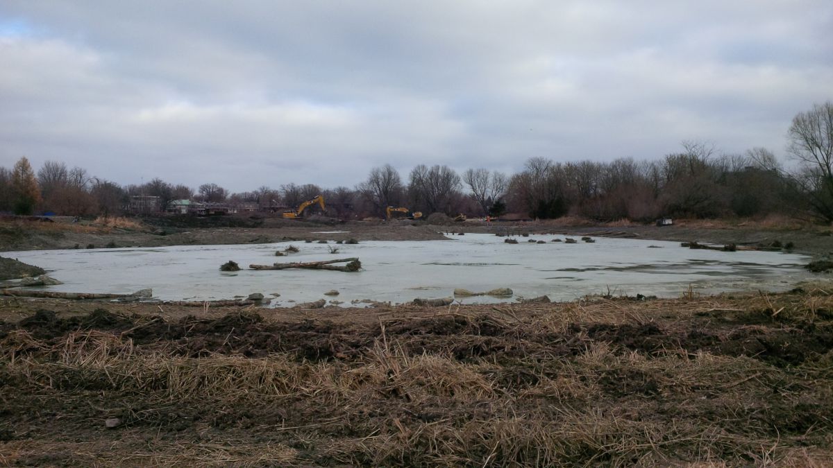
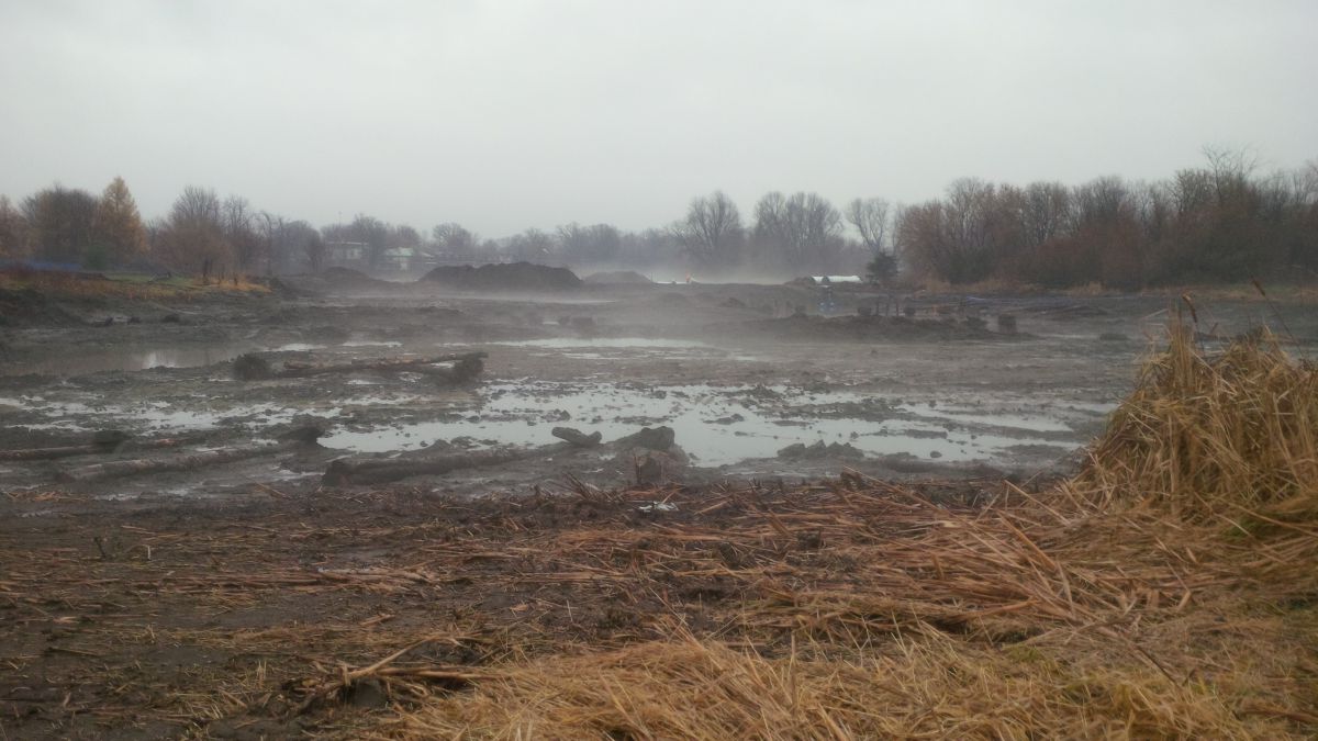
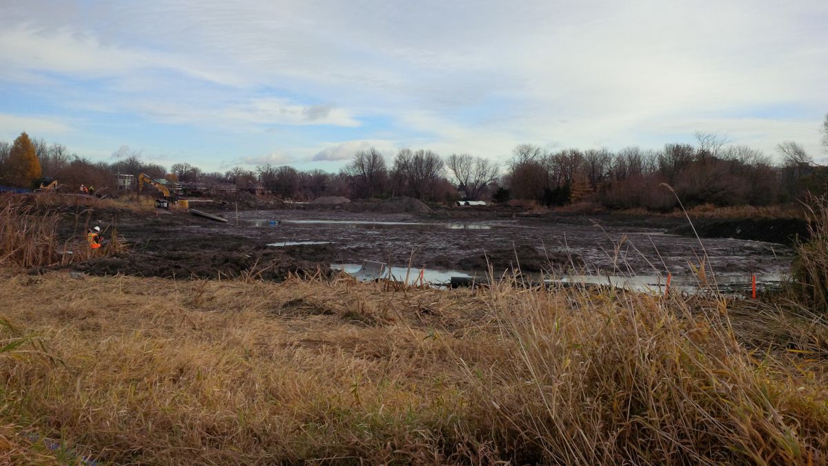
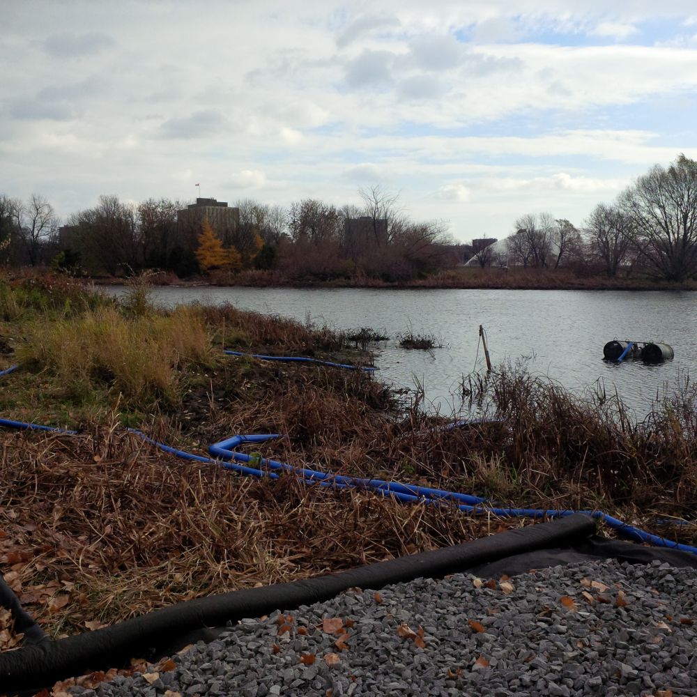
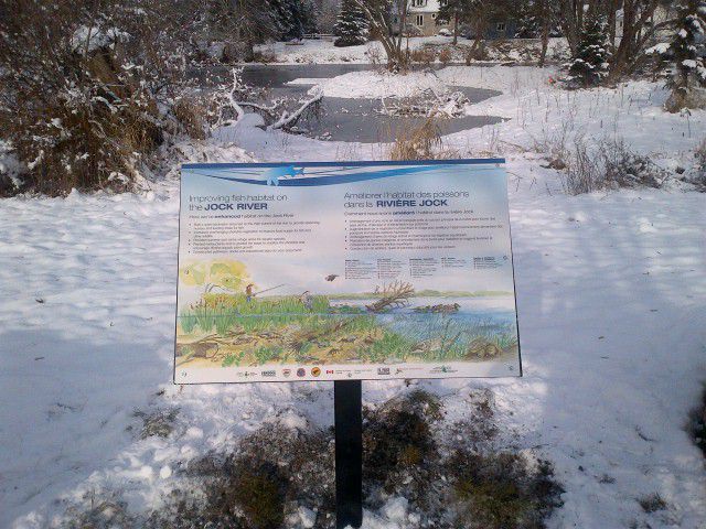
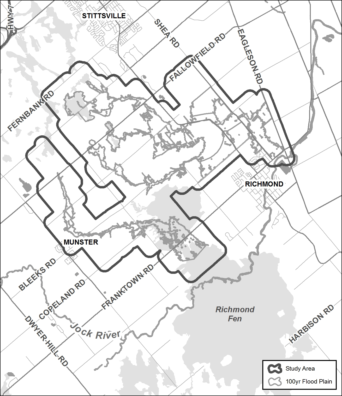
The Rideau Valley Conservation Authority (RVCA) has completed a hazard mapping study for Stevens Creek from Malakoff Road to the Rideau River in the City of Ottawa.
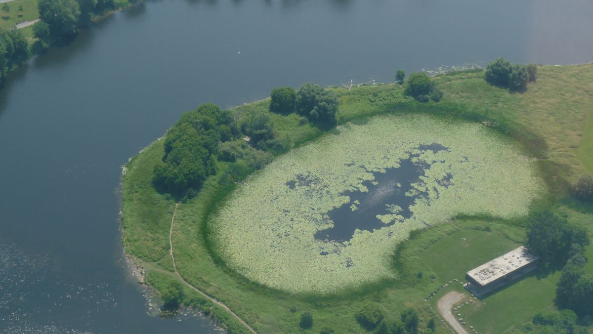
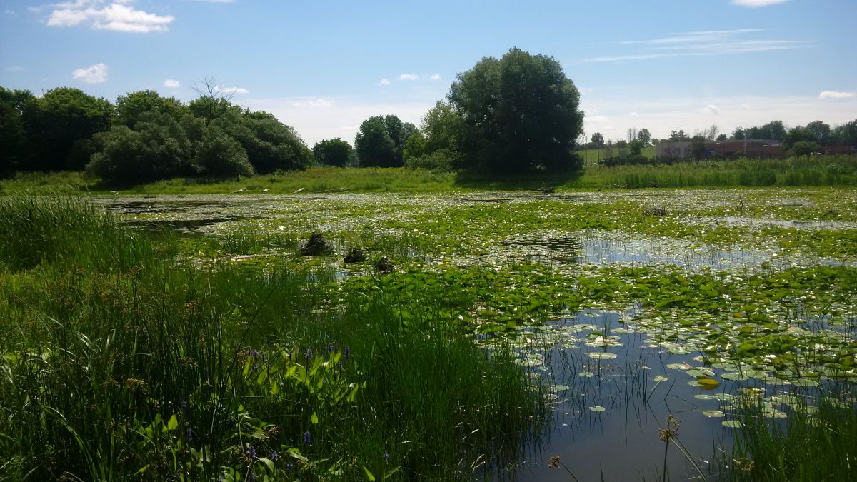
These maps have been traditionally known as “floodplain mapping” or “regulation mapping” and they show areas that are prone to natural hazards such as flooding, erosion and natural environment features such as wetlands.
When completed, the mapping will be used by the City of Ottawa when updating their Official Plan and Zoning Schedules and in the review of development applications under the Planning Act. RVCA will also use the mapping to guide the review of development applications submitted under the Development, Interference with Wetlands and Alterations to Shorelines and Watercourses Regulation.
Public consultation on the draft hazard mapping study for Stevens Creek from Malakoff Road to the Rideau River will continue until April 29, 2022. Virtual public consultation began late November 2021. Affected landowners were notified by mail and staff have been responding to inquiries by telephone calls, e-mail, virtual meetings, small group in-person meetings and site visits. In some cases the draft mapping has been refined based on site-specific information.
With the recent easing of provincial COVID-19 restrictions, the RVCA is now able to host an in-person presentation and question and answer session to provide an additional opportunity for public consultation.
Thursday, April 21, 2022
Alfred Taylor Recreation Centre
2300 Community Way, North Gower
Doors Open at 6:00 p.m.
Presentation begins at 6:15 p.m.
Question & Answer Period to follow
Anyone unable to attend can contact an RVCA Resource at 613-692-3571, toll-free at 1-800-267-3504 or by email at .
This study is just one of several ongoing hazard mapping studies taking place in the watershed. For a complete list on ongoing work, click here.
Draft Maps
Draft Maps - Updated: April 2022
OPTION 1: Interactive Map - Click here to view the interactive map full screen
The interactive map allows you to zoom in to a specific property and get very specific digital informaiton. Need help? Have questions? Call a Resource Specialist at 613-692-3571 or 1-800-267-3504 ext. 1132 or 1193 or email us at .
OPTION 2: PDF Maps
If you prefer more traditional mapping, try our PDF maps. Need help? Have questions? Call a Resource Specialist at 613-692-3571 or 1-800-267-3504 ext. 1132 or 1193 or email us at .
|
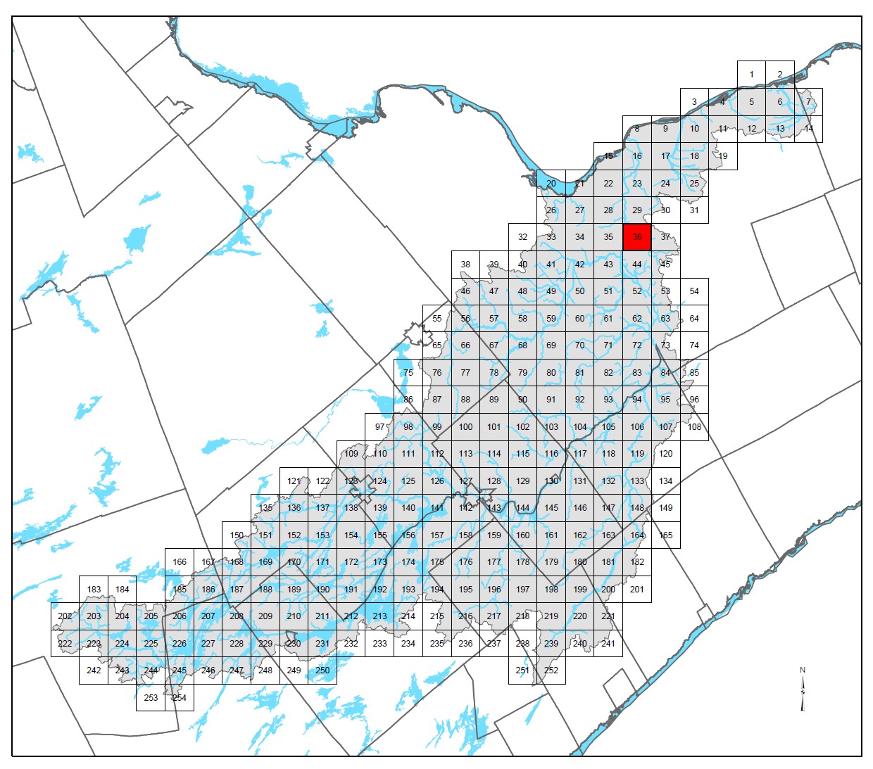
Index Map:
|
Public Consultation
Public consultation on the draft hazard mapping study for Stevens Creek from Malakoff Road to the Rideau River will continue until April 29, 2022. With the recent easing of provincial COVID-19 restrictions, the RVCA is now able to host an in-person presentation and question and answer session to provide an additional opportunity for public consultation.
Thursday, April 21, 2022
Alfred Taylor Recreation Centre
2300 Community Way, North Gower
Doors Open at 6:00 p.m.
Presentation begins at 6:15 p.m.
Question & Answer Period to follow
Anyone unable to attend can contact an RVCA Resource at 613-692-3571, toll-free at 1-800-267-3504 or by email at .
Questions? Comments? Please contact an RVCA Resource Specialist:
Phone: 613-692-3571 or 1-800-267-3504 ext. 1132 or 1193
Email: or complete an online property inquiry form
For those unable to participate in the consultation process, comments can be sent to Tyler Bauman, RVCA Water Resources Engineer (Flood Management) at .
Resources
- November 2021 Landowner Factsheet: Stevens Creek Hazard Mapping
- March 2022 Landowner Factshee: Stevens Creek Hazard Mapping
- Fiche descriptive, Nov. 2021: Étude cartographique des risques liés au ruisseau Steven
- Fiche descriptive, Mars 2022 : Étude cartographique des risques liés au ruisseau Steven
- Video: Hazard Mapping for Floods: What it is and why we do it
Project Status: Complete
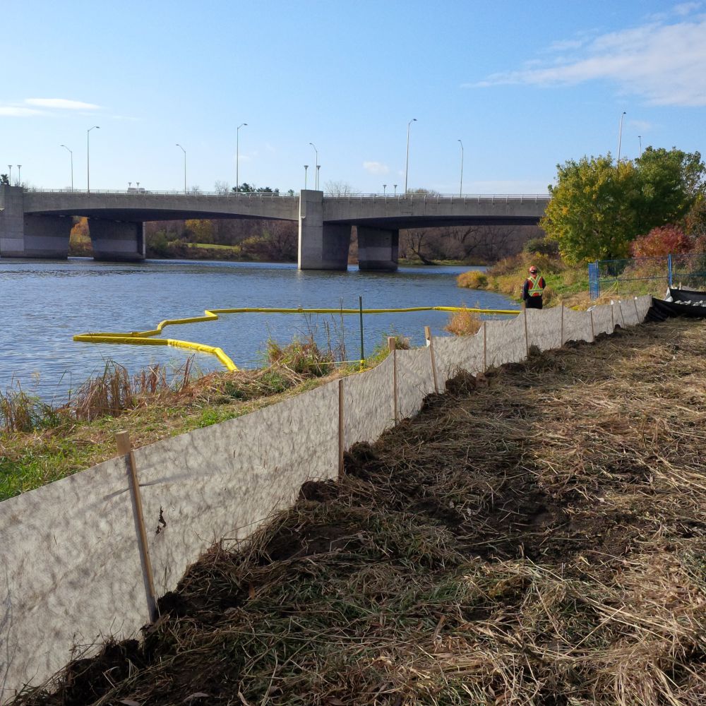
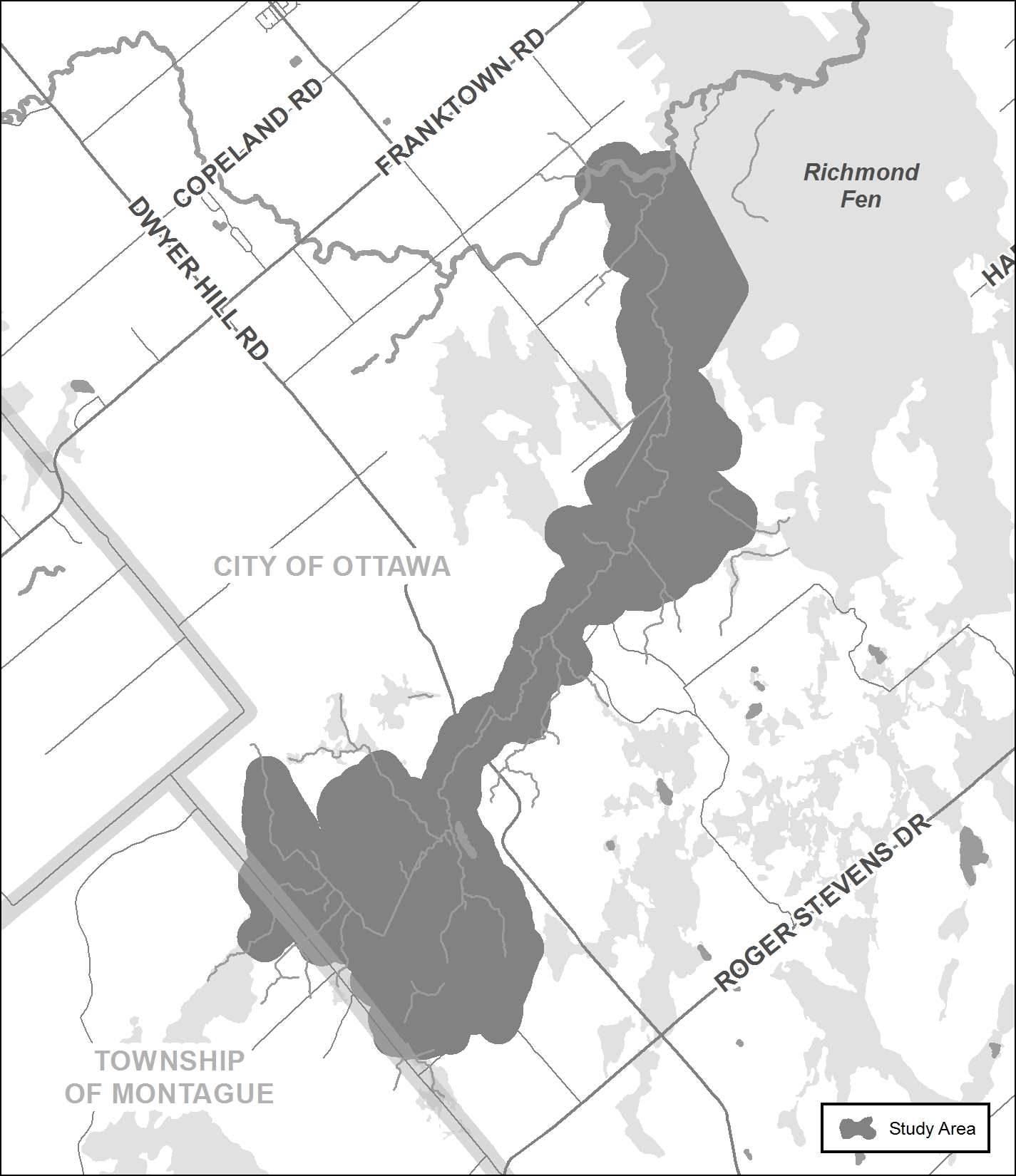
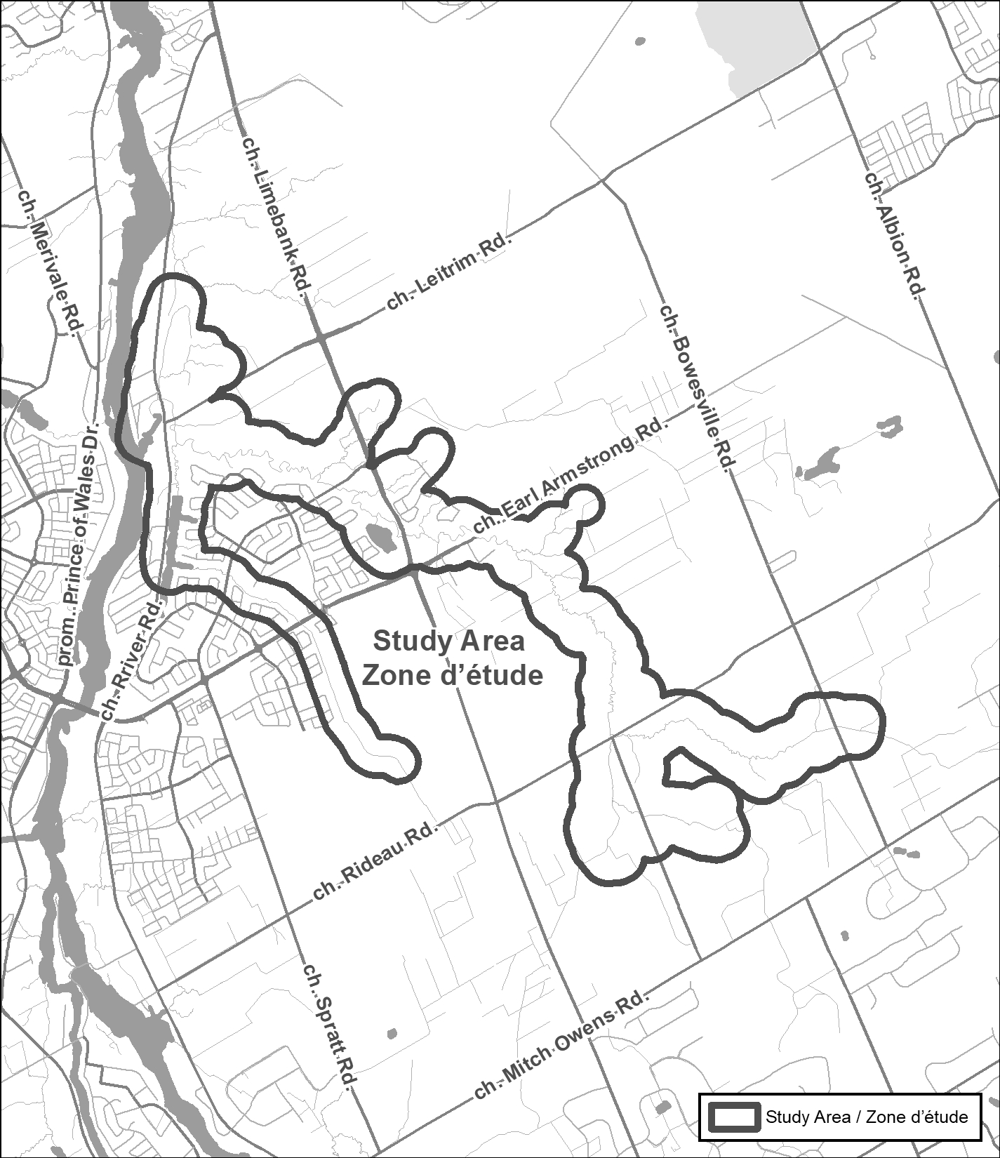 The Rideau Valley Conservation Authority (RVCA) has completed a hazard mapping study for Mosquito Creek from Mitch Owens Road to the Rideau River in the City of Ottawa.
Much of the area has been regulated since 2017 with the completion of the report entitled: Rideau River Flood Risk Mapping from Hogs Back to Kars, July 2017. This 2017 mapping captured Mosquito Creek from the Rideau River to Limebank Road. This new study extends to Mitch Owens and will update previous mapping.
These maps have been traditionally known as “floodplain mapping” or “regulation mapping” and they show areas that are prone to natural hazards such as flooding, erosion and natural environment features such as wetlands.
When completed, the mapping will be used by the City of Ottawa when updating their Official Plan and Zoning Schedules and in the review of development applications under the Planning Act. RVCA will also use the mapping to guide the review of development applications submitted under the Development, Interference with Wetlands and Alterations to Shorelines and Watercourses Regulation.
Members of the public are invited to share information and review the draft regulation and hazard maps (available below) during the public consultation period which will run until July 29, 2022. We also welcome you to see the draft hazard and regulations maps at the public open house.
Mosquito Creek Hazard Land and Regulations Mapping Open House
Rideauview Community Centre
4310 Shoreline Drive, Ottawa
Tuesday, June 28, 2022
4:30 to 8:00 p.m.
You can also book individual or small group meetings on-line or in person to review mapping and discuss potential impacts and concerns by contacting an RVCA Resource at 613-692-3571, toll-free at 1-800-267-3504 or by email at or complete an online property inquiry form.
This study is just one of several ongoing hazard mapping studies taking place in the watershed. For a complete list on ongoing work, click here.
Draft Maps
OPTION 1: Interactive Map - Click here to view the interactive map full screen
The interactive map allows you to zoom in to a specific property and get very specific digital informaiton. Need help? Have questions? Call a Resource Specialist at 613-692-3571 or 1-800-267-3504 ext. 1132 or 1193 or email us at .
OPTION 2: PDF Maps
If you prefer more traditional mapping, try our PDF maps accessible below. Need help? Have questions? Call a Resource Specialist at 613-692-3571 or 1-800-267-3504 ext. 1132 or 1193 or email us at .
|
Index Map:
|
Resources
- Landowner Factsheet: Moquito Creek Hazard Mapping
- Fiche descriptive : Étude cartographique des risques liés au ruisseau Mosquito
- Video: Hazard Mapping for Floods: What it is and why we do it
Project Status: Active
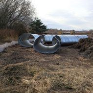
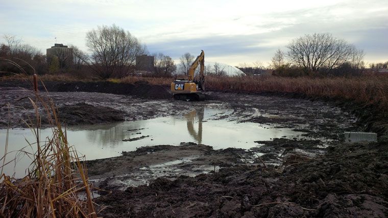
Posted: September 12, 2022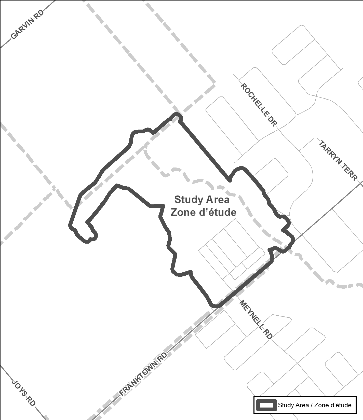 The Rideau Valley Conservation Authority, in collaboration with the City of Ottawa, has recently embarked on a hazard mapping update for the realigned Van Gaal Drain in the Village of Richmond. This mapping identifies changes to flood prone areas and where new development is to be allowed, restricted or prohibited in accordance with provincial and municipal planning policies.
These maps have been traditionally known as “floodplain mapping” or “regulation mapping” and they show areas that are prone to natural hazards such as flooding, erosion and natural environment features such as wetlands.
Mapping and regulating natural hazard areas ensure safe and sustainable development. Development projects within these areas must obtain permission from the Conservation Authority before proceeding (Ontario Regulation 174/06, Development, Interference with Wetlands and Alteration to Shorelines and Watercourses). When completed, the mapping will also be used by the City of Ottawa when updating their Official Plan and Zoning Schedules and in the review of development applications under the Planning Act.
The Rideau Valley Conservation Authority (RVCA) invites you to participate in the public consultation process regarding this mapping update from September 12 to October 14, 2022.
You can participate by viewing draft maps online (see links below) and by contacting an RVCA Resource Specialist (phone 613-692-3571, toll-free at 1-800-267-3504 ext. 1132 or 1193, email . You can also join us at our public open house.
Van Gaal Drain Hazard Land and Regulations Mapping Open House
Richmond Memorial Community Centre (Seniors’ Room)
6095 Perth Street, Richmond
Wednesday, October 5, 2022
4:30 to 8 p.m.
This consultation period and open house offer the opportunity for RVCA staff to respond to any questions that you may have regarding the mapping and collect your input about local conditions.
Draft Map
Interactive Map - Click here to view the interactive map full screen
The interactive map allows you to zoom in to a specific property and get very specific digital informaiton. Need help? Have questions? Call a Resource Specialist at 613-692-3571 or 1-800-267-3504 ext. 1132 or 1193 or email us at .
Need help? Have questions? Call a Resource Specialist at 613-692-3571 or 1-800-267-3504 ext. 1132 or 1193 or email us at .
Technical Report
Download J.F. Sabourin and Associates Inc. report:
Richmond Village Development / Proposed Realignment of Van Gaal Drain


