
Special Projects (23)
The Rideau Valley Conservation Authority (RVCA) is conducting several hazard mapping studies on watercourses within the City of Ottawa and the RVCA area of jurisdiction. For some watercourses, old mapping will be updated; and for others, hazards maps will be created for the first time.
Project Status: Complete
Hogs Back to Kars & Kars to Burritts Rapids
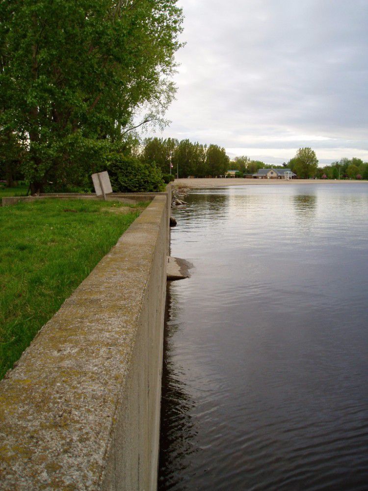
The Rideau Valley Conservation Authority (RVCA) has completed two hazard mapping studies for the Rideau River: Hogs Back to Kars and Kars to Burritts Rapids. These studies update existing mapping in some areas and new mapping in others.
These maps are typically known as “floodplain mapping” and they show areas that are prone to natural hazards such as flooding, erosion and natural environment features such as wetlands. Both Rideau River studies look at identifying two main types of hazards along these stretches of the watercourse: flooding and slope stability.
When completed, the mapping will be used by the City of Ottawa and the Municipality of North Grenville when updating their Official Plan and Zoning Schedules and in the review of development applications under the Planning Act. RVCA will also use the mapping to guide the review of development applications submitted under the Province’s Development, Interference with Wetlands and Alterations to Shorelines and Watercourses Regulation.
Members of the public are encouraged to attend our open house and/or provide comments on the mapping below. Conservation Authority staff welcome historical records of past flood events, news clippings, photographs and even anecdotal stories to help confirm the reasonableness of calculations and resulting hazard mapping. For those unable to attend the open house, comments can be sent to Ferdous Ahmed, RVCA Senior Water Resources Engineer at .
These mapping studies are being completed as part of the City of Ottawa Hazard Mapping Project.
These studies are being done through a collaboration — known as the City of Ottawa Hazard Mapping Project — involving the City of Ottawa and the Mississippi Valley, Rideau Valley and South Nation Conservation Authorities. The City recognized a need to update its zoning schedules based on up-to-date flood risk mapping and has provided contributions enabling the Conservation Authorities to move ahead with these studies sooner than would otherwise be possible. The RVCA is currently working on several studies in the Ottawa area.
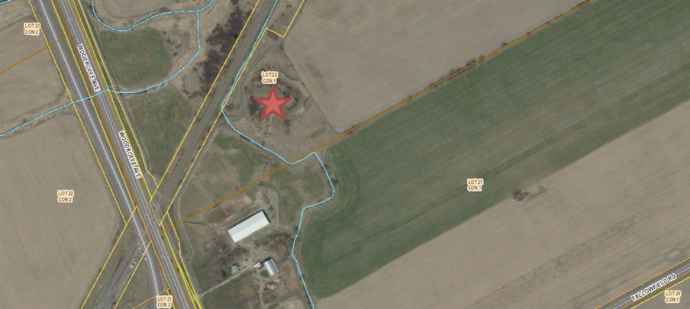
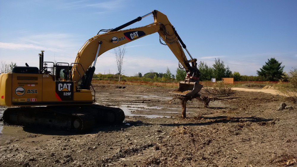
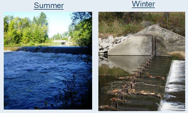
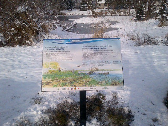
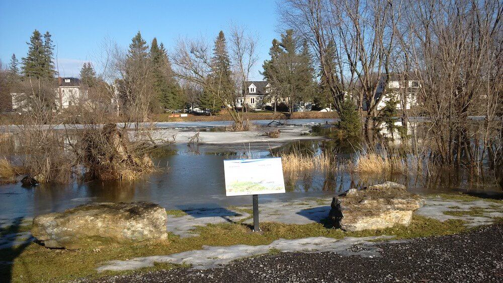
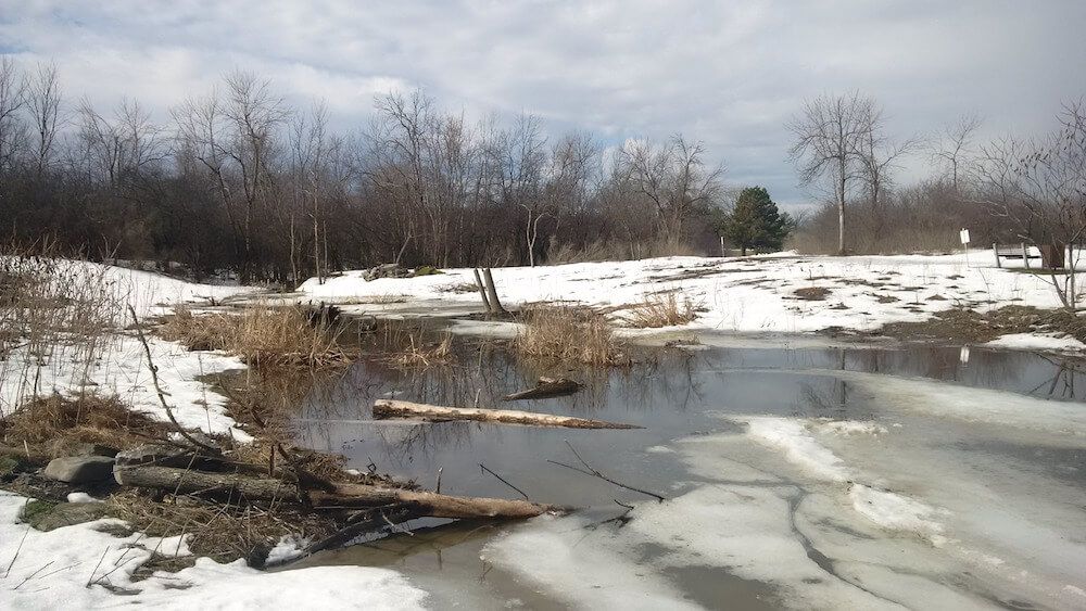
The Hearts Desire Weir is a low-head inline structure operated seasonally on the Jock River between two communities, Hearts Desire and Stonebridge. The Jock River is a tributary river to the Rideau River located about 900 m downstream of the weir. The weir was constructed in 1975 to: provide higher summer flows and thereby improve habitat conditions for fish and wildlife; ensure adequate water for livestock watering; provide community ponds for fire protection and community beautification; and improve the year-round appearance of the river and lessen the likelihood of future pollution problems resulting from expanding urbanization.
Over the last 42 years, a great deal about the watercourse and its neighbouring communities has changed, including:
- concepts on how rivers and watersheds are managed,
- occupational health and safety risks associated with the annual installation and removal of the weir,
- concerns from local community groups about slope failures and erosion upstream of the weir; and,
- indications from whitewater enthusiasts that the weir site is considered to be hazardous by canoeists and kayakers.
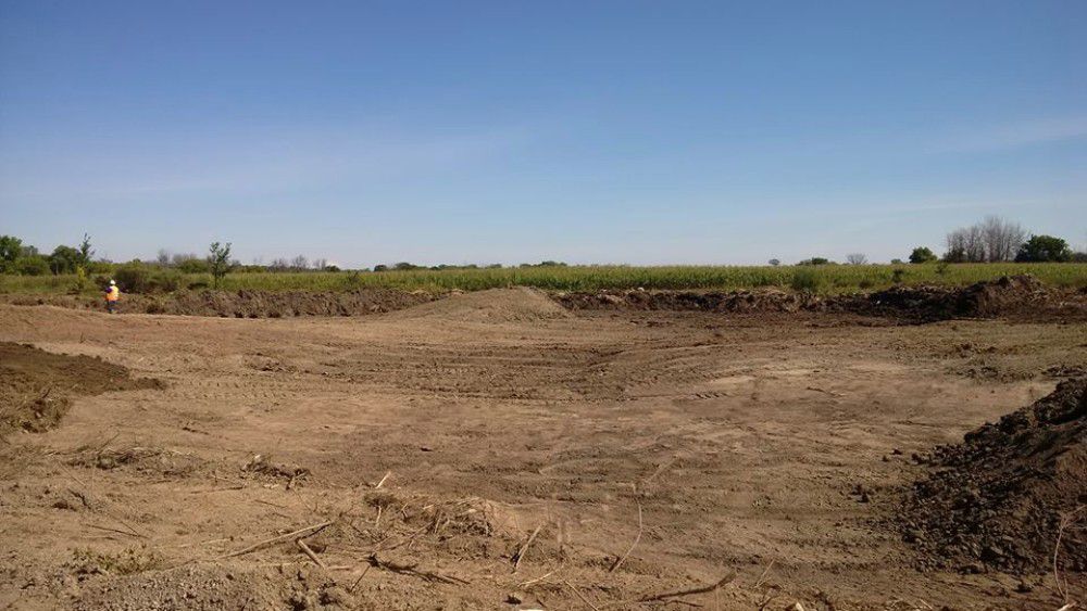
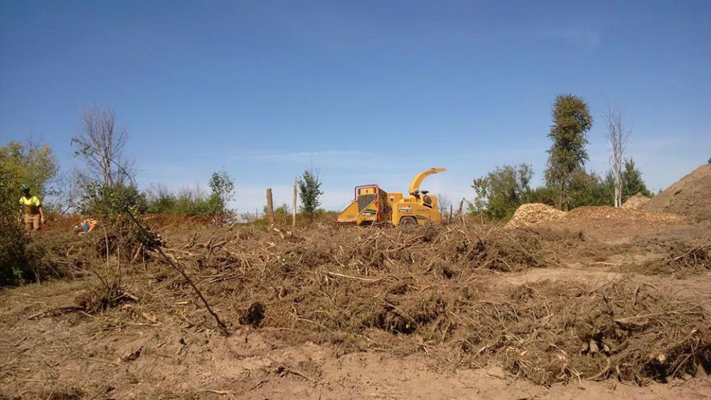
In February 2008, the RVCA Board of Directors approved the development of a plan to decommission the Hearts Desire Weir. In response to public input, a restoration plan for the Jock River and its riverbank was also initiated. The decommissioning plan and restoration plan is now in draft form and ready for public input.
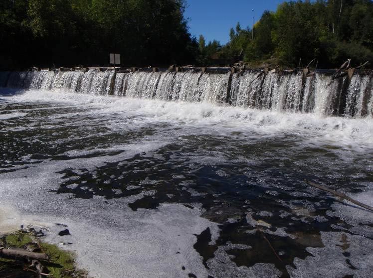
The RVCA is committed to maintaining the current operation of the weir until such a time that the Board of Directors chooses an alternative.
For more information, contact Terry Davidson at or 613-692-3571 ext. 1107 or Mike Yee at or ext. 1176.
Resources
Shoreline Property Owner Package, November 2013
- Hearts Desire Weir Decommissioning and Riparian Restoration Plan Protocol
- Landowner Contact — Shoreline Site Visits
- Landowner Contact Surveying of Estimated Water Levels
Hearts Desire Riparian Restoration Concept Report, October 2011
hd-Riparian_Restoration_PlanFINAL.pdf
Appendix I: Community Representatives Meeting Minutes - September 2010 and Open House Meeting Notes - December 2010
Parish Geomorphic Hydraulic Modeling Technical Report, July 2011(11 mb)
J.L. Richards and Associates Ltd. Jock River Conservation Study, June 1968
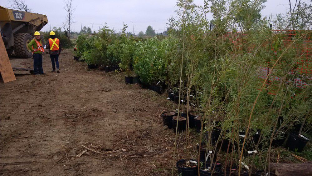
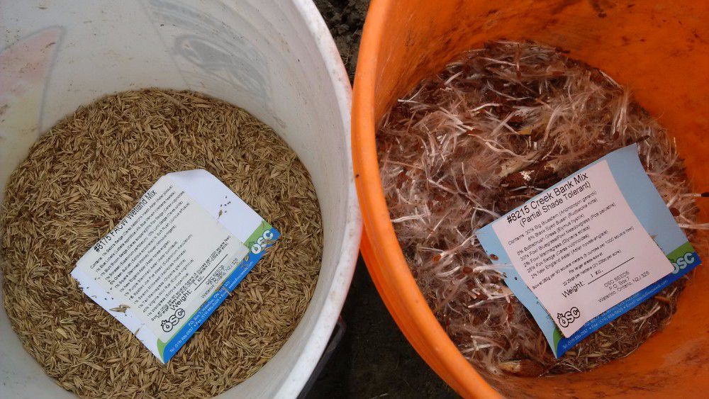
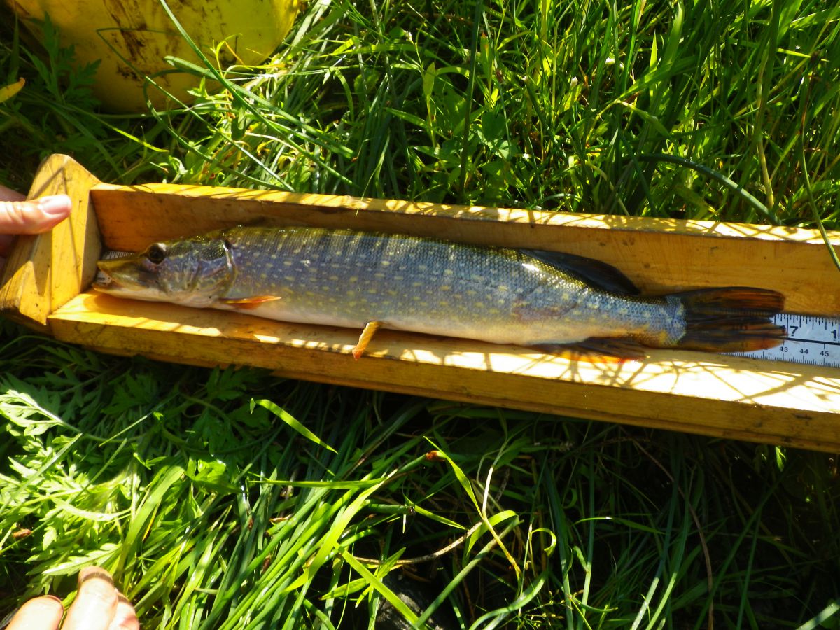
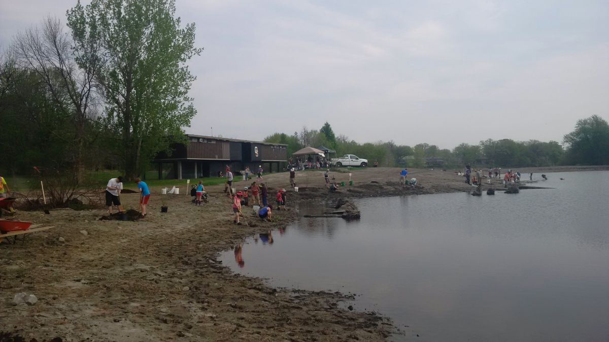
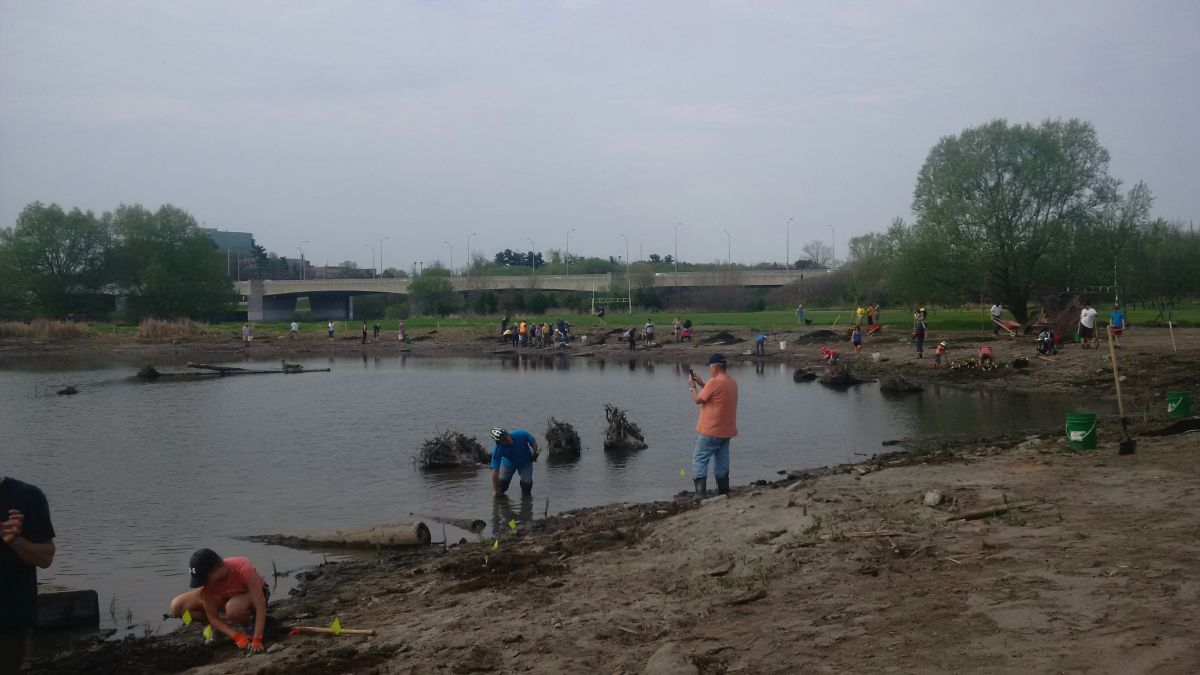
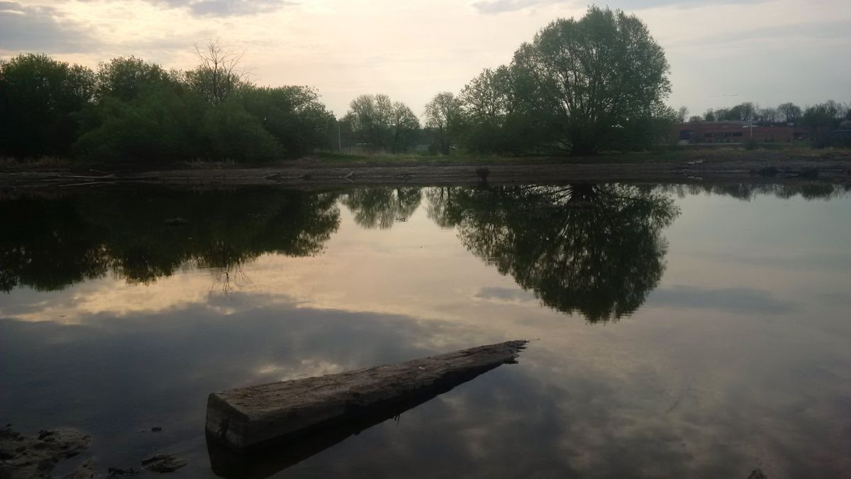
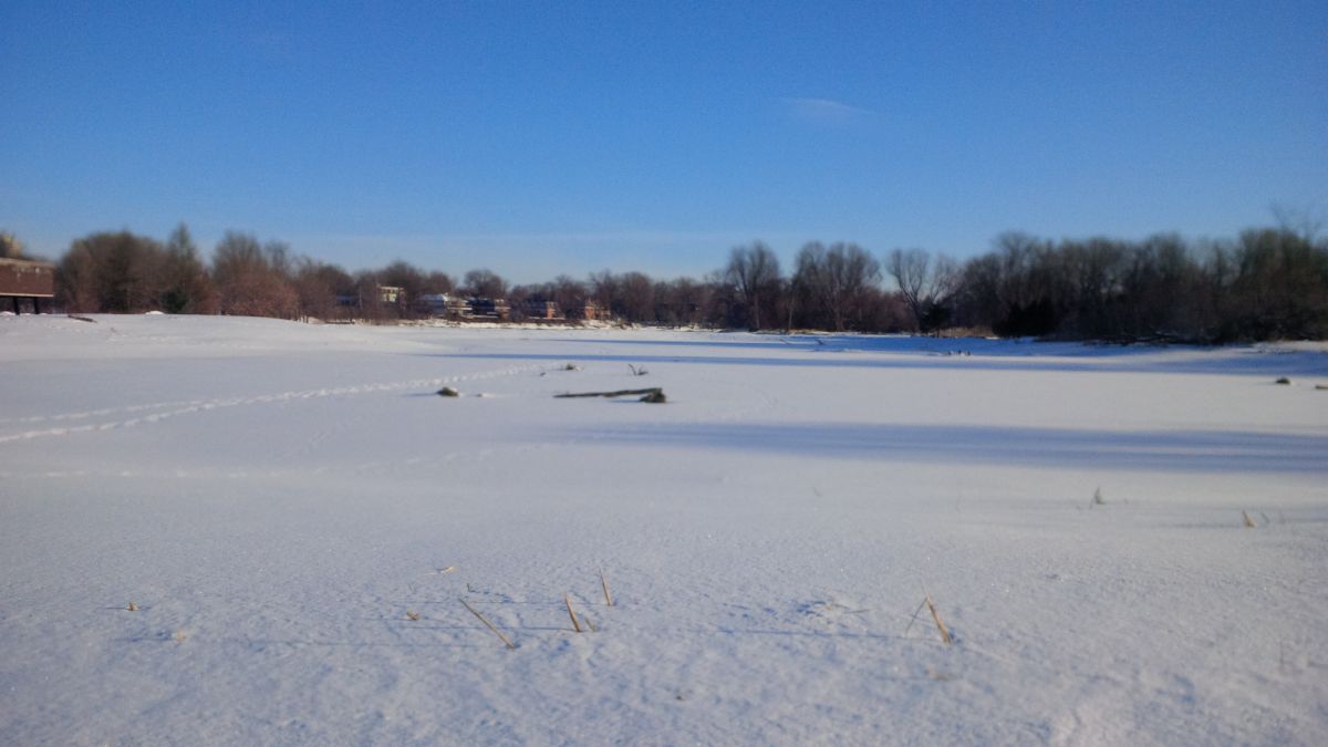
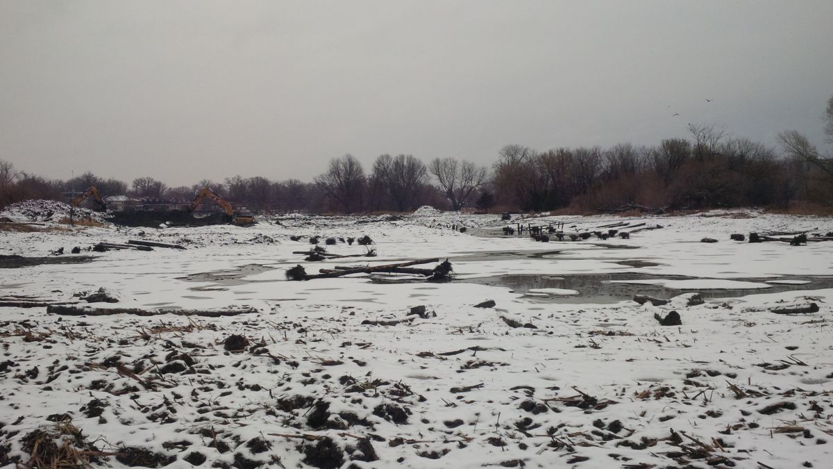
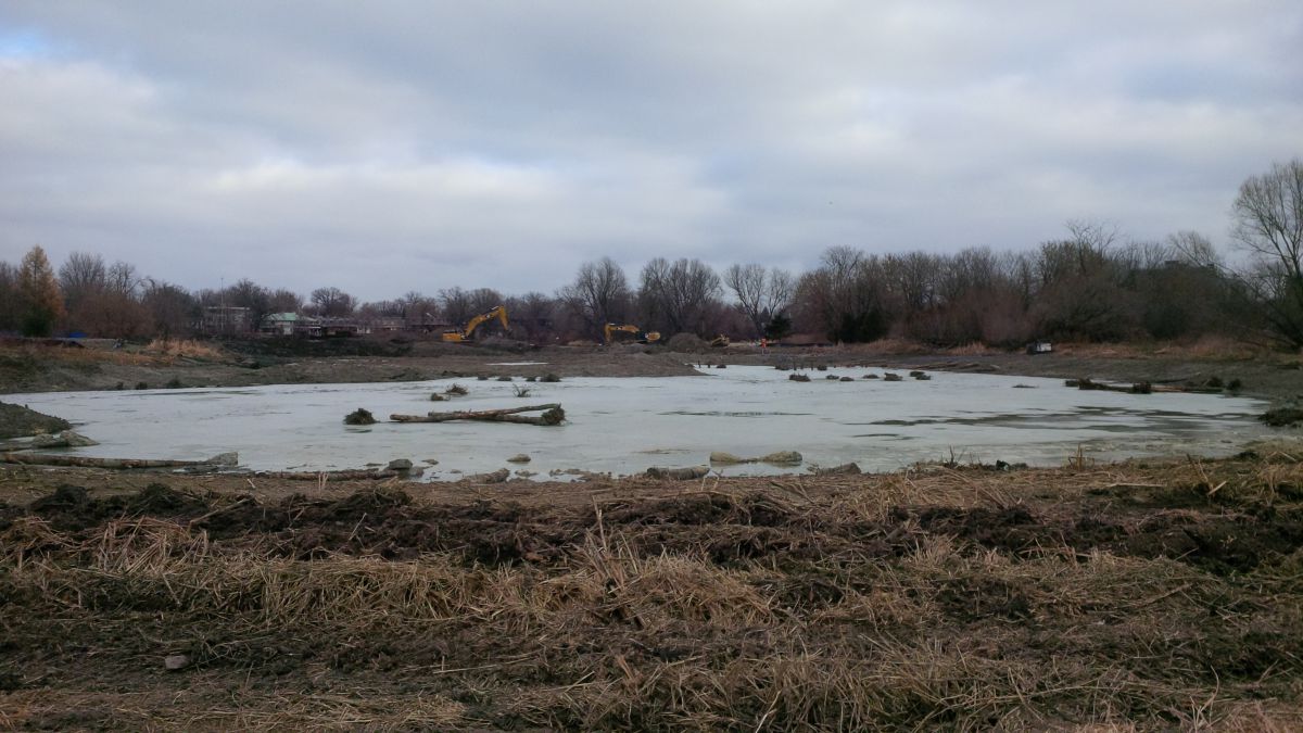
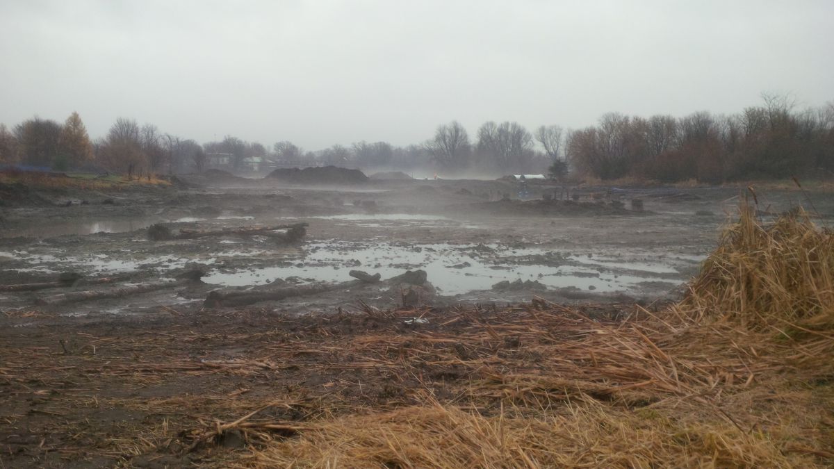
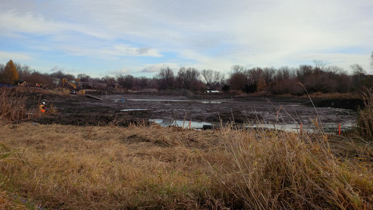
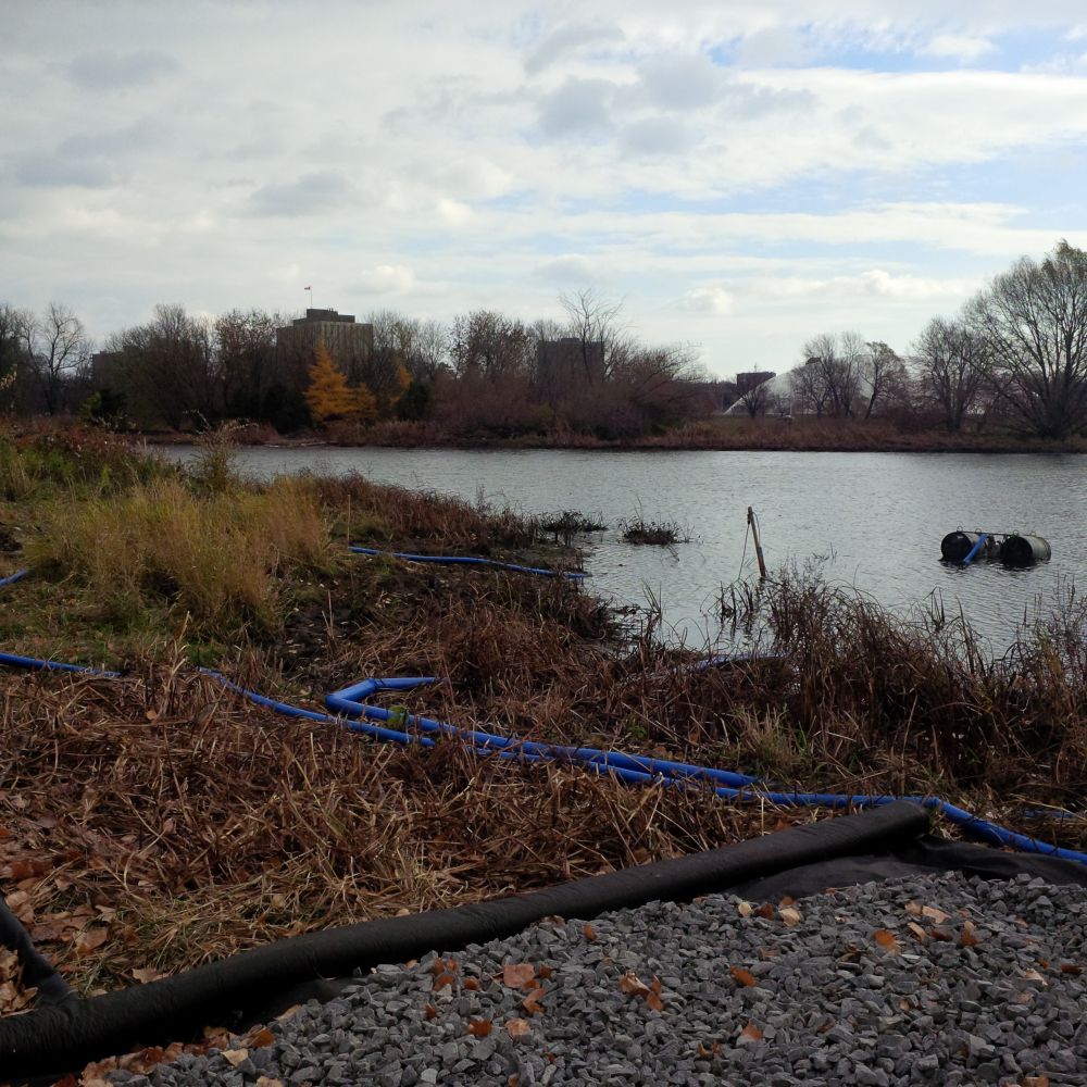
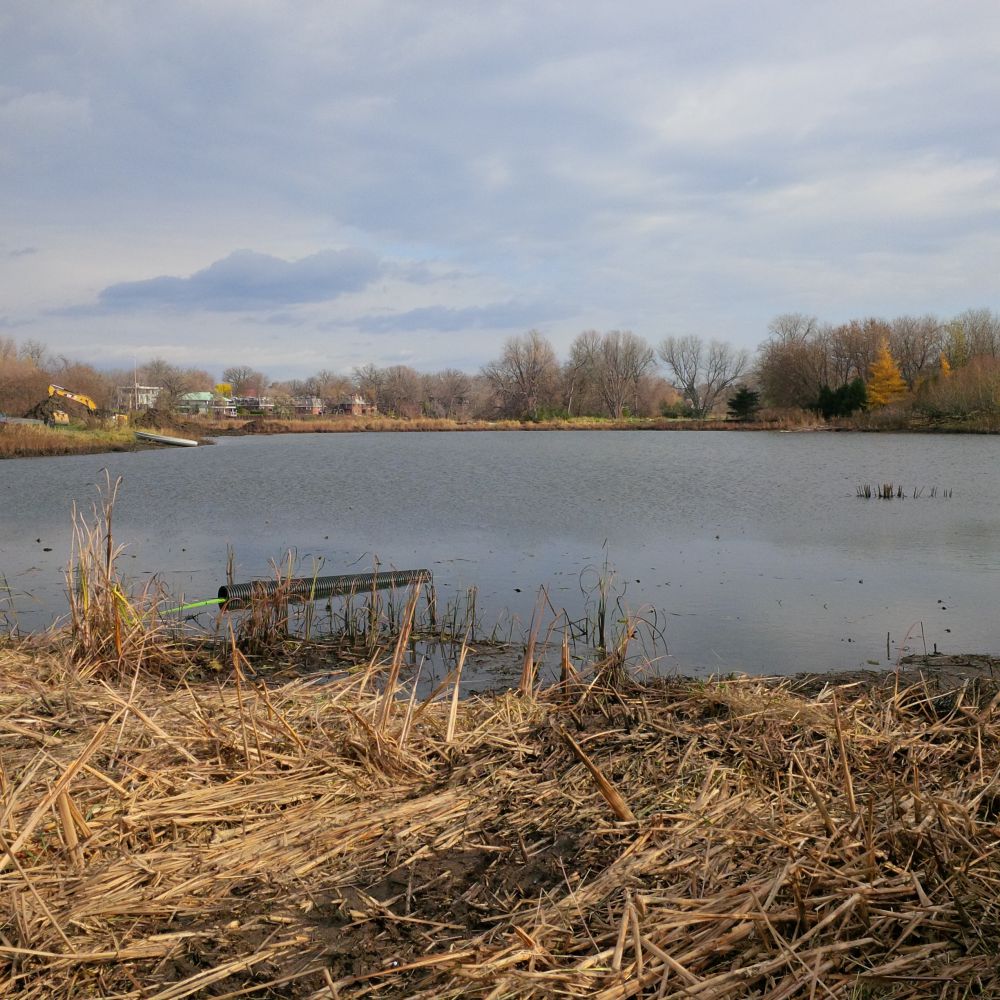
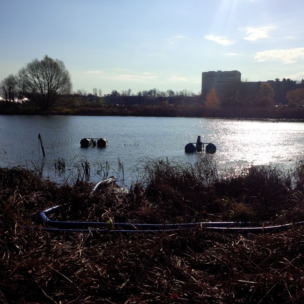
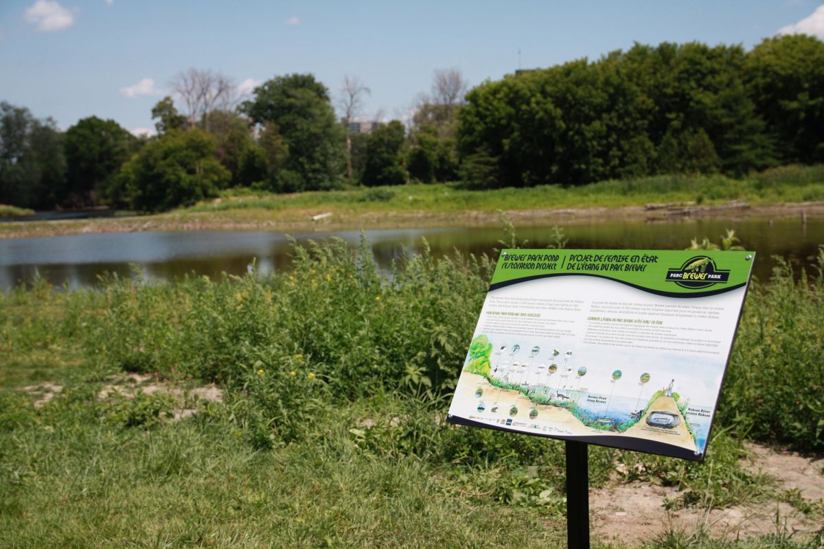
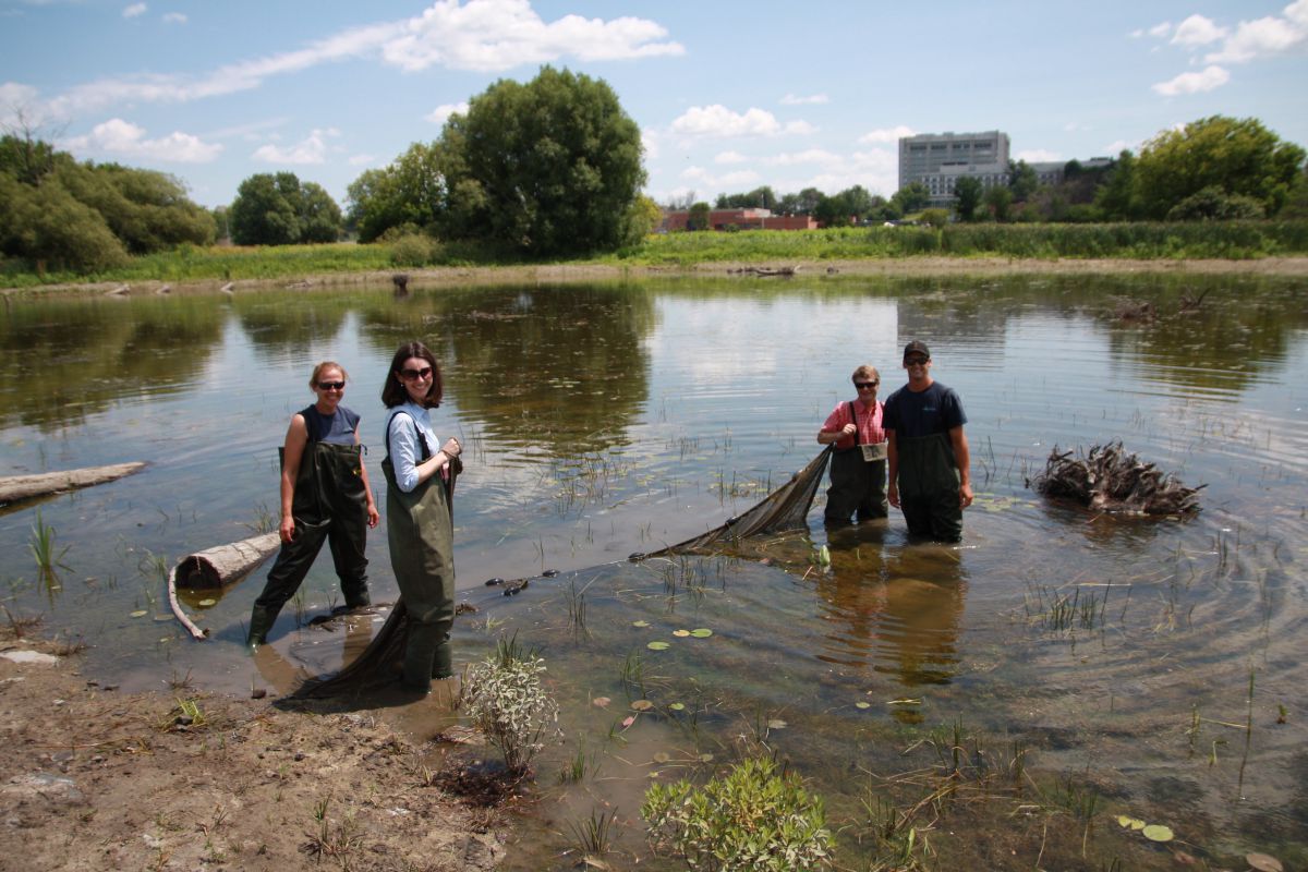
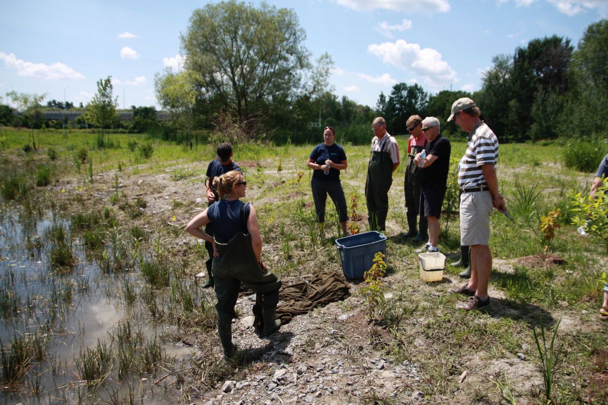
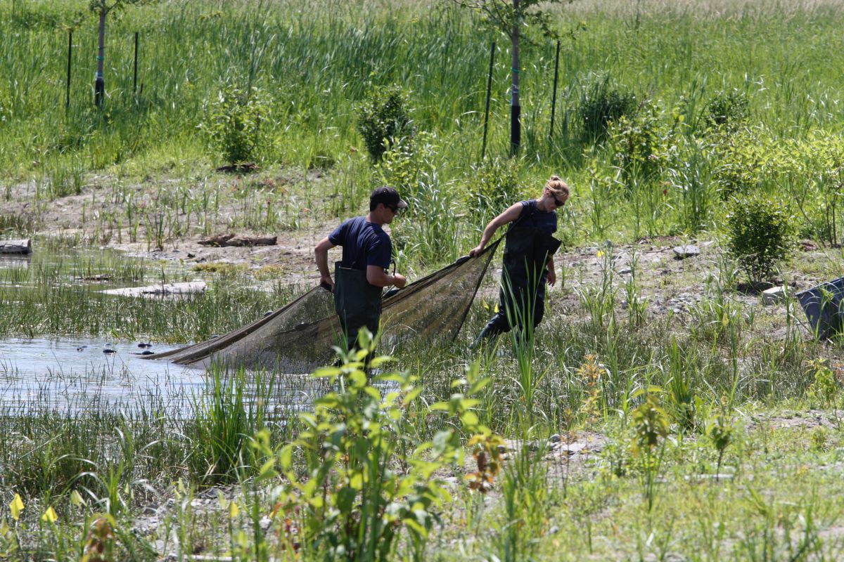
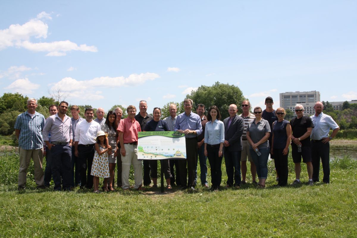
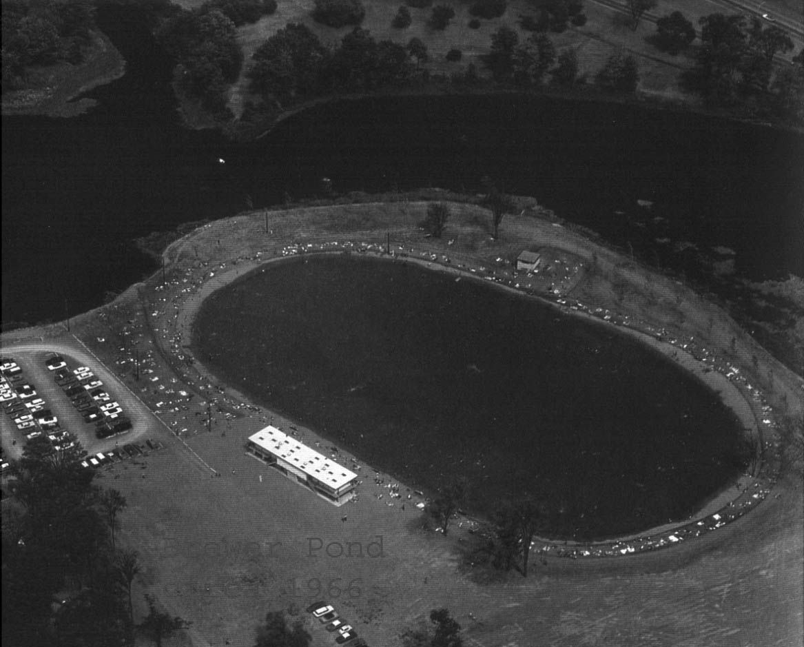
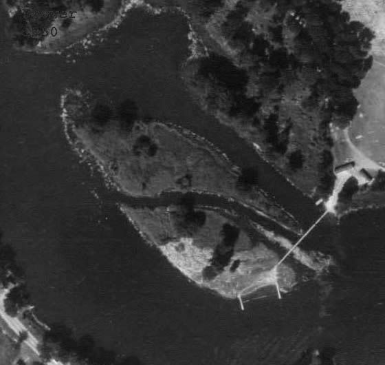
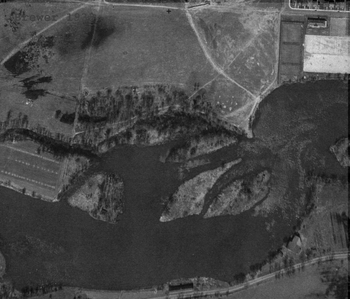
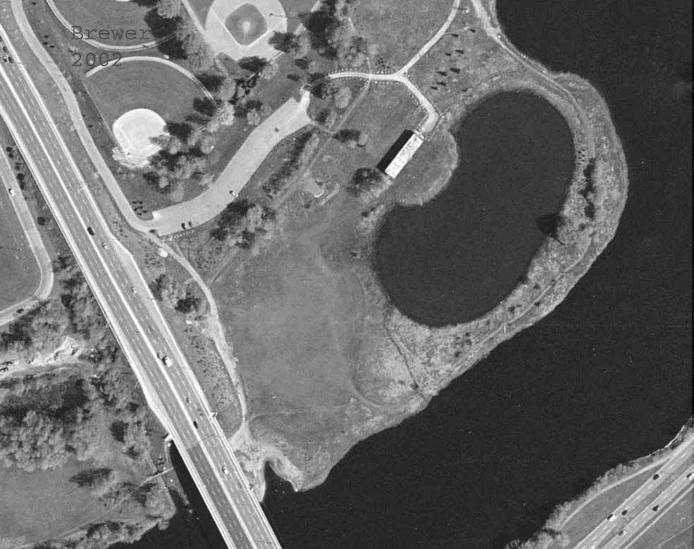
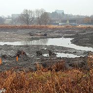
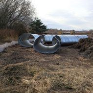
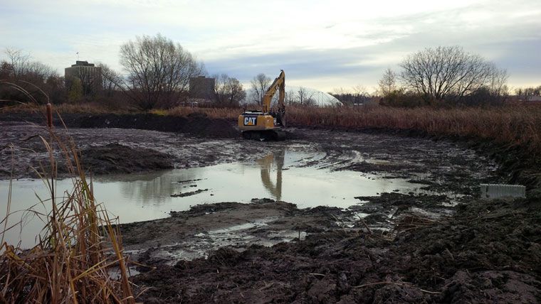
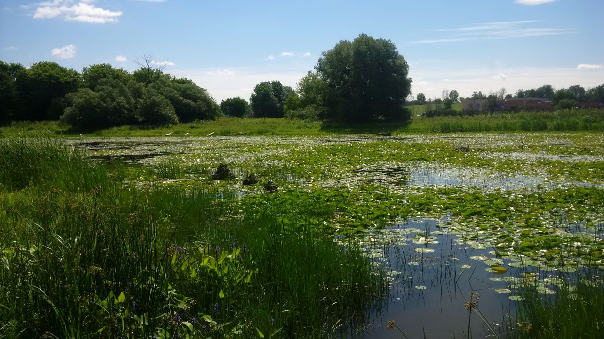
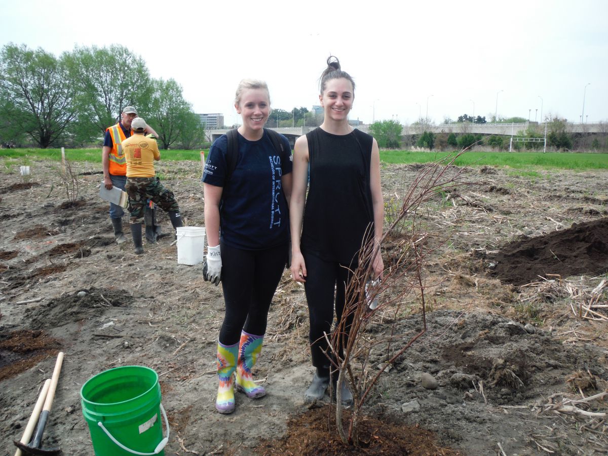
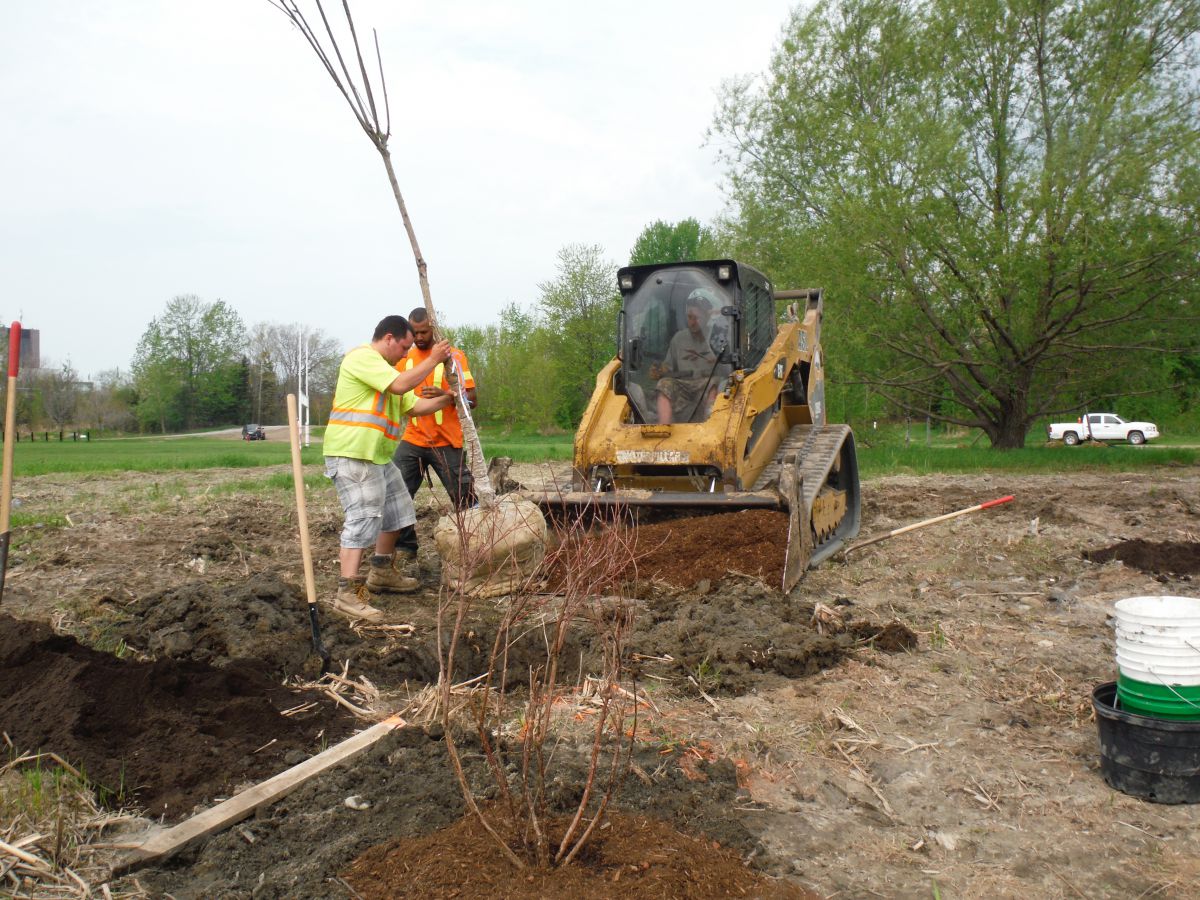
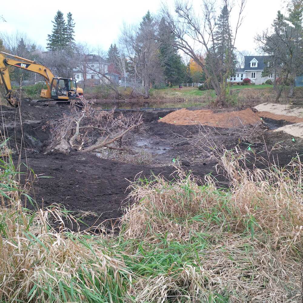
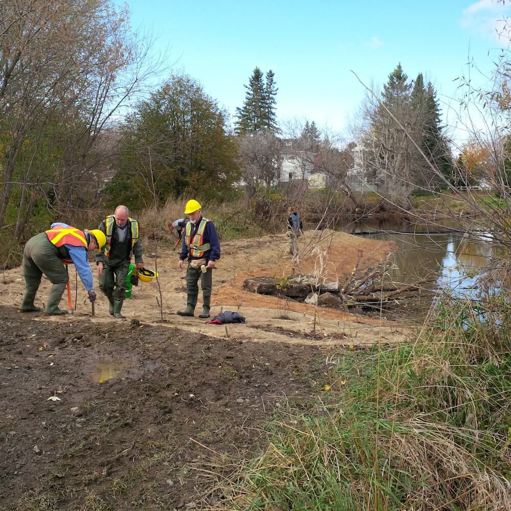
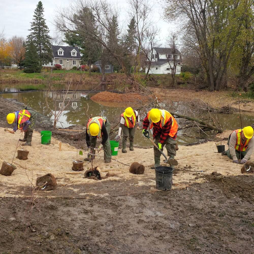
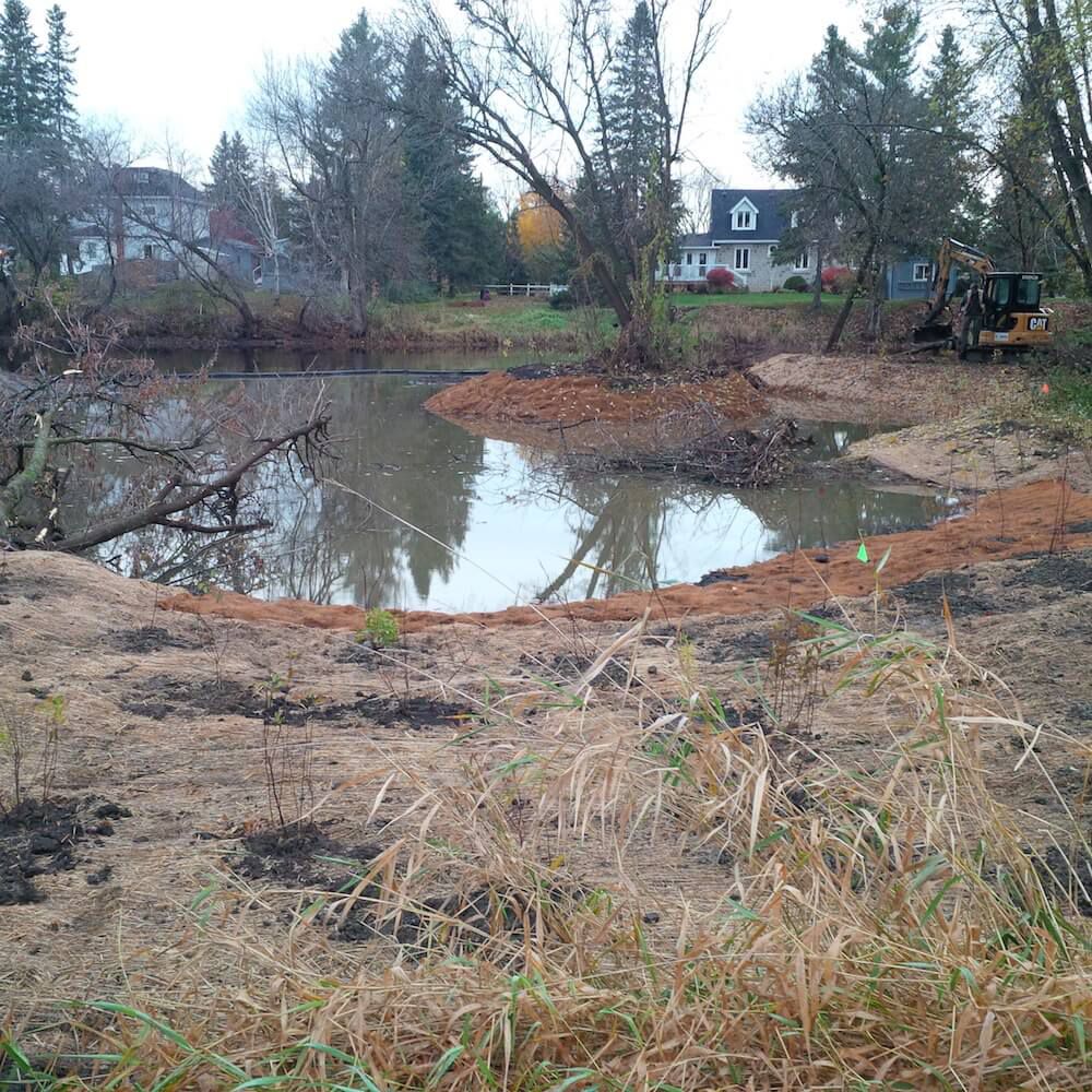
From October to December 2014 the landlocked Brewer Park Pond and former artificial swimming hole was reconnected to the main channel of the Rideau River. The newly connected pond boasts increased biodiversity with the creation of a new, vibrant wetland and pond with shoreline plantings, breeding bird habitat, amphibian habitat, turtle nesting beds and basking logs. The pond will provide improved spawning, nursery, rearing and feeding habitat for the local fish community in the Rideau all year round. This part of the Rideau River is home smallmouth bass, largemouth bass, yellow perch, northern pike, walleye and muskellunge.
Project Highlights:
- 16,000 square metres of new, functioning wetland and fish habitat in the heart of the City of Ottawa
- 1,000 truckloads of soil removed to contour pond into more productive habitat
- 120 community volunteers helped plant over 1,600 trees, shrubs and aquatic plants in and around the pond
- 8 weeks of construction from October to December 2014
- Numerous basking logs, root wads and log piles installed as habitat for turtles, fish, amphibians
Ecological benefits:
- Reconnected pond allows fish species year-round access in and out of the pond into the main river
- Eliminates the potential for fish kills as a result of low oxygen conditions in the pond over winter and summer months
- Altered elevations creates conditions suitable for more diverse aquatic vegetation
- New functional spawning, nursery, rearing and food supply habitat created in the restored wetland for fish in the adjacent reach of the Rideau River
- Provides new and enhanced winter and summer refuge areas for fish
- Increased biodiversity.
- Enhanced wetland improves water quality in the Rideau River
Project Partners
- Fisheries and Oceans Canada
- Fish Biology & Conservation Physiology Lab
- Carleton University
- Minto
- Muskies Canada
- MNRF
- City of Ottawa
- Ottawa South Community Association
- Richcraft


Information
Jennifer Lamoureux
Aquatic and Fish Habitat Biologist,
Rideau Valley Conservation Authority
613-692-3571 ext. 1108
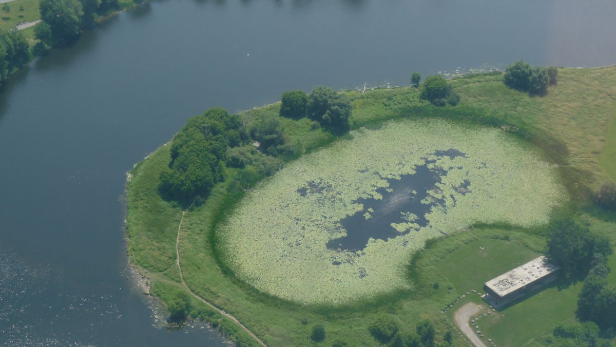
The Rideau Valley Conservation Authority (RVCA) partnered with the National Capital Commission (NCC) to design and construct a small wetland adjacent to the Ottawa River. This new wetland is located close to Remic Rapids along the Sir John A. Macdonald Parkway. The feature is 0.15 hectares and consists of a shallow basin that is a water supply for wildlife as well as amphibian breeding and bird foraging area. Volunteers and NGO community groups provided clean up and planting assistance. The wetland provides a unique and highly visible habitat feature along the National Capital Commission Ottawa River Pathway.
Benefits of the Project
- Altered elevations creates areas for more diverse aquatic and terrestrial plant life
- Provides new and enhanced habitat for wetland wildlife
- Provides quiet area for water fowl and shorebird nesting, rearing and feeding
- Installed woody structures creates more diverse habitat
- Installed sand and pea stone creates turtle nesting and basking areas
- Common buckthorn (invasive species) removal allowed for more native plant growth
Project Partners
![]()

Information
Jennifer Lamoureux
Aquatic and Fish Habitat Biologist,
Rideau Valley Conservation Authority
613-692-3571 ext. 1108
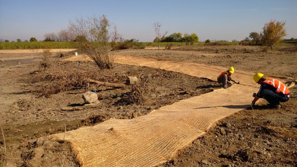
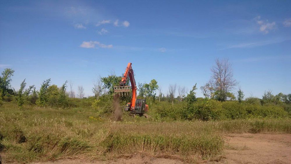
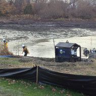
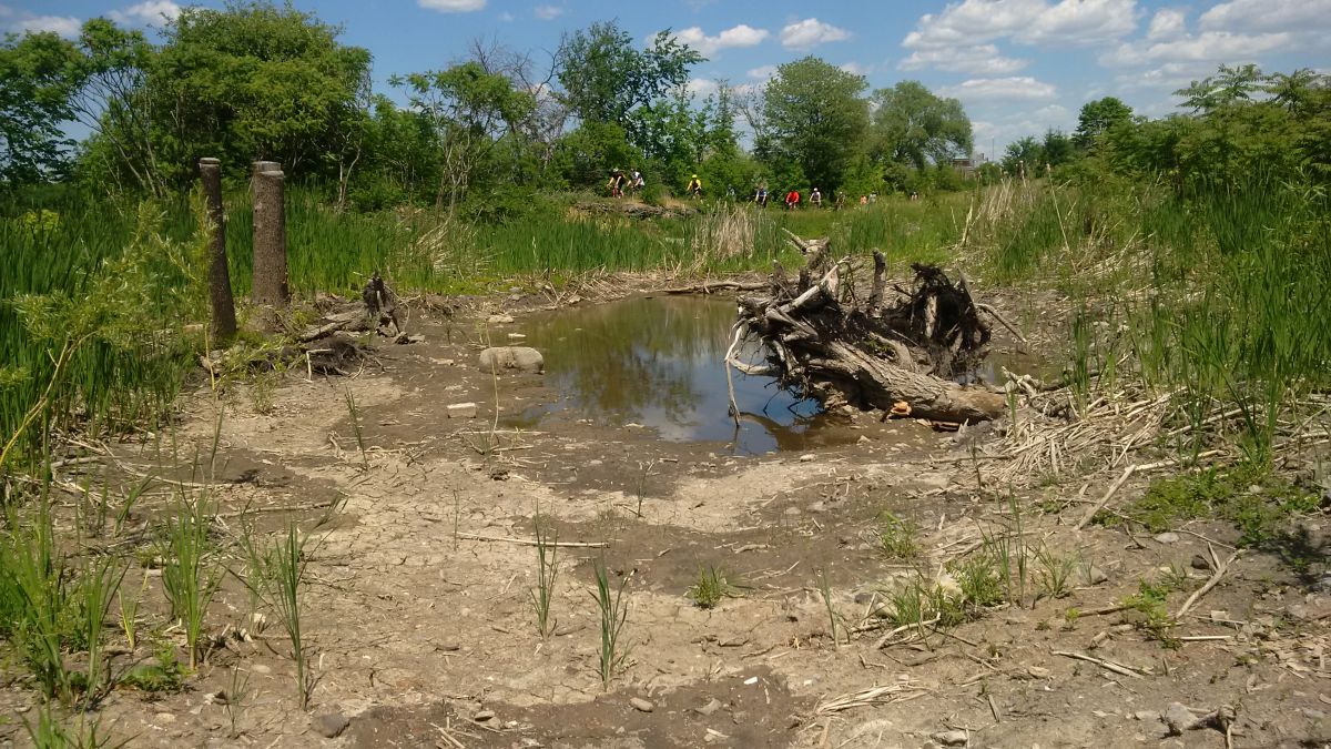
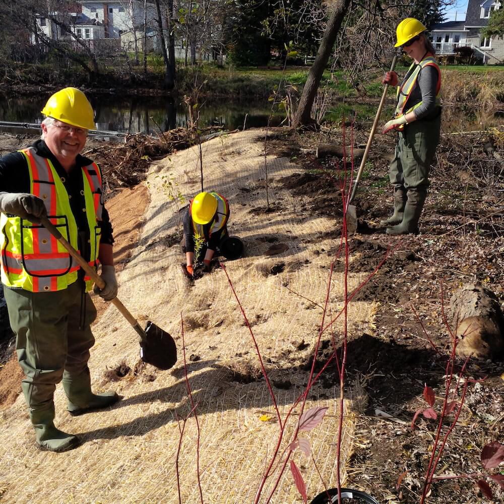
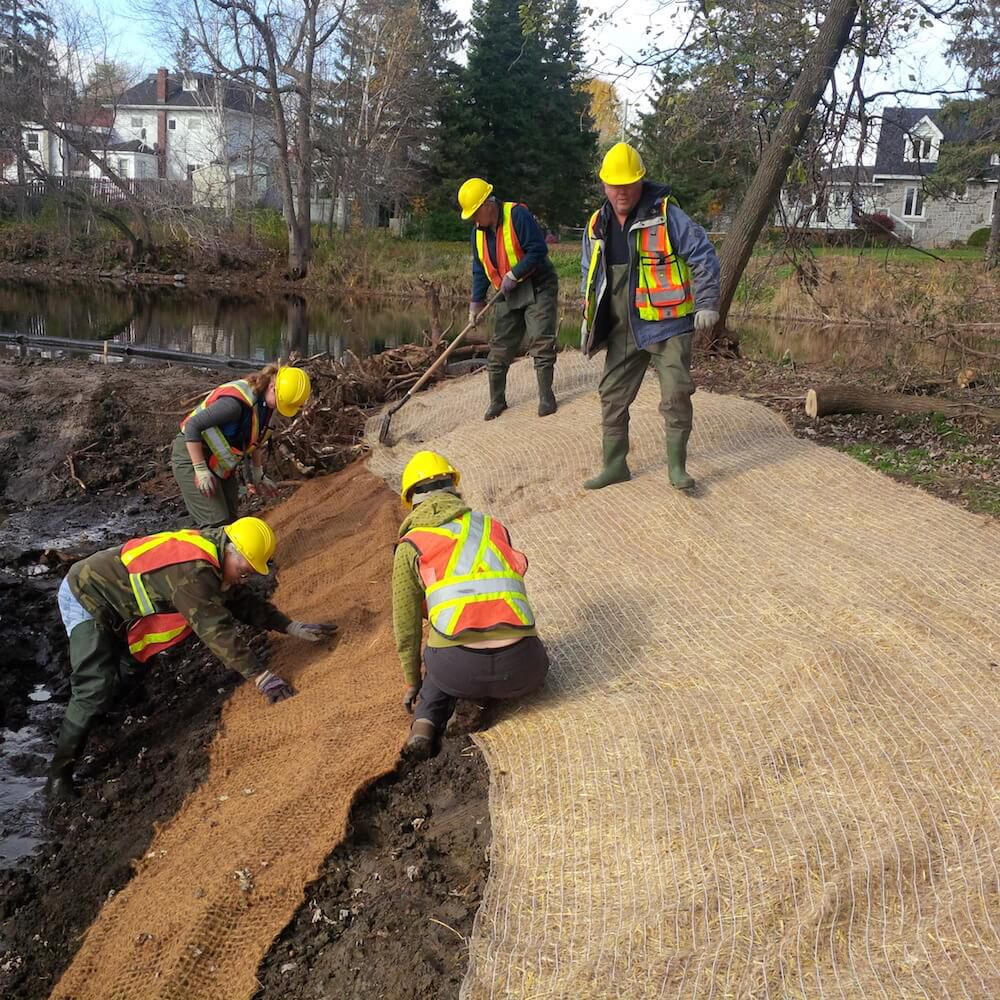
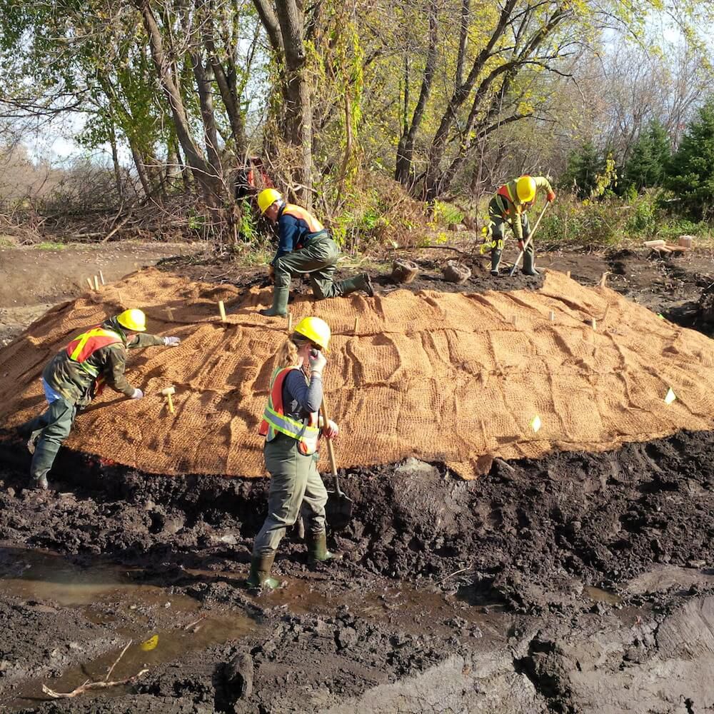
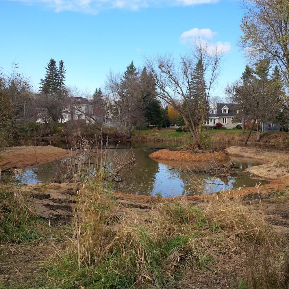
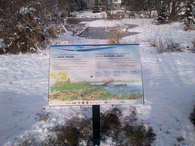
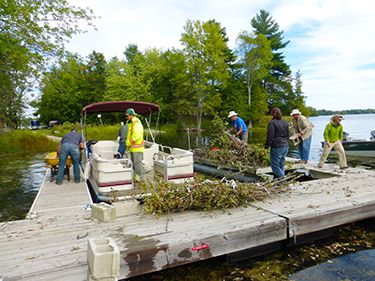
The Rideau Valley Conservation Authority, with their partners, has built a fish habitat embayment at the Richmond Conservation Area, located in Ottawa, Ontario. The project involved converting an existing grassed park area into a small wetland embayment along the shore of the Jock River. Raab Construction helped construct the wetland with the assistance of many dedicated volunteers.
Construction Highlights
- 1,000 square metres of new spawning, nursery, rearing and feeding habitat created to support the 40 species of fish that reside in the Jock River
- 9 days of construction took place in October 2014
- 108 truckloads of fill were removed from the Jock River floodplain
- 100 metres of new shoreline created by re-grading the existing slope and planting a shoreline buffer around the perimeter of the new embayment
In 2014, the Jock River Embayment Creation Project won the Top Canadian Fishing Industry Conservation Project Award.
Project Partners
- Rideau Valley Conservation Authority
- Fisheries and Oceans Canada — Recreational Fisheries Conservation Partnerships Program
- Muskies Canada Ottawa Chapter
- National Defence Fish and Game Club
- Community Foundation of Ottawa
- Ottawa Fly Fishers Society
- Shell Fueling Change
- Fendock
Information
Jennifer Lamoureux
Aquatic and Fish Habitat Biologist,
Rideau Valley Conservation Authority
613-692-3571 ext. 1108
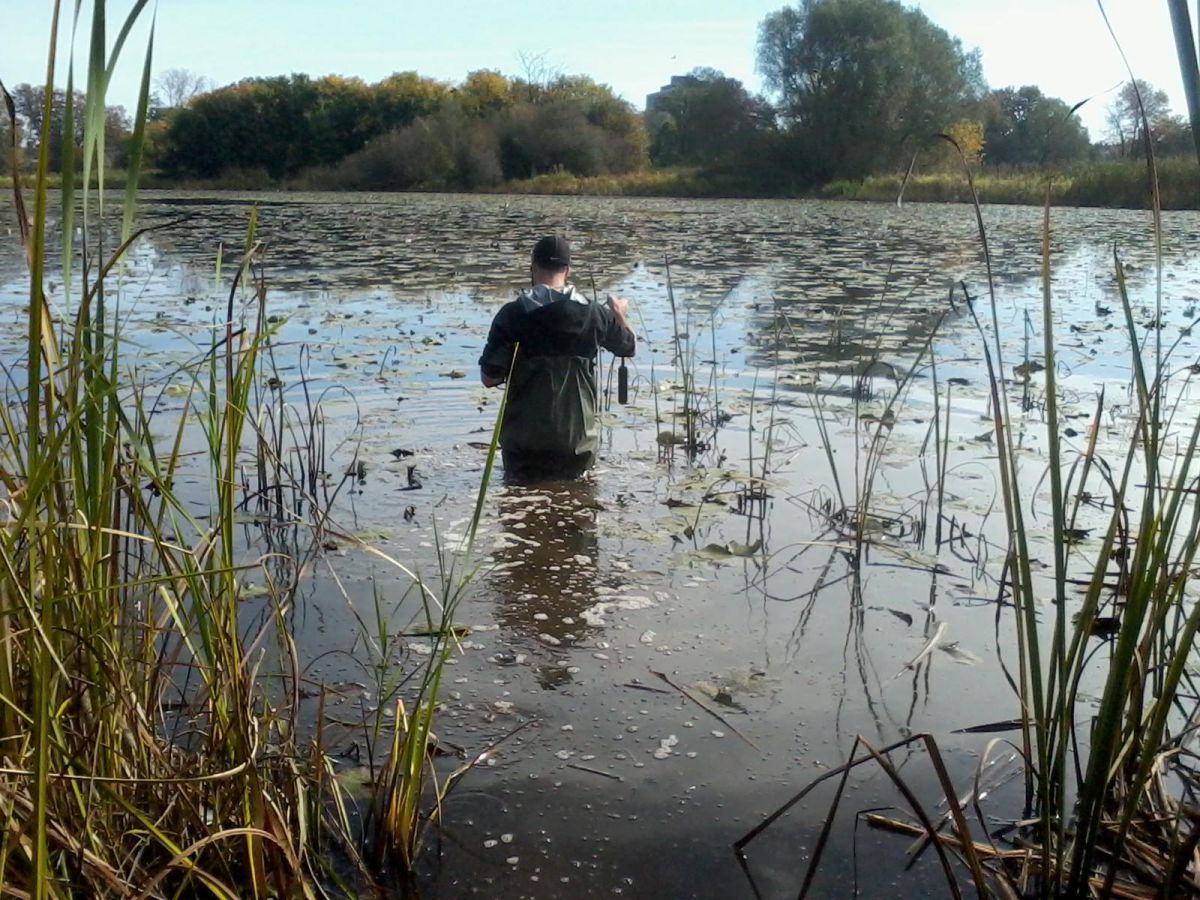
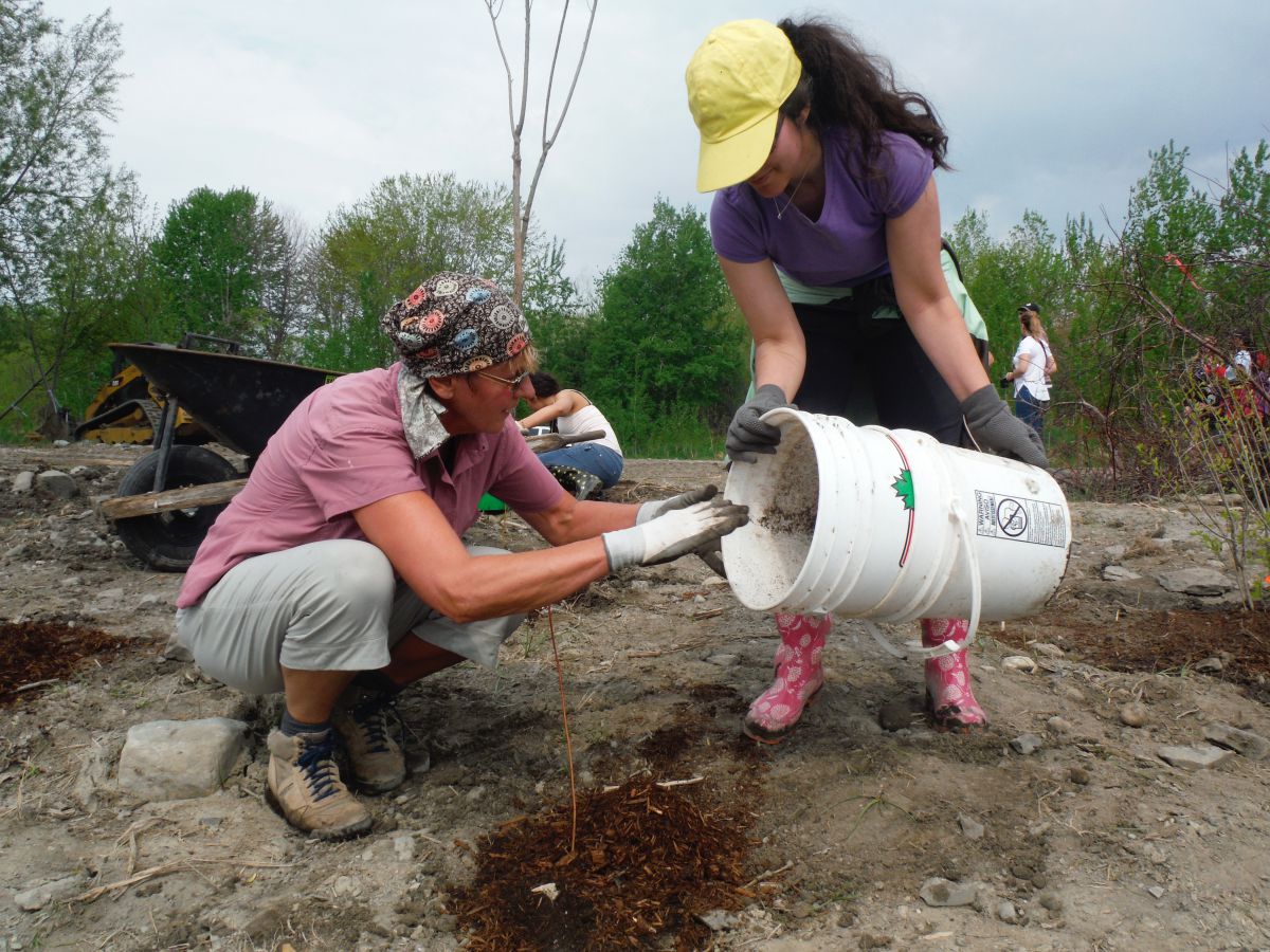
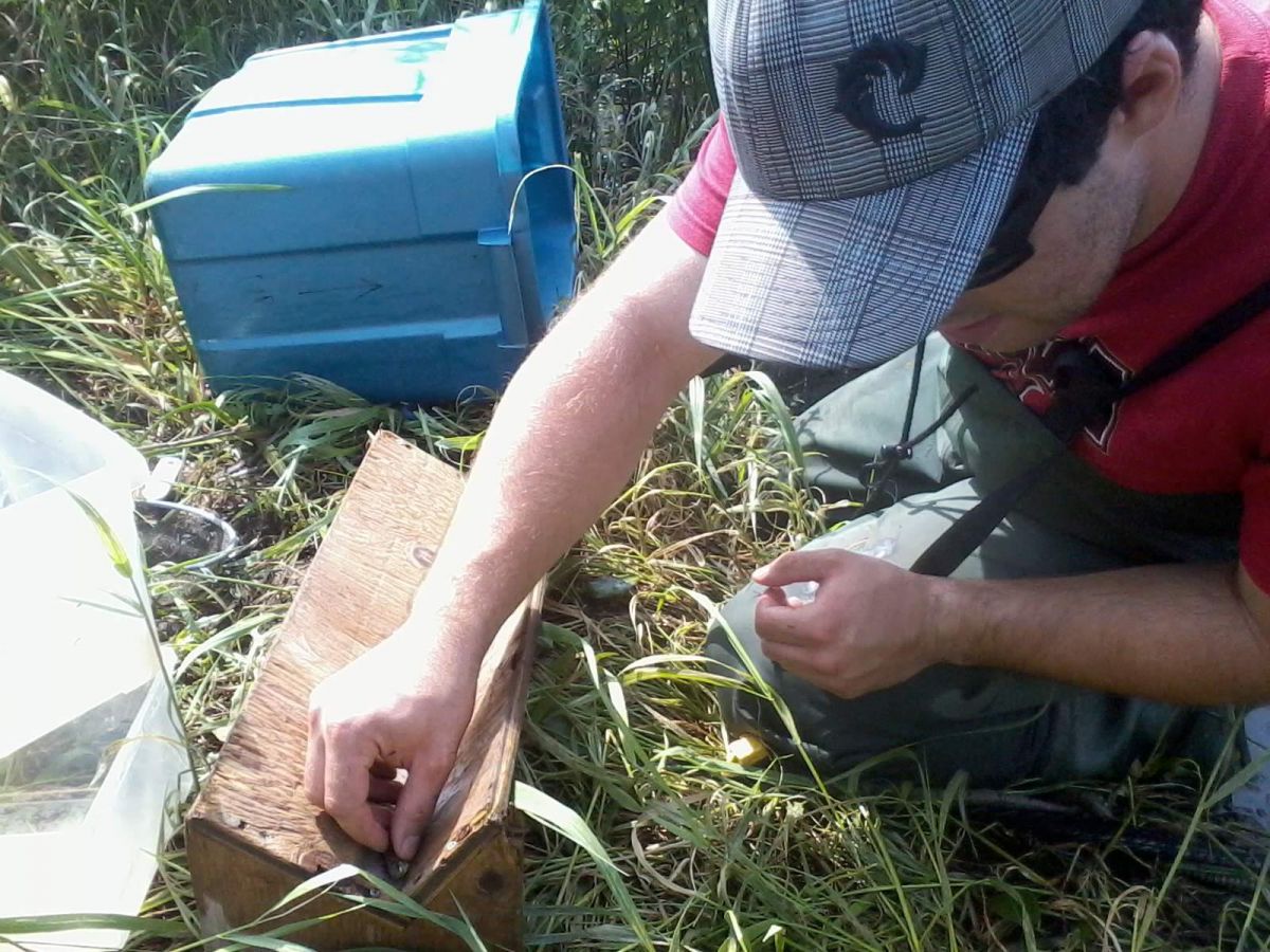
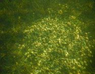
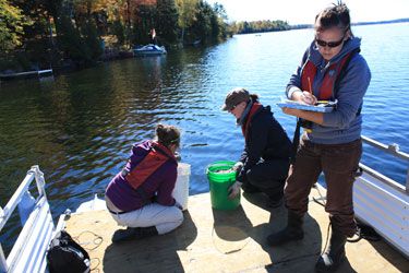
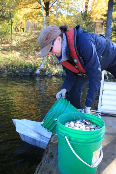
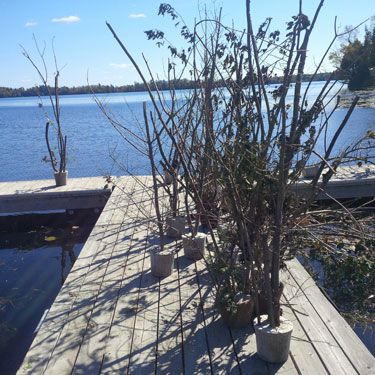
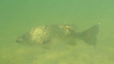
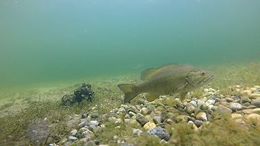
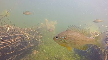
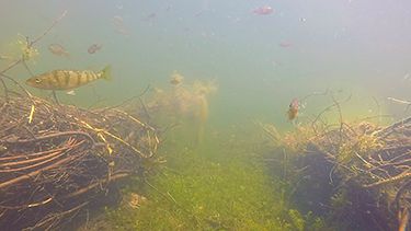
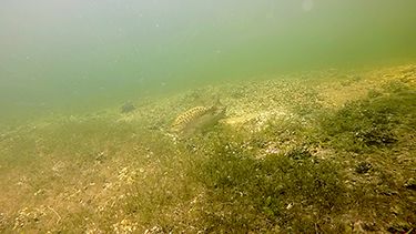
The Rideau Valley Conservation Authority in partnership with the Otty Lake Association collaborated to enhance fish habitat in Otty Lake — specifically spawning, nursery and feeding habitat for smallmouth and largemouth.
What was done?
Phase 1 (2013)
- Installed 75 gravel spawning beds a using round river wash stone
- Deposited wood branches and small trees anchored in cement as well as brush bundles — this wooded debris created habitat for many food sources such as crayfish and aquatic insects as well as places where fish can rest, find shelter and feed
Phase 2 (2014)
- Installed 83 spawning beds and sank 185 wooden clusters as shelter and feeding habitat
- Placed 58 large rocks (cornerstones) various nests providing additional cover for dedicated smallmouth bass fathers as they brood their young
Phase 3 (2015)
- 49 spawning beds, nine brush piles were placed in shallow weedy bays to provide more shelter and feeding habitat
- 75 cornerstone were placed at various nests which provides cover and shelter for the guarding male and fry
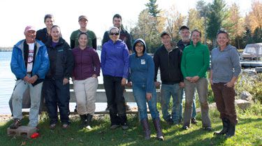
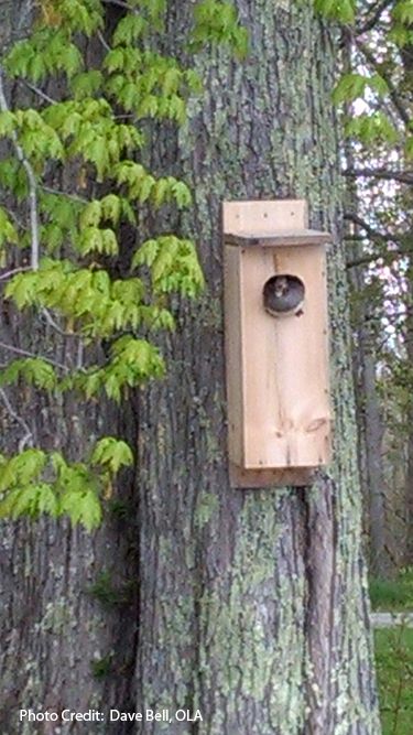
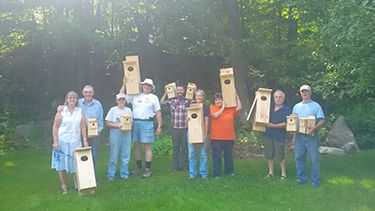
Through all three phases 228 bass nests were installed, 133 cornerstones added, 335 trees/branches and nine brush bundles placed in shallow areas. A total of 840 volunteer hours were accrued. In addition, 20 wood duck nesting boxes were installed.
Monitoring:
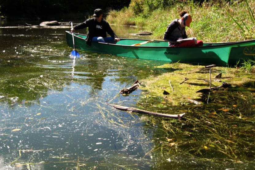
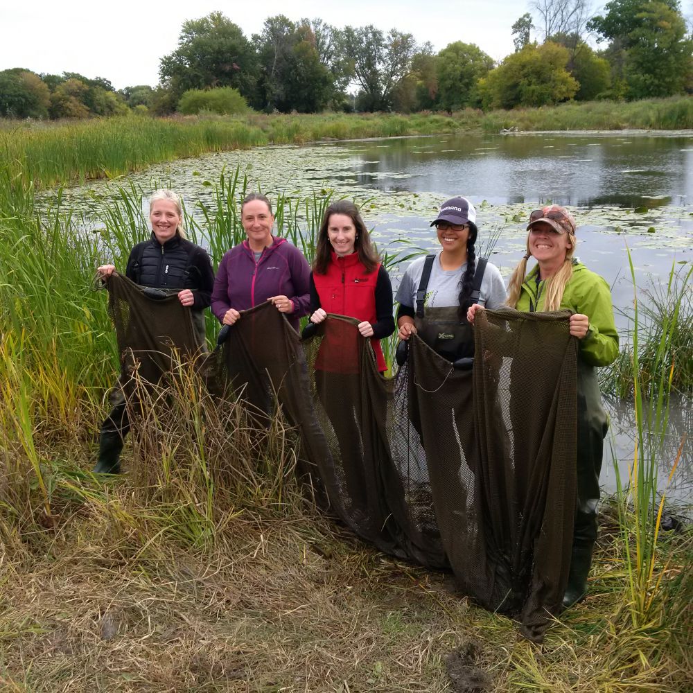
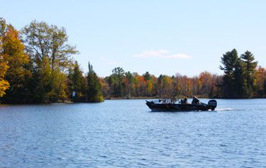
RVCA staff and volunteers monitored the success of the project with site visits in spring and summer. This entailed counting active nests, making observations on the integrity of the gravel and observing the wood structures using an underwater camera.
The Results:
successful/confirmed spawning on nests
2014 — 41%
2015 — 43%
2016 — 55%
2017 — 36%
2018 — 56%
2019 — 58.5%
Project Partners:


Information:
Jennifer Lamoureux
Aquatic and Fish Habitat Biologist,
Rideau Valley Conservation Authority
613-692-3571 ext. 1108
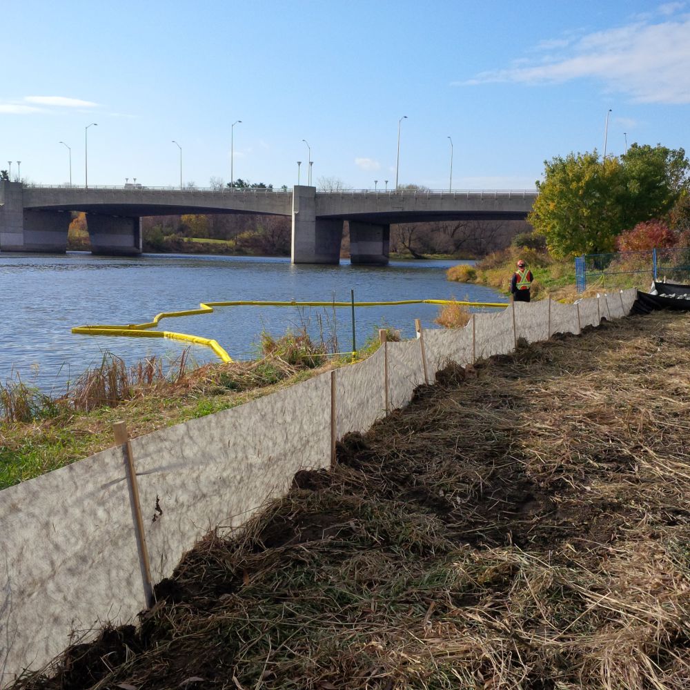
In September 2007, City of Ottawa Council approved a funding arrangement for a remedial flood control project in Britannia Village. The Britannia Village Flood Control Project looks to reduce expected property damages, public safety risks and inconvenience in this existing community during Ottawa River flood events up to and including the 1:100 year flood. The Rideau Valley Conservation Authority has agreed to undertake the design, construction and long-term management of the flood control system.
Construction began in the fall of 2015 and a Notice of Completion was circulated in February 2018.
Project Partners:

Information:
Terry K. Davidson, P. Eng.
Director Regulations,
Rideau Valley Conservation Authority
613-692-3571 ext. 1107
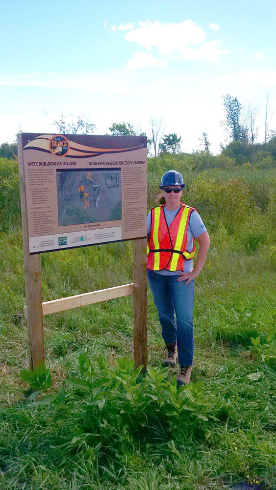
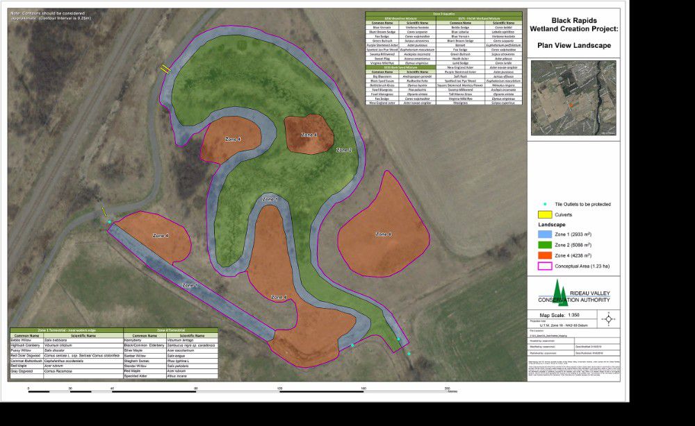
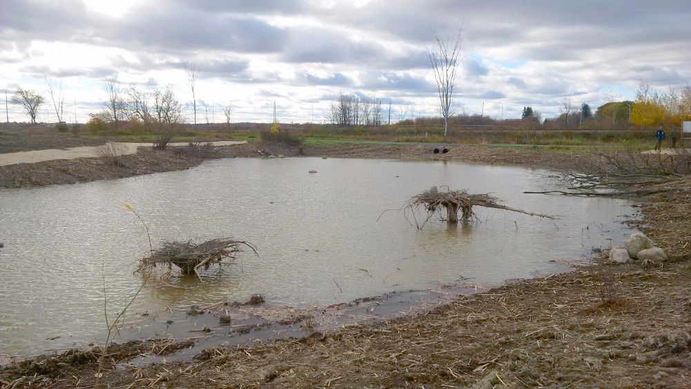
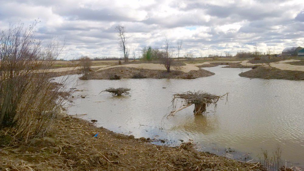
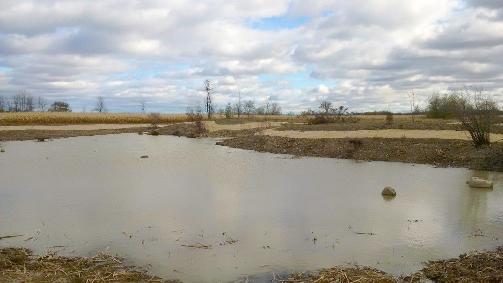
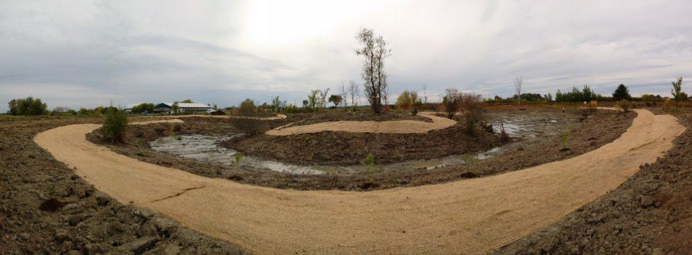
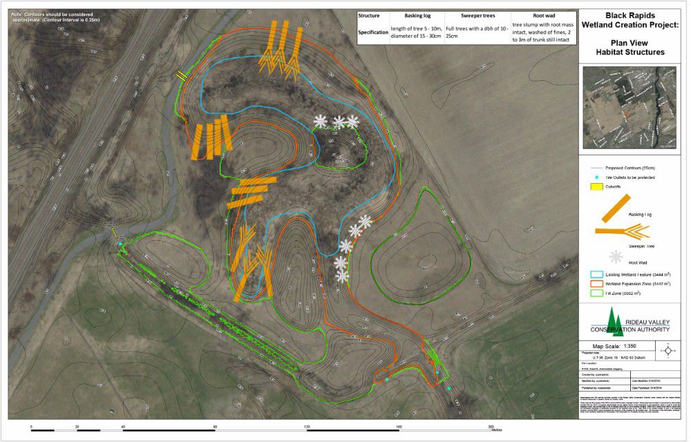
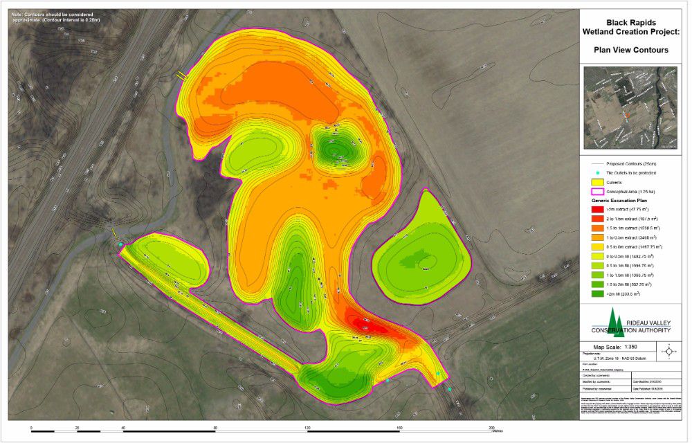
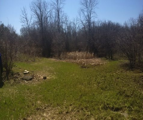
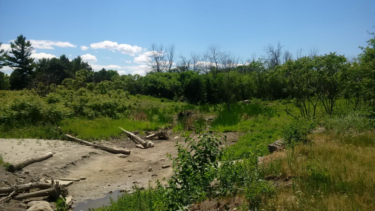
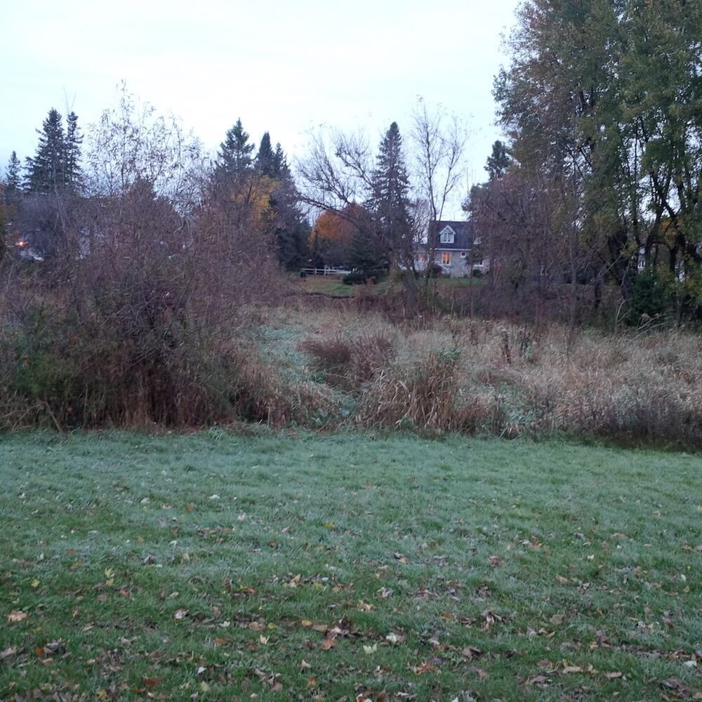
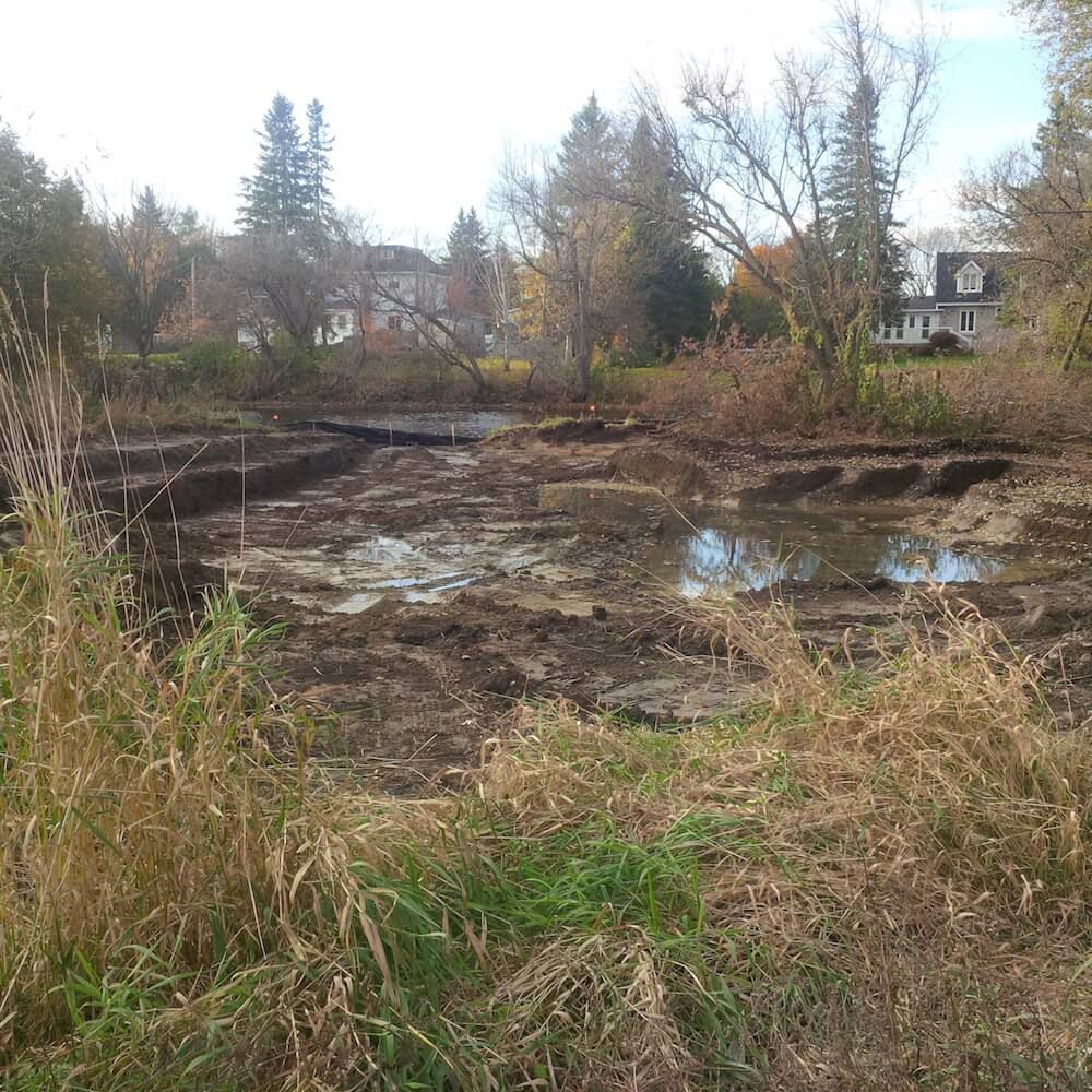
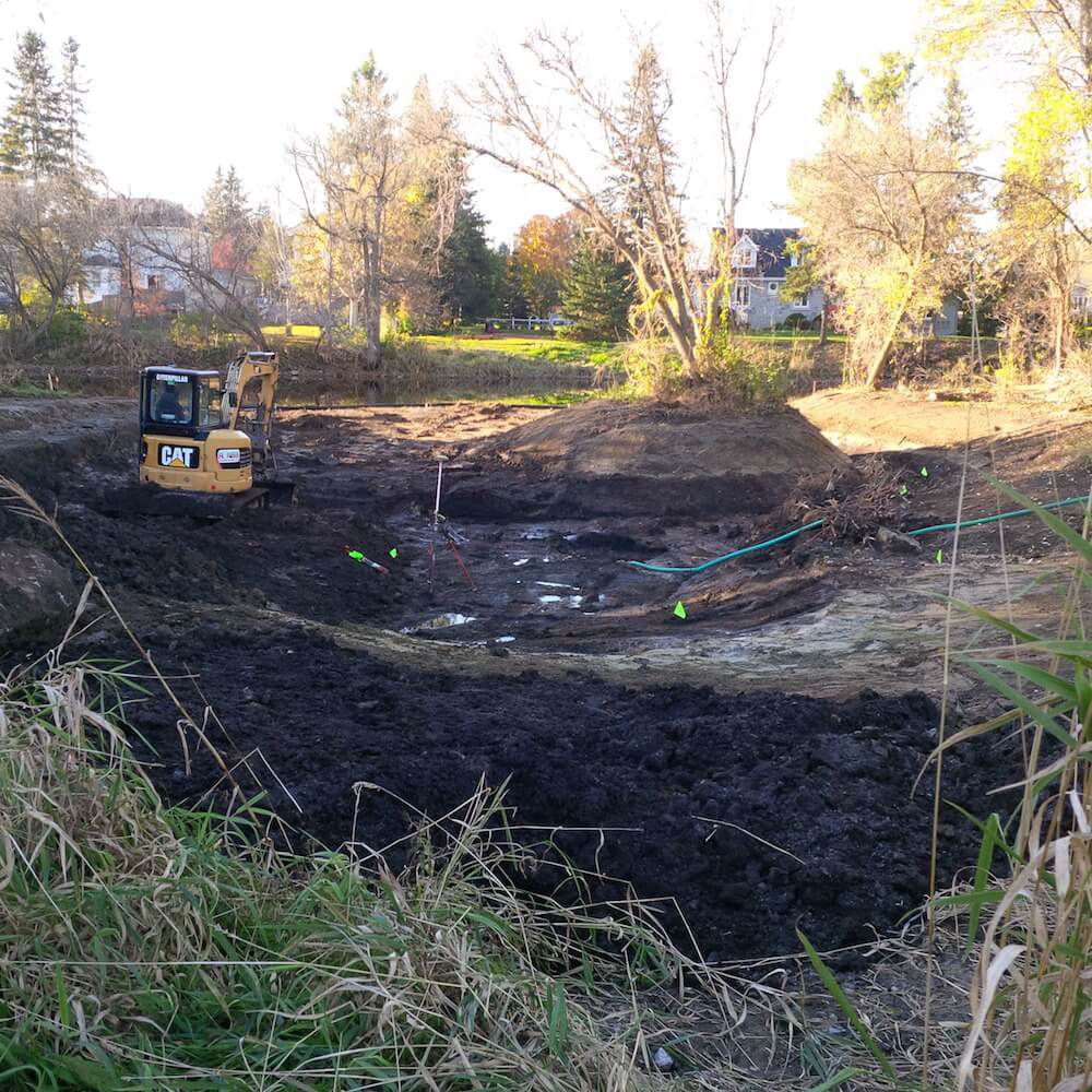
The Rideau Valley Conservation Authority in collaboration with NCC and the Great Lakes Guardian Community Fund have designed and enlarged the Black Creek wetland located in Ottawa’s Greenbelt. This enhanced wetland improves water quality, increases biodiversity and provides important wetland habitat in the headwaters of Black Rapids Creek.
The wetland has doubled in size from 3,444 square metres to almost 7,000 square metres. A tributary that had previously bypassed the wetland now flows into it providing a larger aquatic feature that supports amphibian breeding, fish habitat, bird foraging, and acts as a water supply for wildlife. The wetland now boasts a variety of side slopes, woody debris (i.e. root wads, basking logs and sweeper trees) and re-planting of native trees, shrubs and wetland vegetation. The project was completed in September 2016.
Staff returned to monitor the wetland in 2017 and 2019, and will return again in 2021.
BLOG: Restored Black Rapids wetland keeping Rideau River clean
Benefits of the project:
- Improves water quality for Black Rapids Creek and the Rideau River
- Increases biodiversity of aquatic/terrestrial plants and fish and wildlife
- Provides winter and summer refuge areas for wetland wildlife, including nursery area for waterfowl and area for shorebirds to feed
- Includes functional spawning, nursery, rearing and food supply habitat for fish allowing for wetland and
- Presents a unique habitat feature along the National Capital Commission Greenbelt Pathway allowing for wetland and habitat restoration activities
Construction Plans: