


(WCS – R05/2022)
March 23, 2022 – The current short-term weather forecast indicates mostly above zero temperatures until Sunday and possibly 30 – 50 mm of rain from Thursday to Saturday. Although much of the snow has already melted, some snow remains in the watershed, especially in the upper watershed areas.
The forecasted rain and on-going snowmelt are expected to keep water levels elevated and cause some flooding in all low-lying areas, especially those identified below. Parks Canada staff who manage the water levels for the Rideau Canal have indicated that water levels in upper watershed lakes will continue to rise as the snowpack melts.
Some specific areas of concern are highlighted below:
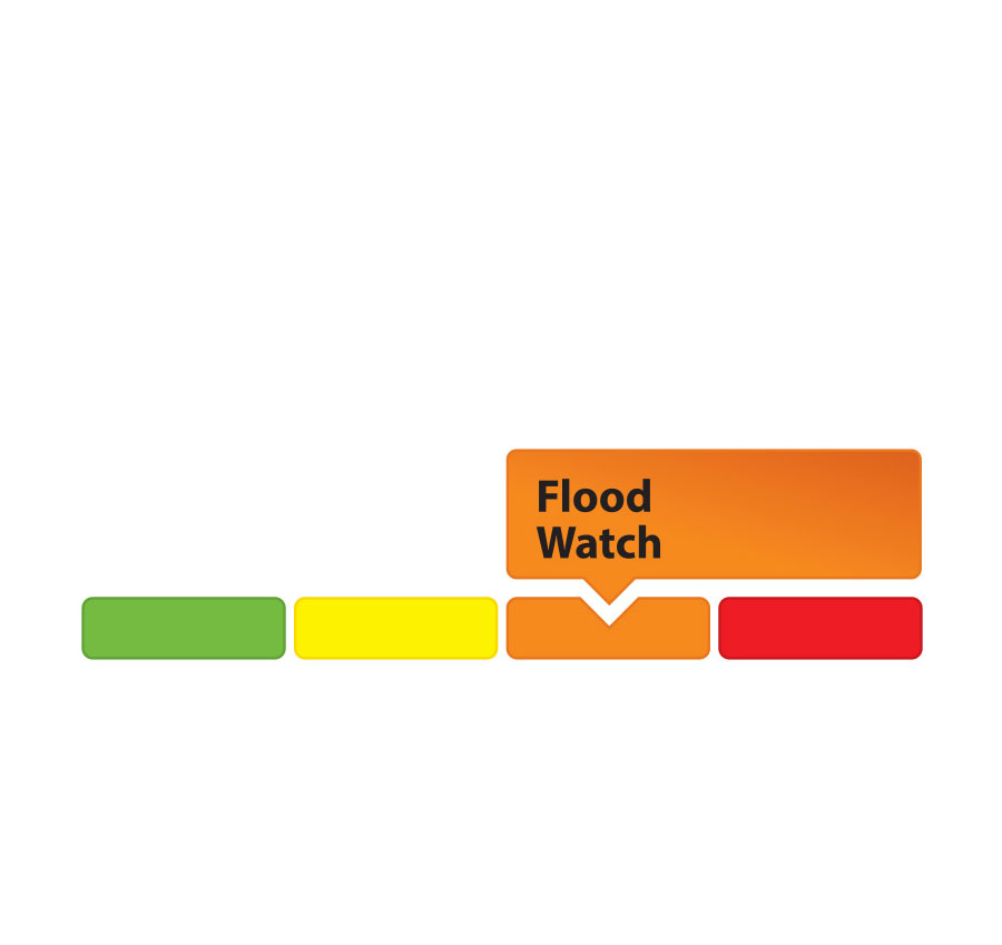
A FLOOD WATCH continues for all the low-lying areas along Stevens Creek and Taylor Drain in the Village of North Gower.
A FLOOD OUTLOOK continues for all the low-lying areas around the smaller creeks and streams in the Rideau Valley Watershed, including any connected creeks or ditches.
Extreme caution should be exercised by everyone when near local waterbodies. Parents should inform their children of the risks and provide appropriate supervision. Pets should be leashed near all bodies of water. Please contact your municipality if you see any ice jams that are causing localized flooding.
Residents in flood prone or low-lying areas, historically susceptible to flooding, should continue to take the necessary precautions to protect their property, such as:
- • Ensuring sump pump is clear, in good working condition and has a backwater valve
- • Ensuring easy access to a portable backup generator and pump
- • Ensuring downspouts are clear and the outlet is at least 3 metres from the dwelling
- • Securing items that might float away as flows increase
- • Removing valuable items from basements or lower floors that could be subject to flooding
- • Keeping emergency phone numbers handy
- • Familiarizing yourself with your municipality’s Emergency Preparedness Plan
This watershed conditions statement is in effect until March 31, 2022, at 5 p.m. and will be updated at that time unless the forecast or conditions change.
-end-
More Information:
Contact: Brian Stratton, RVCA Manager Engineering Services
Rideau Valley Conservation Authority
613-692-6804, 1-800-267-3504 ext. 1141
Rideau Valley Conservation Authority is a partnership of municipalities within the Rideau Valley watershed created under the Conservation Authorities Act to deliver a range of programs in watershed management and natural resource conservation.
RVCA Watershed Conditions Statements:
- Water Safety – High flows, unstable banks, melting ice or other factors that could be dangerous for recreational users such as anglers, canoeists, hikers, children, pets, etc. Flooding is not expected.
- Flood Outlook – Early notice of the potential for flooding based on weather forecasts, calling for heavy rain, snow melt, high winds or other conditions that could lead to high runoff, cause ice jams and/or lakeshore flooding or erosion.
- Flood Watch – Flooding is possible in specific watercourses or municipalities. Municipalities, emergency services and individuals in flood prone areas should prepare.
- Flood Warning – Flooding is imminent or already occurring in specific watercourses or municipalities.