What is lake planning?
Lake planning is the process of creating a long-term strategy to protect and manage a lake and its surrounding watershed.
It is usually led by lake associations or other water-based community groups, with input from municipalities, conservation authorities, residents, and other stakeholders working together to:
- Understand the current health of the lake
- Identify key issues (e.g. pollution, invasive species, shoreline development)
- Set goals and priorities (e.g. clean water, healthy fish habitat, safe recreation)
- Develop an action plan to guide lake use, protection, and restoration
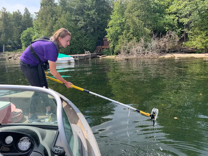
As a community driven document, public consultation with relevant stakeholders (residents, business, government agencies and NGO’s) on and around the lake is critical. This can be achieved through an outreach survey or community workshop. Lake plans should also be reviewed and updated periodically to capture evolving conditions and issues.
Thinking of starting a Lake Plan?
Contact us for assistance!
General inquiries:
Water Quality & Data Inquiries:
How RVCA can assist:
- Use RVCA’s geoportal to generate maps and explore data layers.
- Provide updated data including water quality results, landcover data, and more. Contact
This email address is being protected from spambots. You need JavaScript enabled to view it. for surface water quality inquiries. - You can find recent watershed reports on our webpage here.
- Provide information on available stewardship programs.
- Provide advice, plan review, and feedback on management goals.
- Provide access to a resource library containing various lake plans and State of the Lake Reports (SOLR) within our watershed.
This email address is being protected from spambots. You need JavaScript enabled to view it. .
Additional Resources:
- FOCA's Lake Planning Resources page includes the Lake Planning Handbook for Community Groups (FOCA membership required for access)
- Open data platforms offering geospatial, natural heritage, invasive species, fish inventories and species at risk inforrmation are also available:
- iNaturalist is a citizen science platform where people can record and share plant and wildlife observations.
- Early Detection & Distribution Mapping System (EddMapps) is an international platform for reporting and mapping invasive species.
- Natural Heritage Information Centre (NHIC)is a provincial mapping and data tool for collecting, maintaining and sharing information on natural heritage information like rare species, significant natural areas, and habitat.
- Ontario GeoHub is a provincial geospatial data portal that includes Fish ON-line which includes informationon fish species, stocking, regulations, and lake-specific fishing details.
- North American Lake Management Society (NALMS) offers guidance for developing a Lake Management Plan.
- If your lake is part of the Rideau Canal System, Parks Canada Rideau Canal Office has additional information on water level management.