The current forecast is calling for rainfall amounts of 50 to 65 mm, with possibly more, from Thursday to Saturday across the Rideau Valley Watershed which will cause water levels and flows to increase above current conditions throughout the watershed. Flood conditions are expected start on Friday or Saturday in many areas depending on where the rainfall occurs and total amounts received. Some specific areas of concern are highlighted below.
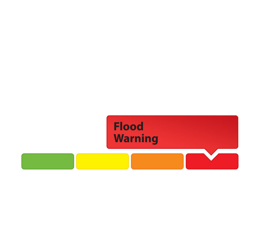
A FLOOD WARNING is being issued for the following areas:
- Properties around Bob’s Lake, Christie Lake and Tay River in the upper Rideau Valley Watershed. In these areas, the water levels are close to flood levels. Parks Canada staff are closely monitoring the water levels in Bobs Lake and Christie Lake, and operations at the Bolingbroke Dam will take place as required, to balance the levels in Bobs Lake and Christie Lake.
- Properties around Wolfe Lake in the upper Rideau Valley Watershed.
- Properties around the smaller creeks and streams in the lower Rideau Valley Watershed, including the low-lying roads and waterfront properties adjacent to the Jock River (near Richmond) and Stevens Creek (near North Gower), and any connected creeks or ditches.
- Properties around the Long Reach (Burritts Rapids to Kars) of the Rideau River. In particular, access to Hilly Lane, Cedar Beach, Rideau Glen and other neighourhoods on that reach of the river can be expected to be compromised.
A FLOOD WATCH is being issued for the following areas:
- Properties around Big Rideau Lake
- Properties along the Rideau River from Smiths Falls through Burritts Rapids
- Streets and parkland along the Rideau River on Belmont Avenue, on Rideau River Drive at Belmont Avenue, Windsor Park and Brantwood Park
Extreme caution should be exercised by everyone when near local waterbodies. Parents should inform their children of the risks and provide appropriate supervision.
Residents in flood prone or low-lying areas, historically susceptible to flooding, should continue to take the necessary precautions to protect their property, such as:
- Ensuring sump pump is clear, in good working condition and has a backwater valve
- Ensuring easy access to a portable backup generator and pump
- Ensuring downspouts are clear and the outlet is at least 3 metres from the dwelling
- Securing items that might float away as flows increase
- Removing valuable items from basements or lower floors that could be subject to flooding
- Keeping emergency phone numbers handy
- Familiarizing yourself with your municipality’s Emergency Preparedness Plan
This watershed conditions statement is in effect until Tuesday April 23, 2019 and will be updated at that time unless the forecast or conditions change.
-end-
More Information:
Contact: Ferdous Ahmed, Senior Water Resources EngineerRideau Valley Conservation Authority
613-692-3571, 1-800-267-3504 ext. 1170 or cell 613-799-9423
Media Enquiries:
Contact: Diane Downey, RVCA Director of Communications and Outreach
Rideau Valley Conservation Authority
613-692-3571, 1-800-267-3504 ext. 1126 or cell 613-698-9453
"Rideau Valley Conservation Authority is a partnership of municipalities within the Rideau Valley watershed created under the Conservation Authorities Act to deliver a range of programs in watershed management and natural resource conservation."
RVCA Watershed Conditions Statements:
- Water Safety – High flows, unstable banks, melting ice or other factors that could be dangerous for recreational users such as anglers, canoeists, hikers, children, pets, etc. Flooding is not expected.
- Flood Outlook – Early notice of the potential for flooding based on weather forecasts, calling for heavy rain, snow melt, high winds or other conditions that could lead to high runoff, cause ice jams and/or lakeshore flooding or erosion.
- Flood Watch – Flooding is possible in specific watercourses or municipalities. Municipalities, emergency services and individuals in flood-prone areas should prepare.
- Flood Warning – Flooding is imminent or already occurring in area watercourses.