APRIL 19, 2019 OTTAWA RIVER FROM ARNPRIOR TO L'ORIGINAL —
The Rideau Valley Conservation Authority (RVCA), in conjunction with the Mississippi Valley Conservation Authority (MVCA) and South Nation Conservation Authorities (SNC) is issuing a FLOOD WARNING for the areas under our jurisdiction along the Ottawa River.
Significant rainfall (20 to 40 mm) has fallen over the Ottawa River basin since Thursday and an additional 20 to 35 mm of rain is expected by Saturday evening.
The current snowpack throughout much of the Ottawa River basin remains at twice its normal depth for this time of the year. Soils are saturated and warm temperatures and rain are contributing to some snow melt.
The Ottawa River Regulating Committee (ORRC) warns that levels and flows on the Ottawa River from Lac Coulonge down to the Montreal region have begun to rise extremely rapidly due to forecast rainfall and snowmelt runoff. Flooding is already occurring in low lying areas around Britannia and Thurso and is expected to continue to rise throughout the weekend.
Forecasted precipitation and warmer temperatures will melt a large portion of the remaining snowpack in the central areas of the basin. Rainfall and snowmelt will combine to produce very high runoff, causing levels to continue rise sharply on the Ottawa River throughout the weekend.
All flood-prone areas along the Ottawa River from Lac Coulonge down to the Montreal Archipelago are at risk.
MVCA areas of concern: Based on model outputs from the ORRC, water levels in the Constance Bay area are projected to rise .75 m above the current elevation over the next four days. Updates to this projection will be provided as they become available.
RVCA areas of concern: Water levels from Britannia to Cumberland are expected to continue to rise and are forecasted to peak in the next four days. Areas previously affected by the May 2017 flood are at greatest risk.
SNC areas of concern: Water levels are expected to continue to rise along the Ottawa River in Clarence-Rockland and Alfred-Plantagenet and are projected to rise 1.0 m above the current elevation over the next 4 days, by April 23. Areas previously affected by the May 2017 flood are at greatest risk.
Due to the forecast uncertainty it is difficult to accurately predict how quickly water levels will rise and when river conditions may peak.
Residents in flood-prone areas are encouraged to closely follow evolving conditions and to take necessary measures. Residents are advised to stay away from watercourses where flows are high and where banks might be unstable. Parents are encouraged to explain these dangers to their children.
This FLOOD WARNING is in effect until Sunday, April 21, 2019.
Rideau Valley Conservation Authority (RVCA) and its Ottawa partners, Mississippi Valley Conservation Authority and South Nation Conservation monitor the water levels and weather forecasts with the Ministry of Natural Resources and Forestry as part of the Flood Forecasting and Warning Program. Updates are provided as conditions change.
The Ottawa River Regulation Planning Board will be reassessing forecast conditions and providing hydrological condition updates on its website daily at www.ottawariver.ca/forecast.php.
-end-
"Rideau Valley Conservation Authority is a partnership of municipalities within the Rideau Valley watershed created under the Conservation Authorities Act to deliver a range of programs in watershed management and natural resource conservation."
RVCA Watershed Conditions Statements:
- Water Safety – High flows, unstable banks, melting ice or other factors that could be dangerous for recreational users such as anglers, canoeists, hikers, children, pets, etc. Flooding is not expected.
- Flood Outlook – Early notice of the potential for flooding based on weather forecasts, calling for heavy rain, snow melt, high winds or other conditions that could lead to high runoff, cause ice jams and/or lakeshore flooding or erosion.
- Flood Watch – Flooding is possible in specific watercourses or municipalities. Municipalities, emergency services and individuals in flood-prone areas should prepare.
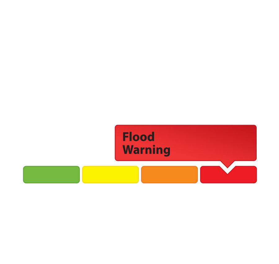
- Flood Warning – Flooding is imminent or already occurring in area watercourses.