(WCS - 07/2023)
April 11, 2023 – The previous Flood Warning and Flood Watch messages issued on April 6th and 8th, 2023 are being updated to reflect current conditions. Rainfall amounts between 40 and 70 mm fell across the Rideau Valley Watershed on April 5, 2023, resulting in increased water levels and flows across the watershed which caused flood conditions in many low-lying areas adjacent to several rivers, lakes, creeks and ditches. Since that time, water levels have peaked and are receding in most areas, except those areas discussed below.
The short-term weather forecast indicates no precipitation for the next four days. Temperatures are forecasted to remain above zero each day with high temperatures in the double digits. Although mostly melted, some snow remains within the City of Ottawa and the Tay River watershed. The remaining snow is expected to melt over next few days, and will have minimal impact on water levels, except for those areas discussed below.
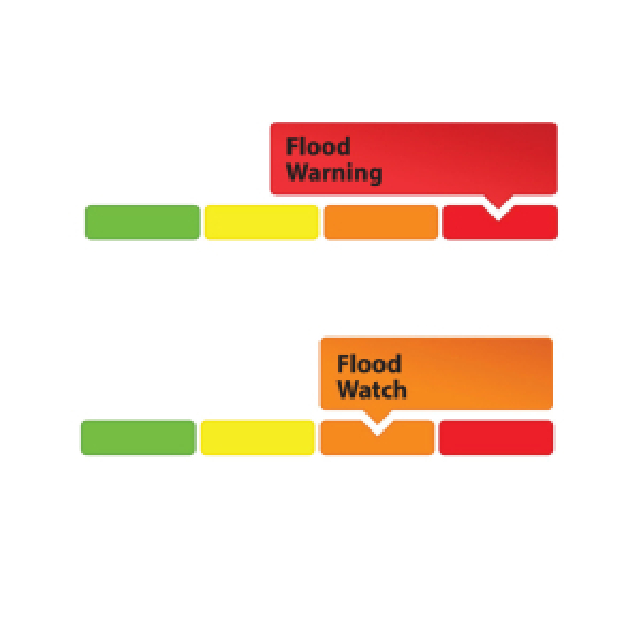
A FLOOD WARNING remains for the following areas:
- Properties around Bob’s Lake, Christie Lake in the Tay River Watershed. Parks Canada staff are closely monitoring the water levels in Bobs Lake and Christie Lake, and operations at the Bolingbroke Dam will take place as required, to balance the levels in Bobs Lake and Christie Lake.
The FLOOD WARNING previously issued for the areas below has been TERMINATED:
- Properties around the smaller creeks and streams in the lower Rideau Valley Watershed, including the low-lying roads and waterfront properties adjacent to Stevens Creek (near North Gower), and any connected creeks or ditches.
- The Rideau River between Becketts Landing and Manotick, including Kemptville Creek.
A FLOOD WATCH remains for the following areas:
- Properties around Big Rideau Lake
With the elevated conditions, the potential exists for further impacts if significant additional rain were to occur across the watershed.
Due to the presence of ice cover on the lakes mentioned above and the anticipated water level increases, there is a concern for shoreline damage due to large pieces of ice becoming mobile.
With changing water levels expected over the coming days, ice cover on lakes, ditches, local streams and rivers will continue to be unstable. Extreme caution should be exercised when near local waterbodies. Parents should inform their children of the risks and provide appropriate supervision.
As temperatures continue to rise, the potential for ice jams remains high in some local streams and rivers, as flows could quickly increase before the ice can melt. Residents are advised to monitor their local river closely for signs of ice jams as spring progresses. RVCA staff will be monitoring conditions but we always welcome unique observations from watershed residents.
Flooding along roadways is also a concern due to current snow/ice buildup on roadside ditches.
Residents in flood-prone or low-lying areas that are historically susceptible to flooding should take the necessary precautions to protect their property, such as:
- Ensuring sump pump is clear, in good working condition and has a backwater valve
- Ensuring easy access to a portable backup generator and pump
- Ensuring downspouts are clear and the outlet is at least 3 metres from the dwelling
- Securing items that might float away as flows increase
- Removing valuable items from basements or lower floors that could be subject to flooding
- Keeping emergency phone numbers handy
- Familiarizing yourself with your municipality’s Emergency Preparedness Plan
This watershed conditions statement is in effect until Tuesday, April 18, 2023 and may be updated at that time unless the forecast or conditions change.
- end -
More Information:
Contact: Brian Stratton, RVCA Manager Engineering Services
Rideau Valley Conservation Authority
613-692-6804, 1-800-267-3504 ext. 1141
www.rvca.ca/watershed-conditions
"Rideau Valley Conservation Authority is a partnership of municipalities within the Rideau Valley watershed
created under the Conservation Authorities Act to deliver a range of programs in watershed management and
natural resource conservation."
RVCA Watershed Conditions Statements:
- Water Safety – High flows, unstable banks, melting ice or other factors that could be dangerous for recreational users such as anglers, canoeists, hikers, children, pets, etc. Flooding is not expected.
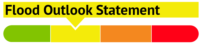
- Flood Outlook – Early notice of the potential for flooding based on weather forecasts, calling for heavy rain, snow melt, high winds or other conditions that could lead to high runoff, cause ice jams and/or lakeshore flooding or erosion.
- Flood Watch – Flooding is possible in specific watercourses or municipalities. Municipalities, emergency services and individuals in flood prone areas should prepare.
- Flood Warning – Flooding is imminent or already occurring in specific watercourses or municipalities.