(WCS – R01/2023)
January 12, 2023 – After gaining and losing a large amount of snow over the holiday season, the short-term forecast is calling for between 15 and 30 cm of snow starting Thursday, Jan. 12 through late Friday, Jan. 13.
Elevated water levels/flows are now declining across most of the watershed after above-average temperatures and precipitation caused a spike at the end of December and early January. But water levels in the upper watershed reservoir lakes, specifically Bobs and Christie Lake, are above average and continue to increase. The conditions are being monitored closely by Parks Canada staff.
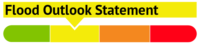
A FLOOD OUTLOOK is now in effect for Christie Lake as the water levels are expected to remain high and may increase over the next month or so depending on the weather conditions. Residents on Christie Lake are advised to keep a close watch on water levels and should take the necessary precautions to protect their property, such as:
- Ensuring sump pump is clear, in good working condition and has a backwater valve
- Ensuring easy access to a portable backup generator and pump
- Ensuring downspouts are clear and the outlet is at least 3 metres from the dwelling
- Securing items that might float away as flows increase
- Removing valuable items from basements or lower floors that could be subject to flooding
- Keeping emergency phone numbers handy
- Familiarizing yourself with your municipality’s Emergency Preparedness Plan
Extreme caution should be exercised by everyone when near local waterbodies. Parents should inform their children of the risks and provide appropriate supervision. Pets should be leashed near all bodies of water.
Because of the above normal water level/flows across the watershed, localized ice jams and/or frazil ice formation may occur in areas of open water which can cause localized flooding.
This watershed conditions statement is in effect until Wednesday, February 1, 2023 at 5 PM or until an update has been issued.
-end-
"Rideau Valley Conservation Authority is a partnership of municipalities within the Rideau Valley watershed created under the Conservation Authorities Act to deliver a range of programs in watershed management and natural resource conservation."
RVCA Watershed Conditions Statements:
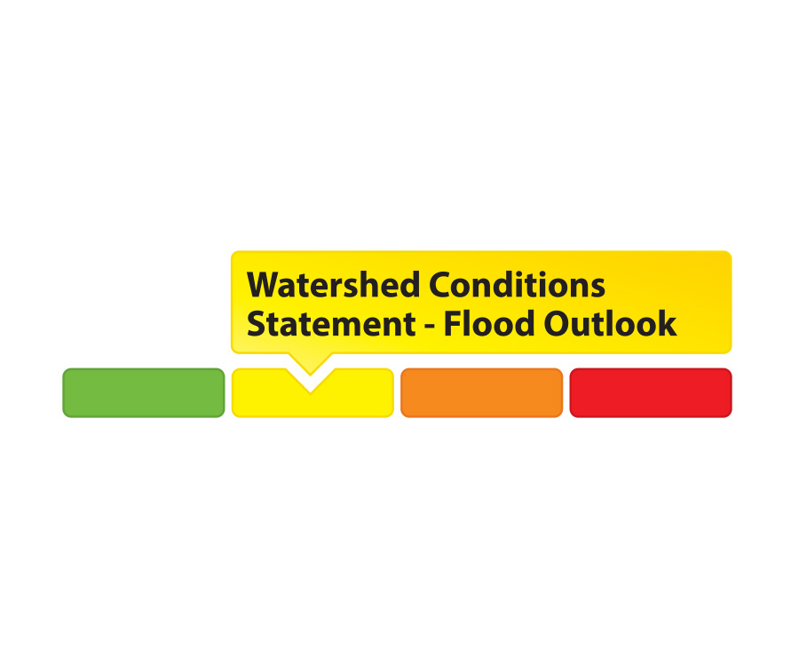
- Water Safety – High flows, unstable banks, melting ice or other factors that could be dangerous for recreational users such as anglers, canoeists, hikers, children, pets, etc. Flooding is not expected.
- Flood Outlook – Early notice of the potential for flooding based on weather forecasts, calling for heavy rain, snow melt, high winds or other conditions that could lead to high runoff, cause ice jams and/or lakeshore flooding or erosion.
- Flood Watch – Flooding is possible in specific watercourses or municipalities. Municipalities, emergency services and individuals in flood prone areas should prepare.
- Flood Warning – Flooding is imminent or already occurring in specific watercourses or municipalities.