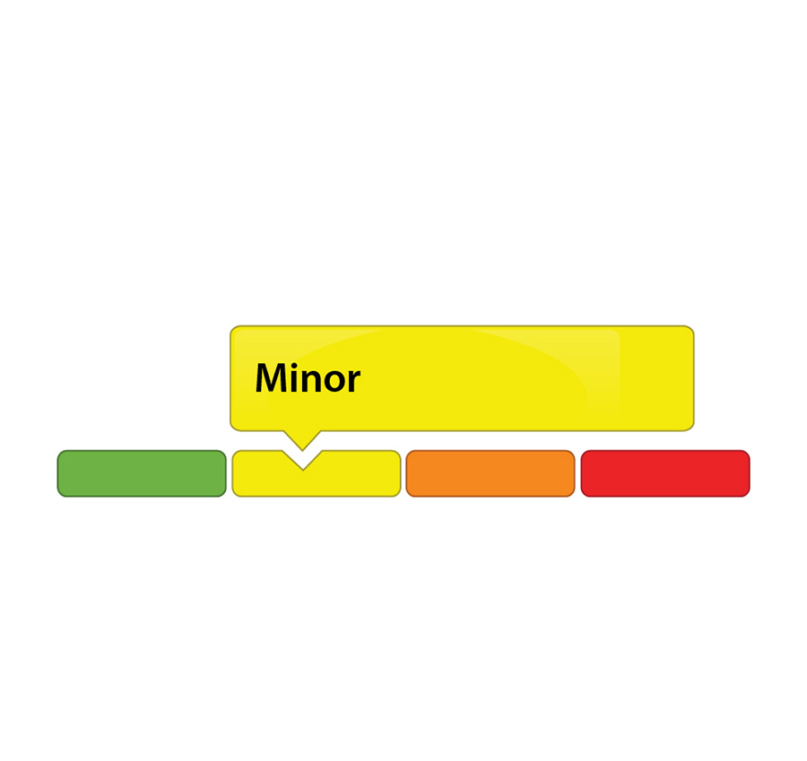
(WCS-LW - 3/2021) August 10, 2021 – Despite recent rain, the Rideau Valley Water Response Team is maintaining a MINOR low water status for the Rideau River watershed after officials met to discuss conditions on Tuesday, August 10.
Watershed residents and businesses are encouraged to continue to voluntarily reduce their water usage by 10 percent. This is especially important for those who have permits for taking water from surface or groundwater sources and all residents on private, communal or municipal wells. There is less of a concern for residents of urban Ottawa because the City of Ottawa central drinking water system draws from the Ottawa River.
With variable rainfall amounts across the watershed over the last month, the 30-day and 90-day rainfall totals are above what is normal for the time of year at some of the climate monitoring sites in the watershed. However, because of the variability seen in local rainfall amounts, the Rideau Valley Water Response Team decided to maintain a minor low water severity. Streamflow values for the large waterways (i.e., Rideau River and Tay River) are near their normal values for this time of year but stream flow values are well below normal for the smaller waterways (i.e., Jock River and Kemptville Creek). Field observations around the watershed indicate that ecological conditions have improved over the last month.
Looking ahead, the seven-day weather forecast suggests we may receive between 10 and 15 mm of rain across the watershed. These rainfall amounts are not expected to greatly improve the low water conditions discussed above.
Following an early spring freshet this year, Parks Canada staff are closely monitoring the water levels throughout the Rideau Canal system inside the Rideau Valley watershed. The water levels in the reservoir lakes (Bob’s Lake and Wolfe Lake) are currently near normal and are expected to stabilize with some precipitation in the short-term forecast. The water level in Christie Lake (flow-through lake), while expected to remain below normal, will fluctuate with some precipitation in the short-term forecast. Rideau River flows downstream of Big Rideau Lake have been reduced to minimum. Water levels in the Rideau River below Smiths Falls are within navigable ranges.
To better understand local conditions, landowners, businesses, and industries are encouraged to contact Brian Stratton by email () if they are experiencing any unusual water-related problems.
Conservation Authority staff continue to monitor conditions and communicate with water managers throughout the watershed. Updates to this message will be issued as conditions warrant.
More resources:
Ministry of Environment, Conservation and Parks: https://www.ontario.ca/page/managing-your-water-well-times-water-shortage
Ontario’s Low Water Response program: https://www.ontario.ca/page/low-water-response-program.
RVCA website: www.rvca.ca
Hourly and daily streamflows and water levels: https://www.rvca.ca/watershed-monitoring-reporting/reporting/streamflow-water-levels.
-end-
More Information:
Contact: Brian Stratton, RVCA Manager Engineering Services
Rideau Valley Conservation Authority
1-800-267-3504 ext. 1141
Rideau Valley Conservation Authority is a partnership of municipalities within the Rideau Valley watershed
created under the Conservation Authorities Act to deliver a range of programs in watershed management and
natural resource conservation.