(WCS – R04/2020)
March 19 ,2020 – The short-term forecast is calling for rainfall amounts of 10 to 15 mm and high temperatures near 15 degrees Celsius on Friday, followed by below zero temperatures on Saturday, and then milder temperatures in the days following. No significant rain is in the short-term forecast after Friday. With Friday’s rain and high temperatures, water levels and flows across the Rideau Valley Watershed are expected to increase everywhere and then decline again slowly with the cooler weather in the following days.
Some specific areas of concern are highlighted below:
A FLOOD OUTLOOK is being issued for the following areas:
- Properties around Bob’s Lake, Christie Lake and Tay River in the upper Rideau Valley Watershed. In these areas, local residents should expect spring like water levels and flows. Parks Canada staff are closely monitoring the water levels in Bobs Lake and Christie Lake, and operations at the Bolingbroke Dam will take place as required, to balance the levels in Bobs Lake and Christie Lake.
- Properties around Wolfe Lake in the upper Rideau Valley Watershed.
- Properties around the smaller creeks and streams in the lower Rideau Valley Watershed, including the low-lying roads and waterfront properties adjacent to the Jock River (near Richmond)
- and any connected creeks or ditches.
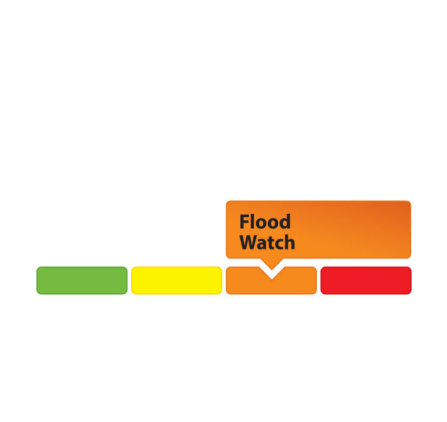
A FLOOD WATCH continues for the low-lying areas along Stevens Creek and Taylor Drain in the Village of North Gower; however, water levels are expected to be somewhat similar or possibly less than those that have already been seen this spring.
Extreme caution should be exercised by everyone when near local waterbodies. Parents should inform their children of the risks and provide appropriate supervision.
Residents in flood prone or low-lying areas, historically susceptible to flooding, should continue to take the necessary precautions to protect their property, such as:
- Ensuring sump pump is clear, in good working condition and has a backwater valve
- Ensuring easy access to a portable backup generator and pump
- Ensuring downspouts are clear and the outlet is at least 3 metres from the dwelling
- Securing items that might float away as flows increase
- Removing valuable items from basements or lower floors that could be subject to flooding
- Keeping emergency phone numbers handy
- Familiarizing yourself with your municipality’s Emergency Preparedness Plan
This watershed conditions statement is in effect until April 2, 2020, at 5 p.m. and will be updated at that time unless the forecast or conditions change.
"Rideau Valley Conservation Authority is a partnership of municipalities within the Rideau Valley watershed created under the Conservation Authorities Act to deliver a range of programs in watershed management and natural resource conservation."
RVCA Watershed Conditions Statements:
- Water Safety – High flows, unstable banks, melting ice or other factors that could be dangerous for recreational users such as anglers, canoeists, hikers, children, pets, etc. Flooding is not expected.
- Flood Outlook – Early notice of the potential for flooding based on weather forecasts, calling for heavy rain, snow melt, high winds or other conditions that could lead to high runoff, cause ice jams and/or lakeshore flooding or erosion.
- Flood Watch – Flooding is possible in specific watercourses or municipalities. Municipalities, emergency services and individuals in flood prone areas should prepare.
- Flood Warning – Flooding is imminent or already occurring in specific watercourses or municipalities.