January 14, 2020 – With high water levels and fast flows all across the Rideau Valley Watershed, the ice cover (where present) on lakes, ditches, local streams and rivers will be unstable. Extreme caution should be exercised by everyone when near local waterbodies. Parents should inform their children of the risks and provide appropriate supervision.
On average, 50mm of rain fell across the Rideau Valley Watershed last Saturday before the temperature dropped to below freezing, resulting in significantly elevated water levels and flows in all waterways. The smaller creeks and waterways were impacted the most with ‘bankfull’ conditions observed in some areas, although the water levels are now stable or receding.
Although the flow in the Rideau River, our largest river, peaked at four times its average flow for this time of year at the Carleton University gauge, the flow increase did not result in any observed ‘bankfull’ conditions along the river. With the exception of tomorrow, the weather forecast is indicating below zero temperatures for the next several days so water levels and flows are expected to decline.
Please note that the RVCA does not monitor ice conditions. The RVCA’s Flood Forecasting and Warning team will continue monitoring weather, snowpack, water level and flow conditions and issue updates as required.
This watershed conditions statement is in effect until Monday January 20, 2020 at 5 PM or until an update has been issued.
"Rideau Valley Conservation Authority is a partnership of municipalities within the Rideau Valley watershed created under the Conservation Authorities Act to deliver a range of programs in watershed management and natural resource conservation."
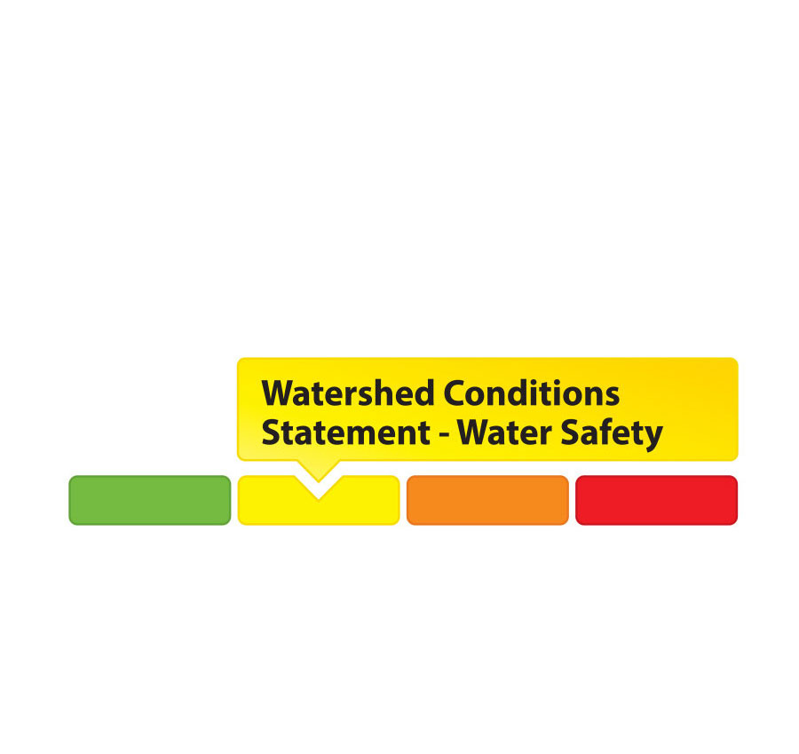
RVCA Watershed Conditions Statements:
- Water Safety – High flows, unstable banks, melting ice or other factors that could be dangerous for recreational users such as anglers, canoeists, hikers, children, pets, etc. Flooding is not expected.
- Flood Outlook – Early notice of the potential for flooding based on weather forecasts, calling for heavy rain, snow melt, high winds or other conditions that could lead to high runoff, cause ice jams and/or lakeshore flooding or erosion.
- Flood Watch – Flooding is possible in specific watercourses or municipalities. Municipalities, emergency services and individuals in flood prone areas should prepare.
- Flood Warning – Flooding is imminent or already occurring in specific watercourses or municipalities.