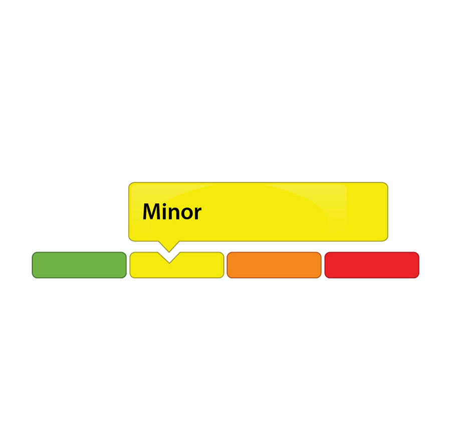
(WCS-LW - 4/2021) Sept. 8, 2021 —The Rideau Valley Water Response Team is maintaining a MINOR low water status for the Rideau River watershed after officials met to discuss conditions on Wed. Sept. 8. This low water status is a result of a warm and dry August. The August Weather Summary prepared by Environment and Climate Change Canada indicates that the average temperature at the Ottawa Airport was 2.4 °Celcius above normal and the monthly precipitation total was 57 percent of normal.
Watershed residents and businesses are encouraged to voluntarily reduce their water usage by 10 percent. This is especially important for those who have water-taking permits from surface or groundwater sources, as well as residents on private, communal, or municipal wells. There is less of a concern for residents of urban Ottawa because the City of Ottawa central drinking water system draws from the Ottawa River.
Because of minimal rainfall and warmer than average temperatures in August, the Rideau Valley Water Response Team decided to maintain a “Minor” low water severity. Stream flow values for the large waterways (i.e., Rideau River and Tay River) are at about 90 percent of their normal values for this time of year but stream flow values are well below normal for the smaller waterways (i.e., Jock River and Kemptville Creek). Field observations around the watershed indicate that ecological conditions are being impacted with increased fragmentation, extensive vegetation growth, low oxygen levels and algae growth in many streams. Looking ahead, the seven-day weather forecast suggests some but limited rain across the watershed.
Following an early spring freshet this year, Parks Canada staff are closely monitoring the water levels throughout the Rideau Canal system inside the Rideau Valley watershed. The water level in Bobs Lake (reservoir lake) is currently below normal and slowly declining. The water level in Christie Lake (flow-through lake) is also below normal and declining. Rideau River flows downstream of Big Rideau Lake remain at minimum. Water levels in the Rideau River below Smiths Falls are within navigable ranges.
To better understand local conditions, landowners, businesses, and industries are encouraged to contact Brian Stratton by email () if they are experiencing any unusual water-related problems.
Conservation Authority staff continue to monitor conditions and communicate with water managers throughout the watershed. Updates to this message will be issued as conditions warrant.
More resources:
Ministry of Environment, Conservation and Parks: https://www.ontario.ca/page/ministry-environment-conservation-parks
Ontario’s Low Water Response program: https://www.ontario.ca/page/low-water-response-program.
RVCA website: www.rvca.ca
Hourly and daily streamflows and water levels: https://www.rvca.ca/watershed-monitoring-reporting/reporting/streamflow-water-levels.
- end -
More Information:
Contact: Brian Stratton, RVCA Manager Engineering Services
Rideau Valley Conservation Authority
613-692-6804, 1-800-267-3504 ext. 1141
Rideau Valley Conservation Authority is a partnership of municipalities within the Rideau Valley watershed
created under the Conservation Authorities Act to deliver a range of programs in watershed management and
natural resource conservation.