June 3, 2019 — More of the Rideau Valley watershed will be mapped for flood risks and other hazards thanks to a new agreement between the City of Ottawa and the Rideau Valley Conservation Authority (RVCA).
Over the next three years, the RVCA will update existing hazard mapping reports and map new areas along four waterways inside the City’s boundaries: Mud Creek in Manotick, Stevens Creek in North Gower, Mosquito Creek in Riverside South and Monahan Drain in Kanata South.
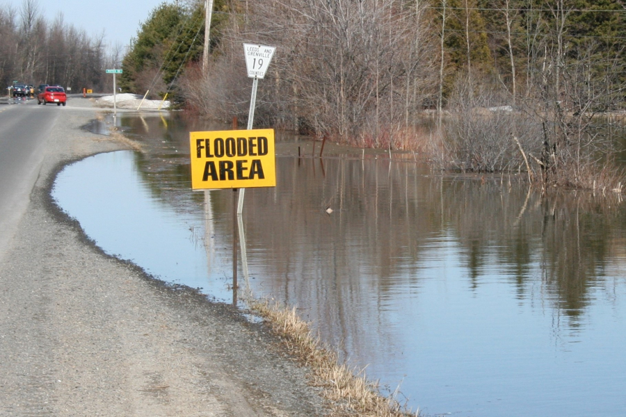
Previously known as “floodplain mapping” or “regulations mapping,” these studies show areas that are prone to natural hazards such as flooding, erosion and unstable slopes. They will also map natural features such as wetlands.
“Current mapping in these areas is outdated or non-existent, making it difficult to ensure public safety, protect property and make sound planning decisions,” said Ferdous Ahmed, RVCA Senior Water Resources Engineer.
The City has provided funding and high-quality topographical information for the projects, allowing the conservation authority to move ahead with studies sooner than otherwise possible. The agreement builds on a previous collaboration that mapped 11 areas between 2012 and 2019.
Ottawa is beginning an Official Plan review this year, and these maps will help determine development boundaries and zoning overlays. They’ll also help the conservation authorities and municipality review development applications under the provincial Planning Act.
The RVCA is one of three conservation authorities collaborating with the City on new hazard reports. Mississippi Valley Conservation Authority and South Nation Conservation will complete similar projects in their watersheds under the new agreement.
Hazard mapping is the cornerstone of keeping people and property safe from floods, erosion and unstable slopes. The studies will use contemporary methods of hydrologic and hydraulic analysis, historical records of stream flow and/or water levels, and the most up-to-date topographical data to produce updated estimates of the 1:100 year flood line and erosion and steep slope zones.
Historical records of past flood events, news clippings, photographs, and even anecdotal stories and memories can help confirm the reasonableness of calculations and resulting hazard mapping. Local residents with this kind of information are encouraged to share their knowledge with RVCA’s Ferdous Ahmed, (613-692-3571, 1-800-267-3504 ext. 1170 or ).
Once the technical work is completed and the maps have been prepared, open houses will be held in nearby communities to collect public feedback. Any new information or comments will be taken into consideration to further refine the maps.
For more information about the project visit www.rvca.ca/ottawa-mapping-project.
-end-