How healthy is the Jock River? Readers can learn all about it in the Rideau Valley Conservation Authority’s (RVCA) Jock River Subwatershed Report. This information-loaded report summarizes the subwatershed’s health by looking at four indicators: forests, wetlands, shorelines and water quality. This is the second subwatershed report for the Jock River and compares baseline information collected from 2004 to 2015. Changes are small, but understanding how to prevent cumulative long-term changes is essential.
The Jock River starts in the lush headwater wetlands in Beckwith and Montague Townships near Franktown. It then flows on through rich agricultural lands in the former municipalities of Goulbourn and Nepean before heading into the suburban community of Barrhaven before joining the Rideau River just north of Manotick as part of the Lower Rideau Subwatershed. The subwatershed drains over 555 square kilometres with its tributaries stretching 888 kilometres and the main Jock River stretching 66 kilometres.
RVCA’s monitoring efforts help us better understand watershed trends and help focus stewardship activities where they are needed the most. These subwatershed reports summarize RVCA information and are valuable tools for decision-makers at all levels — individuals, families, municipalities, counties and the province.
Conditions along the Jock River vary from the upper sections to the lower sections. These conditions clearly reflect human demands and their impacts on the natural environment. Now is the time to take important steps to maintain, protect and improve our current conditions.
Efforts can be simple things like keeping shorelines natural and planting trees to more complicated municipal planning and development projects that protect surface water quality and aquatic habitat through the creation of riparian buffers, and application of stormwater best management practices. The report identifies what the RVCA, municipalities, residents, businesses, community groups and agricultural associations can do to help make environmental gains.
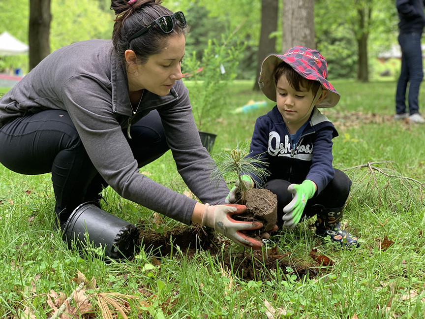
For landowners looking to do their part, the RVCA provides a number of stewardship programs designed to improve watershed health. The programs provide technical expertise, grants and manpower. By connecting with landowners, the goal is to make real, on-the-ground improvements. Landowners who are interested in learning about possible projects can call the RVCA for details.
This report is part of a series including reports on the Tay River (2011), Lower Rideau (2012), Kemptville Creek (2013), Rideau Lakes (2014) and Middle Rideau (2015). Next year, similar comparisons on watershed health will be made for the Tay River Subwatershed.
For your copy of this and other subwatershed reports, call the RVCA at 613-692-3571 ext. 1177 or visit watersheds.rvca.ca. For those looking for more scientific information, monitoring results are available through the detailed catchment reports which are also available online at watersheds.rvca.ca.