Members of the public are invited to an upcoming open house to review hazard maps. The RVCA has just completed a review and update of existing hazard maps (floodplain and steep slopes) along the Rideau River from Hogs Back to Rideau Falls.
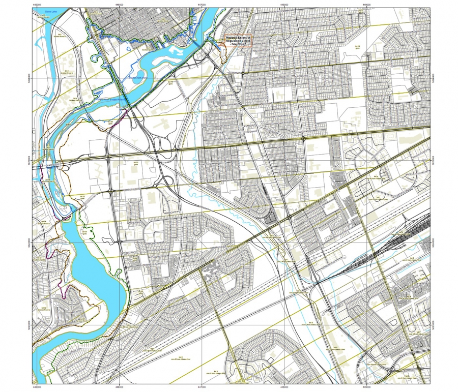
These maps are typically known as “floodplain mapping,” but they also show areas that are prone to natural hazards such as flooding, erosion and unstable slopes and natural environment features such as wetlands. The mapping takes these features into consideration and will be used by the City of Ottawa and the Conservation Authority when updating Official Plans and Zoning Schedules and in the review of other related Planning Act applications. RVCA will also use this mapping to guide the review of for construction applications in environmentally sensitive areas such as wetlands, shorelines and waterways and along steep slopes.
The goal of this mapping is to help ensure that sound planning decisions are made — keeping people and property safe. Accurate engineered hazard mapping is the foundation of effective floodplain and resource management.
Members of the public are encouraged to the open houses and/or provide comments on the draft mapping.
Open House
November 8, 2016 from 4 to 8 p.m.
Brewer Park Pool
100 Brewer Way, Ottawa
Lounge Room
Conservation Authority staff welcome historical records of past flood events, news clippings, photographs and even anecdotal stories to help confirm the reasonableness of calculations and resulting hazard mapping. Local residents are encouraged to share their knowledge to help the Conservation Authority further refine these maps.
For those unable to attend an open house, mapping can also be seen online at www.rvca.ca and comments sent to . The Rideau Valley Conservation Authority (RVCA) is one of three Conservation Authorities working on updating and improving hazard maps on behalf of the City of Ottawa. Mississippi Valley Conservation Authority and South Nation Conservation are also working on similar projects in their watershed.