APRIL 17, 2019: OTTAWA RIVER FROM ARNPRIOR TO HAWKESBURY — Rideau Valley Conservation Authority (RVCA) in conjunction with the Mississippi Valley Conservation Authority (MVCA), South Nation Conservation Authorities (SNC) and Ministry of Natural Resources & Forestry (MNRF) Kemptville District, cautions residents along the Ottawa River that water levels are expected to increase significantly over the weekend and into next week. Levels are not expected to reach those observed at the height of the flood in 2017 at this time.
The Ottawa River Regulation Planning Board has stated, “With significant rainfall forecasted later this week, levels will exceed minor flood levels over the Easter weekend in flood prone areas along the Ottawa River at Lake Coulonge, Chats Lake, Britannia / Lac Deschênes, Pointe-Gatineau, Ottawa / Cumberland, Rockland, Thurso and other vulnerable areas down to the Montreal Archipelago.”
River Conditions Forecast / Flooding Risk: The current snowpack throughout much of the Ottawa River basin remains at twice its normal depth for this time of the year. Meteorological forecasts indicate that two low pressure systems will be combining to produce significant rainfall (40 to 50 mm) throughout the Ottawa River watershed beginning on Thursday. Combined with spring runoff from the central and southern portions of the watershed, this precipitation is expected to cause a rapid and sustained increase in water levels and flows on the main stem of the Ottawa River. The Regulating Committee will be reassessing forecast conditions and providing hydrological condition updates on its website daily at http://www.ottawariver.ca/forecast.php.
Residents are advised to stay away from watercourses where flows are high and where banks might be unstable. Parents are encouraged to explain these dangers to their children.
This FLOOD WATCH statement is valid through April 23, 2019. Additional statements will be issued when or if conditions are expected to change significantly from this outlook.
For more information regarding the Ottawa River, visit www.ottawariver.ca.
-end-
"Rideau Valley Conservation Authority is a partnership of municipalities within the Rideau Valley watershed created under the Conservation Authorities Act to deliver a range of programs in watershed management and natural resource conservation."
RVCA Watershed Conditions Statements:
- Water Safety – High flows, unstable banks, melting ice or other factors that could be dangerous for recreational users such as anglers, canoeists, hikers, children, pets, etc. Flooding is not expected.
- Flood Outlook – Early notice of the potential for flooding based on weather forecasts, calling for heavy rain, snow melt, high winds or other conditions that could lead to high runoff, cause ice jams and/or lakeshore flooding or erosion.
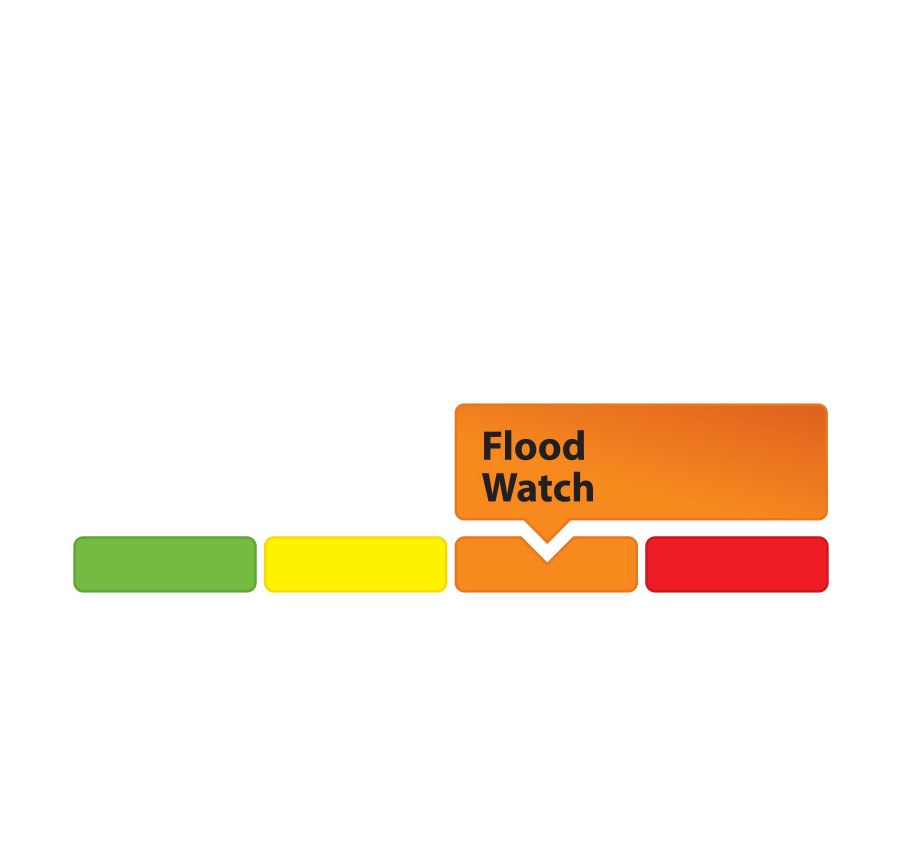
- Flood Watch – Flooding is possible in specific watercourses or municipalities. Municipalities, emergency services and individuals in flood-prone areas should prepare.
- Flood Warning – Flooding is imminent or already occurring in area watercourses.