April 8,2019 – With below seasonal temperature and no significant precipitation over the past several days, water levels and flows continue to decline slowly across most areas of the Rideau Valley Watershed. The water level/flow decline is expected to continue this week based on the current weather forecast of only single digit high temperatures and the possibility of rain on Friday. At this time most of the snow in our watershed has already melted but some snow/ice does remain near trees or shaded areas.
Contrary to the above, water levels and flows in Bob’s Lake and Christie Lake, located in the upper end of the Rideau Valley Watershed, are increasing slowly due to runoff from the remaining snow pack. Parks Canada staff are closely watching this situation and making any changes as needed.
The flood watch issued previously for the areas listed below is no longer in effect:
- The smaller creeks and streams in the lower Rideau Valley Watershed, including the low-lying roads and waterfront properties adjacent to the Jock River (near Richmond) and Stevens Creek (near North Gower), and any connected creeks or ditches.
- The Long Reach (Burritts Rapids to Manotick) of the Rideau River, including the communities of Hilly Lane, Cedar Beach, Rideau Glen and other neighourhoods on that reach of the river.
- The low-lying roads and waterfront properties adjacent to the Tay River between the outlet of Christie Lake and the Beveridge Locks near Port Elmsley.
City of Ottawa crews have now completed with their annual ice removal program on the Rideau River between Rideau Falls and Bronson Avenue. However, City crews are continuing to monitor for possible ice jams due to shoreline ice that may break loose (for more information: City of Ottawa information at 311).
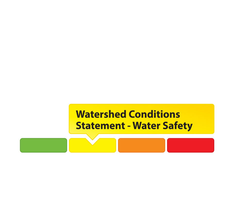
Extreme caution should be exercised by everyone when near local waterbodies. Parents should inform their children of the risks and provide appropriate supervision.
Residents in flood prone or low-lying areas, historically susceptible to flooding, should continue to take the necessary precautions to protect their property, such as:
- Ensuring sump pump is clear, in good working condition and has a backwater valve
- Ensuring easy access to a portable backup generator and pump
- Ensuring downspouts are clear and the outlet is at least 3 metres from the dwelling
- Securing items that might float away as flows increase
- Removing valuable items from basements or lower floors that could be subject to flooding
- Keeping emergency phone numbers handy
- Familiarizing yourself with your municipality’s Emergency Preparedness Plan
This watershed conditions statement is in effect until Monday April 15, 2019 and will be updated at that time unless the forecast or conditions change.
-end-
"Rideau Valley Conservation Authority is a partnership of municipalities within the Rideau Valley watershed created under the Conservation Authorities Act to deliver a range of programs in watershed management and natural resource conservation."
RVCA Watershed Conditions Statements:
- Water Safety – High flows, unstable banks, melting ice or other factors that could be dangerous for recreational users such as anglers, canoeists, hikers, children, pets, etc. Flooding is not expected.
- Flood Outlook – Early notice of the potential for flooding based on weather forecasts, calling for heavy rain, snow melt, high winds or other conditions that could lead to high runoff, cause ice jams and/or lakeshore flooding or erosion.
- Flood Watch – Flooding is possible in specific watercourses or municipalities. Municipalities, emergency services and individuals in flood-prone areas should prepare.
- Flood Warning – Flooding is imminent or already occurring in area watercourses.