April 25, 2019 — Rideau Valley Conservation Authority (RVCA), in conjunction with the Mississippi Valley Conservation Authority (MVCA) and South Nation Conservation (SNC) is maintaining the FLOOD WARNING issued on April 19, 2019 for the areas under our jurisdiction along the Ottawa River.
Significant rainfall has fallen over the Ottawa River basin since Thursday, April 18, 2019. There is additional rainfall amounts of 25 to 50 mm forecast over the next 24 to 36 hours.
All flood-prone areas along the Ottawa River from Lac Coulonge down to the Montreal Archipelago are at risk. Peak water levels across many areas of the Ottawa River are expected to be above those experienced in May 2017.
MVCA area of concern:
- The Ottawa River Regulation Committee (ORRC) currently forecasts water levels in the Constance Bay area to rise an additional 0.80 m to 1 m above the current elevation over the next three days. Levels are currently forecast to exceed those experienced at the height of the May 2017 flood by approximately 0.50 to 0.70 m. Updates to this projection will be provided as they become available.
RVCA areas of concern:
- Based on the most recent model outputs from the Ottawa River Regulation Committee (ORRC) and rainfall in the forecast, water levels in the Britannia area (Grandview Road and the Belltown Community) are projected to rise an additional 0.80 m to 1 m, above the current elevation over the next three days. Levels are currently forecast to exceed those experienced at the height of the May 2017 flood by approximately 0.50 m to 0.70 m. Updates to this projection will be provided as they become available.
- Based on the most recent model outputs from the Ottawa River Regulation Committee (ORRC) and rainfall in the forecast, water levels east of Cumberland Village (Boise Village, Morin Road, Leo Lane) are projected to rise an additional 0.80 m to 1 m above the current elevation over the next four days. Levels are currently forecast to exceed those experienced at the height of the May 2017 flood by approximately 0.20 m to 0.40 m. Updates to this projection will be provided as they become available.
SNC areas of concern:
- Based on the most recent model outputs from the ORRC, water levels in the Clarence-Rockland and Alfred-Plantagenet area are expected to exceed the May 2017 flood. Water levels are projected to rise an additional 0.40 m to 0.60 m above the current elevation over the next three days.
Due to the forecast uncertainty it is difficult to accurately predict how quickly water levels will rise and when river conditions may peak.
Residents in flood-prone areas are encouraged to closely follow evolving conditions and to take necessary measures. Residents are advised to stay away from watercourses where flows are high and where banks might be unstable. Parents are encouraged to explain dangers to children.
This FLOOD WARNING is in effect until Saturday, April 27, 2019.
RVCA and its Ottawa partners, MVCA and SNC monitor the water levels and weather forecasts with the Ministry of Natural Resources and Forestry as part of the Flood Forecasting and Warning Program. Updates are provided as conditions change.
The Ottawa River Regulation Planning Board will be reassessing forecast conditions and providing hydrological condition updates on its website daily at www.ottawariver.ca/forecast.php.
To view current flood warnings across Ontario, visit https://www.ontario.ca/law-and-safety/flood-forecasting-and-warning-program.
- end -
"Rideau Valley Conservation Authority is a partnership of municipalities within the Rideau Valley watershed created under the Conservation Authorities Act to deliver a range of programs in watershed management and natural resource conservation."
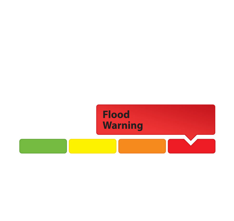
RVCA Watershed Conditions Statements:
- Water Safety – High flows, unstable banks, melting ice or other factors that could be dangerous for recreational users such as anglers, canoeists, hikers, children, pets, etc. Flooding is not expected.
- Flood Outlook – Early notice of the potential for flooding based on weather forecasts, calling for heavy rain, snow melt, high winds or other conditions that could lead to high runoff, cause ice jams and/or lakeshore flooding or erosion.
- Flood Watch – Flooding is possible in specific watercourses or municipalities. Municipalities, emergency services and individuals in flood-prone areas should prepare.
- Flood Warning – Flooding is imminent or already occurring in area watercourses.