RIDEAU VALLEY WATERSHED, April 28, 2023 – Work is underway to collect flood hazard data on four upper watershed lakes.
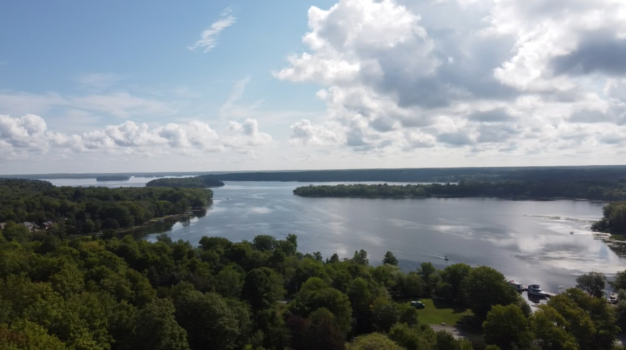
Beginning this May, the Rideau Valley Conservation Authority (RVCA) will be collecting important data that will inform future flood mapping projects on Lower Rideau, Big Rideau, Bobs and Otty Lakes, in co-operation with local municipalities. RVCA has contracted Water’s Edge Environmental Solutions Team to be on the lakes throughout the Spring and Fall of 2023.
This data collection is the first phase of a larger initiative to complete natural hazard mapping around the lakes. Water’s Edge will survey topography surrounding the lakes to verify recent LiDAR analyses, lake bathymetry, bridges, culverts, and nearby channel cross-sections while also documenting and assessing land uses, precipitation, historic high water marks, and water levels and flows. They will also document water control structures, their operating policies and their operational history. The data will be analysed in future projects to develop robust hazard mapping reports.
The RVCA received $160,000 in funding from the federal Flood Hazard Identification and Mapping Program (FHIMP) to cover up to half of the project’s total cost. The funding program was announced in 2022 to increase the number and quality of publicly accessible flood maps across Canada as extreme weather drives more severe flooding in communities across the country.
Mapping the flood hazards in these lakes will reduce impacts on people and property by promoting responsible land use planning, directing development away from flood prone areas and enhancing the RVCA’s flood forecasting and warning program.
While the surveyors will likely not need to access private property to carry out their work, they will be visibly active on the lakes during shoulder seasons throughout 2023. Waterfront residents can expect to see their boat moving slowly along shorelines and sometimes weaving back and forth to collect lakebed data. They may also be spotted on roadsides as they document bridges, culverts and other man-made structures.
Conservation Authorities are responsible for mapping natural hazards including flooding under the Conservation Authorities Act. While many urban parts of the Rideau Valley watershed have been mapped over the past 60 years, this is the first time these lakes are being formally mapped for flood hazards.
The hazard maps will also help RVCA comment on municipal planning files with respect to their impact on flooding, erosion and other natural hazards, and will help direct development away from floodplains and hazard areas in our own permitting program for work near watercourses and wetlands.
To learn more about our hazard mapping program visit https://www.rvca.ca/watershed-monitoring-reporting/reporting/flood-risk-mapping-reports.
-30-