


News from: September 2017
Minor Flooding of Low-Lying Areas the Result of Heavy Rains
Rainfall over the last three days from 70 to 100 millimetres has caused water levels typically seen in the spring in the Rideau watershed.
Flows rose dramatically from what they were going into the weekend after very little rain through September and most of October.
Operation of the Long Island Dam by Parks Canada staff slowed the increase of levels on the Long Reach. However, access roads to communities on the Rideau near Kemptville may still be threatened as the water from upstream passes through the system.
In Perth in the Tay Subwatershed, flooding has so far been limited to Stewart Park. Adjustments will be made as required at the construction site at Haggert Island Dam to accommodate increased flows.
Possibly those most affected by the heavy rains may be the farming community. With significant standing water left in fields, farmers may have difficulty removing the remaining crops. Rain forecast over the rest of the week will continue to cause problems getting on the fields.
The additional rain into next weekend can be expected to slow the recession of waters in streams such as Steven Creek. Residents in North Gower can expect to see the banks close to full through to next week.
Residents are advised to stay away from rivers as the forecasted weather may rapidly increase river flows, and cause slippery river banks. Parents are encouraged to explain these dangers to their children.
For water level and flow information in the Rideau system as well as the Ottawa River, visit the RVCA Streamflows and Water Levels webpage at: https://www.rvca.ca/watershed-monitoring-reporting/monitoring/surface-water-quantitiy
For more information about conditions on the Ottawa River, check the webpage of the Ottawa River Regulation Planning Board at http://ottawariver.ca/river-levels-flows.php#river-levels-flows-7-days .
(WCS - 40/2017)
Water Levels to Rise with Fall Rains
Heavy rain forecast for today and overnight are expected to cause elevated water levels throughout the Rideau River watershed.
With very little rain through September and October, flows on the Rideau system had fallen below the long term average for the time of year. As much as 100 millimetres of rain have been forecast for the next 24 hours. This amount of rain can be expected to raise water levels throughout the system. With the Rideau Lakes at winter levels, it is anticipated that there is capacity to accommodate the rain in the upper watershed with little impact.
In the Tay Subwatershed, adjustments will be made to the construction area at Haggart Island Dam in Perth to accommodate increased flows.
However, the Long Reach of the Rideau between Long Island and Burritts Rapids was scheduled for the draw down to begin on October 30 and is still at navigation level. The rainfall forecast is similar to what fell on July 24, 2017 which means flooding can be expected in low lying areas. This could include access roads to small communities along the Long Reach as well as on Kemptville Creek downstream of Kemptville.
As always, with levels up again in lakes, rivers and smaller streams, caution around the water for everyone is advised.
For water level and flow information in the Rideau system as well as the Ottawa River, visit the RVCA Streamflows and Water Levels webpage at: https://www.rvca.ca/watershed-programs/reporting/streamflow-water-levels .
For more information about conditions on the Ottawa River, check the webpage of the Ottawa River Regulation Planning Board at http://ottawariver.ca/river-levels-flows.php#river-levels-flows-7-days .
(WCS - 39/2017)
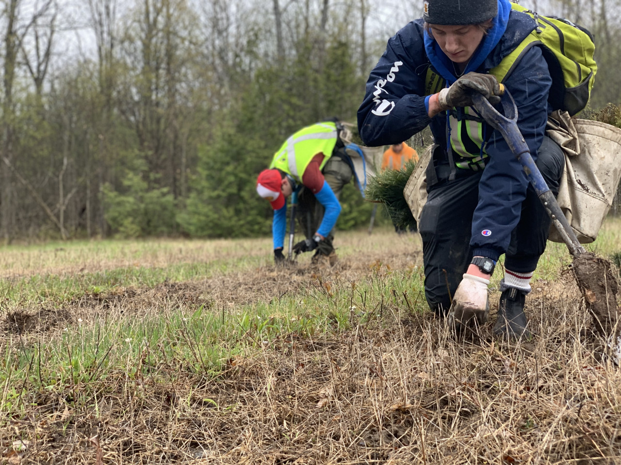
Innovative Rocky Ramp Construction Begins at Hearts Desire
OTTAWA, October 26, 2017 — After years of community consultation and long-standing safety concerns, the RVCA is decommissioning the Hearts Desire Weir and beginning work on a new rocky ramp. Work will begin on the project starting October 30 — weather permitting.
Located on the lower Jock River near Prince of Wales Drive, the Hearts Desire weir was built in 1975. The goal at the time was to provide higher summer flows, improve habitat for fish, ensure water for livestock and provide community ponds for fire protection and beautification. Since that time, conventional thinking regarding the environmental benefits of weirs has changed; and moreover, the weir has been identified as a safety concern to both staff who oversee its annual maintenance and to those who canoe and kayak in the river.
The weir will be replaced with a rocky ramp. This innovative dam replacement option will help maintain upstream water levels that are important to the community and achieve several environmental improvements. The rocky ramp will help restore natural flow features and reduce erosion, allow for fish passage all year long, improve water quality and increase shoreline vegetation and habitat.
This rocky ramp is the first of its kind in Ottawa, but not the first in eastern Ontario. The Town of Perth is using a rocky ramp design to replace two dams in the middle of their community. One dam replacement was completed last fall and the second replacement is currently underway.
“These rocky ramps allow for economical solutions when dealing with aging infrastructure,” says Terry Davidson, RVCA Director and Project Manager. “Replacing existing structures or bringing them to current safety standards makes them difficult to finance. Rocky ramps are a cost-effective solution that also benefits the environment by returning the river to a more natural state with riffles and pools.
The Hearts Desire project is made possible thanks to funding from the City of Ottawa, Fisheries and Oceans Canada, Muskies Canada and the Rideau Valley Conservation Authority.
During the construction phase (over two to three weeks) there will be no access to the park adjacent to the weir. Safety fencing will be erected. Drawdown of water levels started on October 10 as per normal fall operating procedures of the existing weir. This drawdown is also timely as it helps in preparation of upcoming work.
Thank you to local landowners for their cooperation and involvement in this project and to representatives from the Hearts Desire Community Association and the Stonebridge Community Association for worked successfully to bring everyone together to move this project forward.
Kings Creek Regulations and Hazard Land Mapping Public Open Houses
EASTERN ONTARIO, October 12, 2017 — The Rideau Valley Conservation Authority (RVCA) has completed a hazard mapping study for Kings Creek — a tributary of the Jock River — from the Brunton Side Road to the Jock River. Members of the public are invited to an upcoming open house to review regulations and hazard maps.
This study provides new mapping that show areas that are prone to natural hazards such as flooding and erosion and have natural environmental features such as wetlands. The mapping will be used by the City of Ottawa and the Townships of Beckwith and Montague when updating their Official Plan and Zoning Schedules and in the review of development applications under the Planning Act. RVCA will also use the mapping to guide the review of development applications submitted under the RVCA’s Development, Interference with Wetlands and Alterations to Shorelines and Watercourses Regulation.
The goal of this mapping is to help ensure that sound planning decisions are made — keeping people and property safe. Accurate engineered hazard mapping is the foundation of effective floodplain and resource management.
Members of the public are encouraged to attend the open house and/or provide comments on the mapping. Conservation Authority staff welcome historical records of past flood events, news clippings, photographs and even anecdotal stories to help confirm the reasonableness of calculations and resulting hazard mapping. For those unable to attend the open house, mapping can also be seen online at www.rvca.ca/kings-creek-mapping-study and comments sent to Ferdous Ahmed, RVCA Senior Water Resources Engineer at . To understand how mapping may affect your property, you can contact an RVCA Resource Specialist at or complete an online property inquiry form at www.rvca.ca/regulations-planning/general-property-inquiries.
Kings Creek Regulations and Hazard Mapping Public Open House
Wednesday, November 8, 2017
4:30 to 7:30 p.m.
St. Clare Mission Hall
4001 Dwyer Hill Road South
Dwyer Hill, Ontario
This study is being done through a collaboration involving the City of Ottawa and the Rideau Valley, Mississippi Valley and South Nation Conservation Authorities. The City recognized a need to update its zoning schedules based on up-to-date flood risk mapping, and has provided contributions enabling the Conservation Authorities to move ahead with these studies sooner than would otherwise be possible. The RVCA is currently working on several studies in the Ottawa area. For a complete list on ongoing work, please visit www.rvca.ca.

Media Release Archives
-
2024(1 article)
- February 2024 (1 article)
-
2023(19 articles)
- December 2023 (2 articles)
- October 2023 (3 articles)
- September 2023 (2 articles)
- August 2023 (1 article)
- July 2023 (2 articles)
- June 2023 (1 article)
- May 2023 (3 articles)
- April 2023 (2 articles)
- March 2023 (3 articles)
-
2022(21 articles)
- December 2022 (1 article)
- November 2022 (3 articles)
- October 2022 (2 articles)
- September 2022 (4 articles)
- July 2022 (1 article)
- June 2022 (3 articles)
- May 2022 (2 articles)
- April 2022 (2 articles)
- March 2022 (2 articles)
- February 2022 (1 article)
-
2021(28 articles)
- November 2021 (2 articles)
- October 2021 (1 article)
- September 2021 (3 articles)
- August 2021 (1 article)
- July 2021 (1 article)
- June 2021 (3 articles)
- May 2021 (3 articles)
- April 2021 (5 articles)
- March 2021 (4 articles)
- February 2021 (3 articles)
- January 2021 (2 articles)
-
2020(17 articles)
- November 2020 (2 articles)
- October 2020 (3 articles)
- September 2020 (1 article)
- August 2020 (1 article)
- July 2020 (2 articles)
- June 2020 (1 article)
- May 2020 (1 article)
- March 2020 (4 articles)
- February 2020 (1 article)
- January 2020 (1 article)
-
2019(70 articles)
- December 2019 (1 article)
- October 2019 (3 articles)
- September 2019 (5 articles)
- August 2019 (5 articles)
- July 2019 (2 articles)
- June 2019 (8 articles)
- May 2019 (19 articles)
- April 2019 (19 articles)
- March 2019 (5 articles)
- February 2019 (1 article)
- January 2019 (2 articles)
-
2018(46 articles)
- December 2018 (2 articles)
- November 2018 (3 articles)
- September 2018 (3 articles)
- August 2018 (6 articles)
- July 2018 (5 articles)
- June 2018 (3 articles)
- May 2018 (11 articles)
- April 2018 (6 articles)
- March 2018 (4 articles)
- February 2018 (1 article)
- January 2018 (2 articles)
-
2017(22 articles)
- November 2017 (2 articles)
- October 2017 (3 articles)
- September 2017 (1 article)
- August 2017 (3 articles)
- July 2017 (3 articles)
- June 2017 (5 articles)
- May 2017 (2 articles)
- March 2017 (2 articles)
- February 2017 (1 article)
-
2016(15 articles)
- December 2016 (1 article)
- November 2016 (1 article)
- October 2016 (1 article)
- August 2016 (2 articles)
- June 2016 (4 articles)
- May 2016 (2 articles)
- April 2016 (3 articles)
- February 2016 (1 article)