
Super User
Home Sweet Habitat
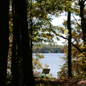
Ever wonder why certain plants and animals call the forest home? Find out the characteristics of a good habitat by exploring Foley Mountain. Fit the living things observed into their spot on the food chain and explore how these organisms interact as a community.
Don’t Treat Soil Like Dirt!
Have you every stopped and looked at the soil beneath your feet? Explore our living breathing soil and some of the curious creatures that help maintain this important ecosystem ingredient.
Winter Wonderland
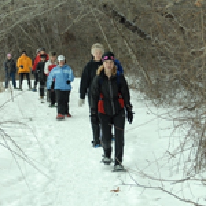
Bundle up and prepare for a wild winter adventure! Explore the winter forest at Baxter and learn about how plants and animals have adapted to survive these cold Canadian months.
Overnight Camping
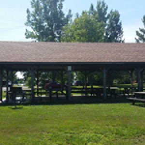
The possibility for a more extensive visit exists at our group camping area. The large clearing offers a campfire area, outhouses, and cut firewood. Take an evening stroll on the trails or gather round the campfire for some fun and games.
Team Building

Students will be led through a series of team building and problem solving exercises. These activities are designed to help groups work more effectively together while developing useful communication and problem solving skills. NOTE: Normally, offered as a full day program. Please ask about options.
Invasive Species
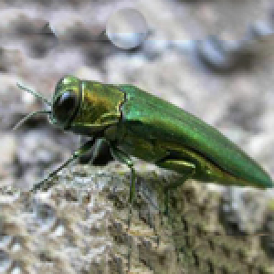
What are they? Where did they come from? Are they good or bad? What can we do about them? Students will learn about and see a variety of invasive species up-close. They will also be given an opportunity to help remove some of these invasive species from Baxter.
Outdoor Survival Skills
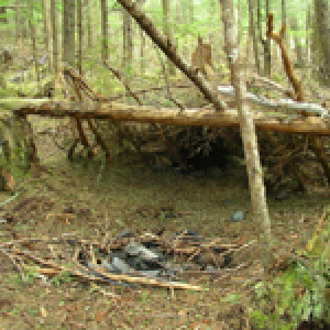
What would you do if you were lost in the woods!? What things would you need to survive? Working in groups, students will have the chance to explore the concepts of shelter building, fire building, and outdoor cooking.
Wetland Ecology
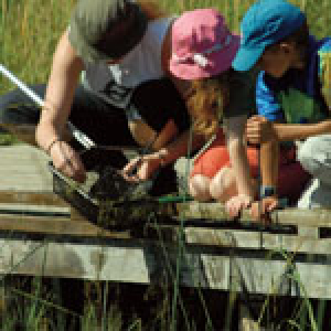
Investigate the diversity of living things found in a wetland ecosystem. Using nets, basins and identification keys, students will learn to identify animals that inhabit them, the importance and function of a wetland, the different types, human impacts and what we need to do to protect and preserve wetlands.
Instincts for Survival
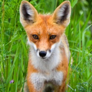
How do animals survive in their habitats? What are the skills of a predator? What is the human impact on animal life? Do you have the instincts for survival? This active wide game will help students understand some of the realities of the animal world and have a bunch of fun at the same time!
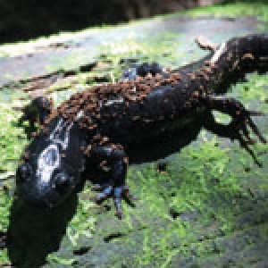
Unearthing Soil
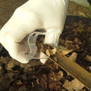
Have you ever stopped and looked at the soil beneath your feet? Explore our living, breathing soil and some of the curious creatures that help maintain this important ecosystem ingredient.