Super User
Suitable Land for RVCA Tree Planting Program
For most properties, we require a minimum of 0.5 hectares (1.25 acres) in total area to be planted. For reference, 1 acre is approximately the size of 2.5 hockey rinks.
Areas that are Suitable
Old fields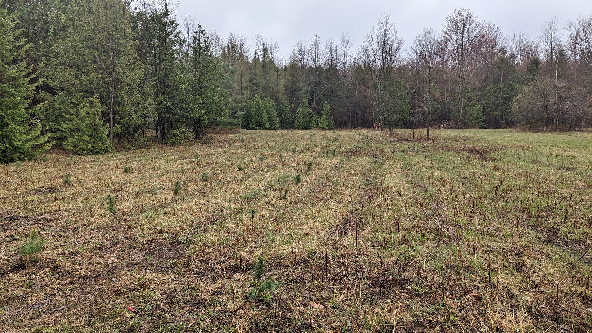 |
Shrub land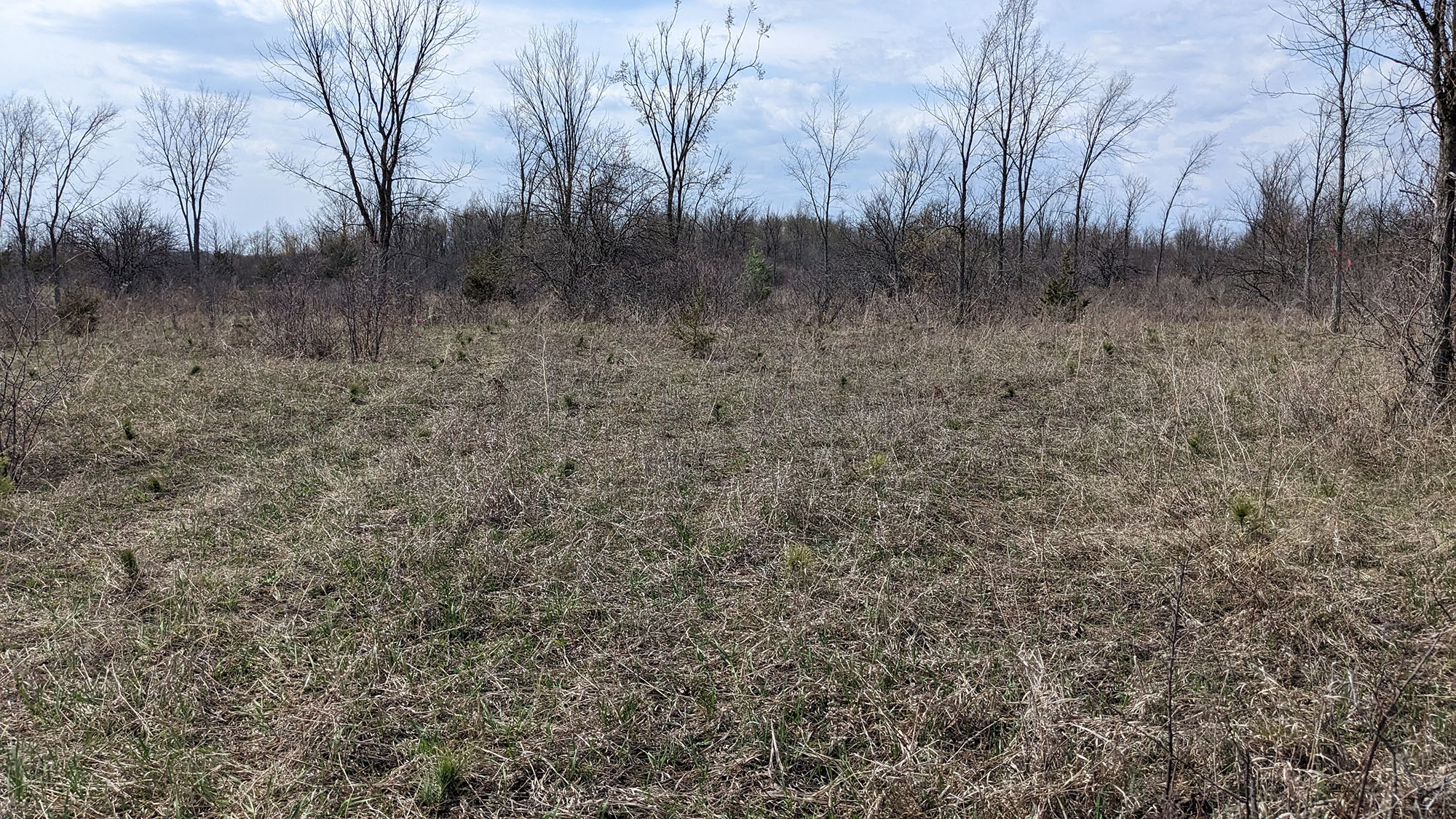 |
Residential lawns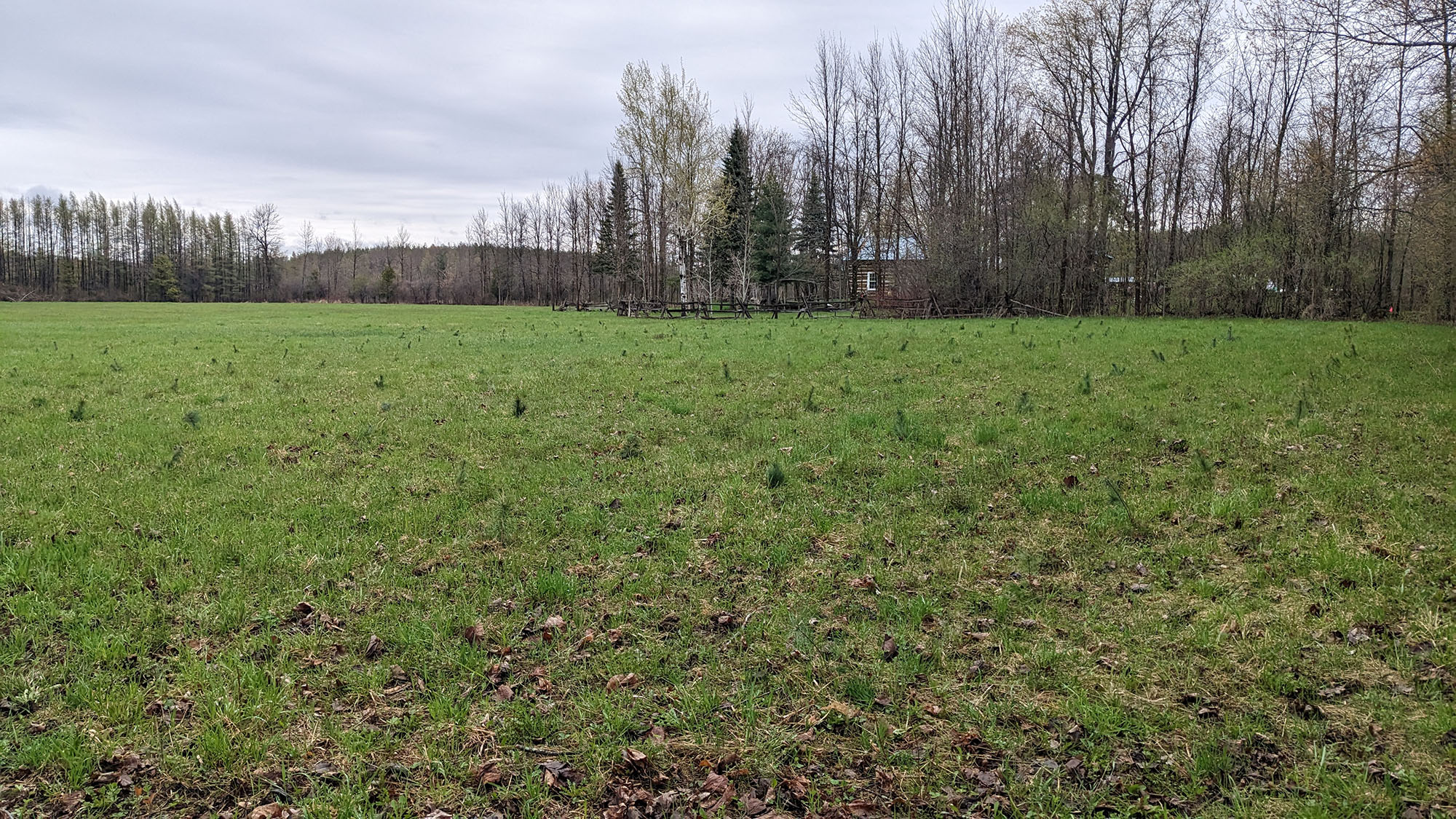 |
Windbreaks and Rows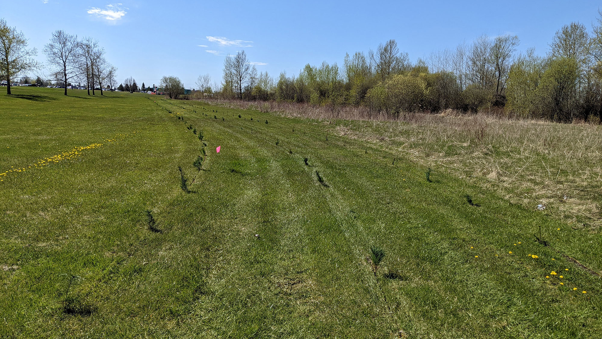 |
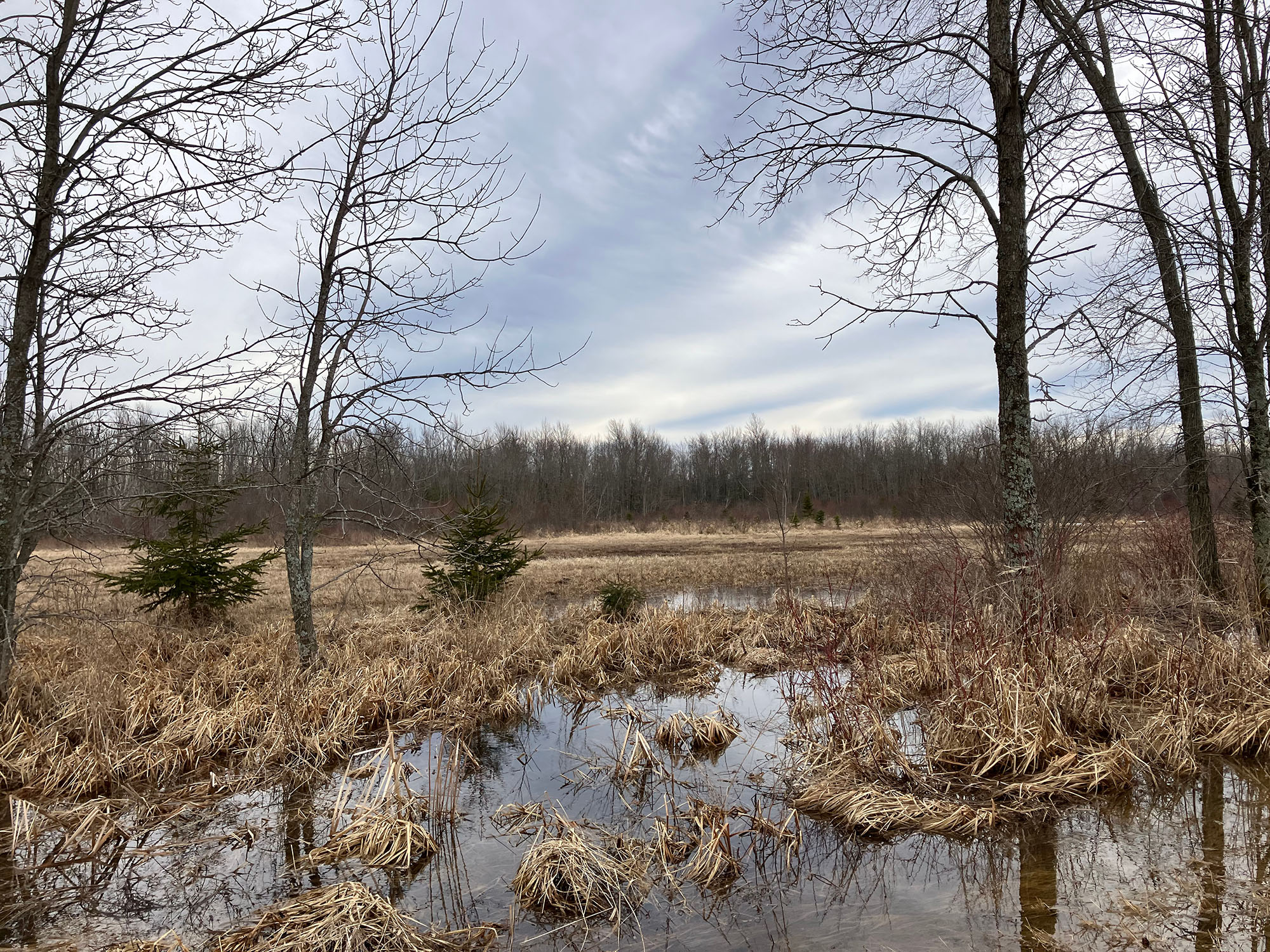
Areas that are Unsuitable
- Areas with existing tree cover
- Areas under hydro lines
- Very shallow soils or exposed bedrock
- Areas that flood or hold significant amounts of water in the spring
Water Conditions Statement: Water Safety — Lower Ottawa River
March 18, 2024 — A Water Safety Statement is being issued for areas along the Lower Ottawa River (Arnprior to Hawkesbury).
This winter has been characterised by unseasonably warm temperatures, below-average precipitation in many locations and several melt events. As of mid-March, the amount of water in the snowpack is well below average for this time of year across the Ottawa River watershed. The snow is essentially gone in the south-east portion of the basin and well below average elsewhere for this time of year.
Environment Canada is forecasting cooler, more seasonable, temperatures for the next week. Temperature highs from Thursday to the weekend will remain near or below zero, with subzero temperatures overnight. With the cool weather, some snow is forecasted throughout the region.
The water levels and flows on the Ottawa River are currently elevated in some locations for this time of year because of the early spring-like weather. Although it’s too early to forecast the magnitude and timing of the peak on the main stem of the Ottawa River, the weather experienced over the last couple of weeks could constitute a mild start of freshet. However, it’s not possible to completely rule out the occurrence of flooding this early in the year. Weather conditions over the coming weeks (such as additional snowfall and heavy rainfall events) will influence the strength of the freshet. Often, these weather conditions only become certain a few days in advance.
Residents in flood-prone areas are encouraged to closely follow changing conditions and
to take necessary measures. Residents are advised to stay away from watercourses where flows are high and where banks might be unstable. Parents are encouraged
to explain dangers to children and provide appropriate supervision around
all waterbodies.
The Mississippi Valley, Rideau Valley, and South Nation Conservation Authorities monitor water levels and weather forecasts with the Ministry of Natural Resources and Forestry as part of the Flood Forecasting and Warning Program. Updates are provided as conditions change.
The Ottawa River Secretariat will be reassessing forecast conditions and providing hydrological condition updates on its website when the freshet begins or if wet weather leads to flood risks www.ottawariver.ca/forecasts.
To view current flood warnings across Ontario, visit:
www.ontario.ca/law-and-safety/flood-forecasting-and-warning-program
This WATER SAFETY STATEMENT is in effect until April 8, 2024 at 5:00 PM.
FOR MORE INFORMATION:
Brian Stratton
RVCA Manager Engineering Services
613-692-3571 or 1-800-267-3504 ext. 1141
Definitions:
- Water Conditions Statement: Water Safety: indicates that high flows, melting ice or other factors could be dangerous for such users as boaters, anglers and swimmers but flooding is not expected.
- Water Conditions Statement: Flood Outlook: gives early notice of the potential for flooding based on weather forecasts calling for heavy rain, snow melt, high winds or other conditions.
- Flood Watch: potential for flooding exists within specific watercourses and municipalities.
- Flood Warning: flooding is imminent or occurring within specific watercourses and municipalities.
-end-
Déclaration de sécurité aquatique – Cours inférieur de la rivière des Outaouais
Le 18 mars 2024 - Une DÉCLARATION DE SÉCURITÉ AQUATIQUE est émise pour les secteurs situés le long du cours inférieur de la rivière des Outaouais (d'Arnprior à Hawkesbury).
Cet hiver a été caractérisé par des températures anormalement élevées, des précipitations inférieures à la moyenne dans de nombreux endroits et plusieurs phénomènes de fonte. À la mi-mars, la quantité d'eau du manteau neigeux est bien inférieure à la moyenne pour cette période de l'année dans l'ensemble du bassin versant de la rivière des Outaouais. Il n'y a pratiquement plus de neige dans la partie sud-est du bassin et ailleurs, elle est bien inférieure à la moyenne pour cette période de l'année.
Environnement Canada prévoit des températures plus fraîches et plus saisonnières pour la semaine prochaine. Les températures maximales de jeudi à la fin de semaine demeureront près de zéro ou sous zéro, avec des températures sous zéro pendant la nuit. Avec le temps frais, un peu de neige est prévue dans toute la région.
Bien qu'il soit trop tôt pour prévoir l'ampleur et le moment de la crue du cours principal de la rivière des Outaouais, les conditions météorologiques des deux dernières semaines pourraient constituer un début de crue douce. Cependant, il n'est pas possible d'exclure complètement la possibilité d'une inondation si tôt dans l'année. Les conditions météorologiques des semaines à venir (telles que des chutes de neige supplémentaires et de fortes précipitations) influenceront l'intensité de la crue nivale.
Les résidents des zones inondables sont invités à suivre de près l'évolution des conditions et à prendre les mesures nécessaires. Il est conseillé aux résidents de ne pas s'approcher des cours d'eau dont le débit est élevé et dont les berges peuvent être instables. On demande aux parents d'expliquer ces dangers à leurs enfants
et d'assurer une surveillance appropriée autour des cours d'eau.
Les offices de protection de la nature de la vallée de la Mississippi, de la vallée de la Rideau et de la Nation Sud surveillent les niveaux d'eau et les prévisions météorologiques avec le ministère des Richesses naturelles et des Forêts dans le cadre du programme de prévision et d'alerte des crues. Des mises à jour sont émises au fur et à mesure que les conditions changent.
Le Secrétariat pour la régularisation de la rivière des Outaouais réévaluera les conditions prévues et fournira des mises à jour des conditions hydrologiques sur son site Web lorsque la crue nivale commencera ou si le temps humide entraîne des risques d'inondation www.ottawariver.ca/forecasts.
Pour consulter les alertes de crues en cours dans l'ensemble de l'Ontario, visitez le site : www.ontario.ca/law-and-safety/flood-forecasting-and-warning-program.
La présente DÉCLARATION DE SÉCURITÉ AQUATIQUE est en vigueur jusqu'au 8 avril 2024 à 17 h.
-end-
POUR PLUS D’INFORMATIONS :
Brian Stratton
RVCA Manager Engineering Services
613-692-3571 or 1-800-267-3504 poste 1141
Définitions :
- Communiqué sur les conditions des bassins versants – Sécurité aquatique : indique que des débits forts, de la glace fondante ou d’autres facteurs peuvent être dangereux pour des utilisateurs comme les plaisanciers, les pêcheurs à la ligne et les baigneurs, mais qu’une crue n’est pas prévue.
- Communiqué sur les conditions des bassins versants – Perspective de crue :préavis de crue possible basé sur des prévisions de pluies abondantes, de fonte des neiges, de forts vents ou autre.
- Veille de crue :possibilité de crue pour des cours d’eau et municipalités spécifiques.
- Avertissement de crue : crue immimente ou en cours pour des cours d’eau et
municipalités spécifiques.

(WCS – R04/2024)
March 8, 2024 – The Rideau Valley Conservation Authority is issuing a WATER SAFETY message for the entire Rideau Valley Watershed.
A low pressure system is expected to bring widespread rain to the region, with between 20mm and 40mm expected throughout Saturday and Sunday. Snow conditions in the Rideau Valley watershed are largely depleted, but flows and water levels remain elevated from recent melt and rainfall events.
While significant flooding is not anticipated at this time, water levels and flows in all waterways are expected to increase and may exceed their banks along smaller tributaries and streams. Residents in these regions are advised to take precautionary measures to protect their property, including:
- Ensuring sump pumps are clear, in good working condition and have a backwater valve
- Ensuring easy access to a portable backup generator and pump
- Ensuring downspouts are clear and the outlet is at least 3 metres from the dwelling
- Securing items that might float away as flows increase
- Removing valuable items from basements or lower floors that could be subject to flooding
- Keeping emergency phone numbers handy
- Familiarizing yourself with your municipality’s Emergency Preparedness Plan
Extreme caution should be exercised by everyone when near local waterbodies. Parents should inform their children of the risks and provide appropriate supervision. Pets should be leashed near all bodies of water.
This watershed conditions statement is in effect until Friday, March 15, 2024 at 5 PM and will be updated at that time unless the forecast or conditions change.
-end-
Contact: Brian Stratton, RVCA Manager Engineering Services
Rideau Valley Conservation Authority
613-692-6804, 1-800-267-3504 ext. 1141
www.rvca.ca/watershed-conditions
"Rideau Valley Conservation Authority is a partnership of municipalities within the Rideau Valley watershed
created under the Conservation Authorities Act to deliver a range of programs in watershed management and
natural resource conservation."
RVCA Watershed Conditions Statements:
- Water Safety – High flows, unstable banks, melting ice or other factors that could be dangerous for recreational users such as anglers, canoeists, hikers, children, pets, etc. Flooding is not expected.
- Flood Outlook – Early notice of the potential for flooding based on weather forecasts, calling for heavy rain, snow melt, high winds or other conditions that could lead to high runoff, cause ice jams and/or lakeshore flooding or erosion.
- Flood Watch – Flooding is possible in specific watercourses or municipalities. Municipalities, emergency services and individuals in flood prone areas should prepare.
- Flood Warning – Flooding is imminent or already occurring in specific watercourses or municipalities.
(WCS – R03/2024)
February 26, 2024 – Unseasonably warm temperatures combined with significant rainfall is expected to trigger a widespread melt across the Rideau Valley Watershed this week. Temperatures are expected to rise significantly on Tuesday, February 27 and last until Thursday, February 29, with daily highs exceeding 10°C. Widespread precipitation is also expected during this period, with forecasts estimating between 20 and 30 mm of rainfall.
Although snow conditions are considered below normal for this time of year, the warm temperatures and added rain will trigger an accelerated melt. Beginning on Tuesday, water levels and flows are expected to increase in all waterways in the Rideau Valley Watershed. The degree of increase will depend on actual precipitation and temperatures over this period. If additional rainfall occurs between Tuesday and Thursday, flooding is possible on smaller creeks and streams in the Rideau Valley Watershed, including Stevens Creek and any connected creeks or ditches (near North Gower) which are highly susceptible to spring flooding. This short-term forecast does not suggest flooding will occur along the Rideau River, however the elevated water levels and flows will make the region more susceptible to flooding if another storm event occurs in the near future.
While significant flooding is not anticipated at this time, it is advised that residents adjacent to smaller tributaries and streams take precautionary measures to protect their property, including:
- Ensuring sump pumps are clear, in good working condition and have a backwater valve
- Ensuring easy access to a portable backup generator and pump
- Ensuring downspouts are clear and the outlet is at least 3 metres from the dwelling
- Securing items that might float away as flows increase
- Removing valuable items from basements or lower floors that could be subject to flooding
- Keeping emergency phone numbers handy
- Familiarizing yourself with your municipality’s Emergency Preparedness Plan
With the expected temperature shift over the coming days, ice cover on lakes, ditches, local streams and rivers will be unstable. Extreme caution should be exercised by everyone when near local waterbodies. Parents should inform their children of the risks and provide appropriate supervision.
This watershed conditions statement is in effect until Monday, Mar. 04, 2024 at 5 PM or until an update has been issued.
-end-
More Information:
Contact: Justin Robert, Hydrometric Data Specialist
Rideau Valley Conservation Authority
613-692-6841, 1-800-267-3504 ext. 1194
www.rvca.ca/watershed-conditions
"Rideau Valley Conservation Authority is a partnership of municipalities within the Rideau Valley watershed
created under the Conservation Authorities Act to deliver a range of programs in watershed management and
natural resource conservation."
RVCA Watershed Conditions Statements:
- Water Safety – High flows, unstable banks, melting ice or other factors that could be dangerous for recreational users such as anglers, canoeists, hikers, children, pets, etc. Flooding is not expected.
- Flood Outlook – Early notice of the potential for flooding based on weather forecasts, calling for heavy rain, snow melt, high winds or other conditions that could lead to high runoff, cause ice jams and/or lakeshore flooding or erosion.
- Flood Watch – Flooding is possible in specific watercourses or municipalities. Municipalities, emergency services and individuals in flood prone areas should prepare.
- Flood Warning – Flooding is imminent or already occurring in specific watercourses or municipalities.
(WCS – R02/2024)
February 9, 2024 – Caution is advised as above normal temperatures are forecasted for the Rideau Valley Watershed this weekend. Environment Canada’s short-term weather forecast indicates above-zero temperatures approaching 10 degrees Celsius on Friday and Saturday. On Sunday and Monday, the temperatures are forecast to approach 5 degrees Celsius before cooling off to more seasonal below-zero temperatures next week. Less than 5 mm of precipitation is expected on Friday and Saturday.
Water levels and flows are generally average for this time of year across the Rideau Valley Watershed. Although no significant flooding is anticipated, water levels and flows are expected to increase in all creeks and streams in the Rideau Valley Watershed in the coming days. Residents adjacent to smaller creeks and streams are advised to keep a close watch on water levels and flows and should take the necessary precautions to protect their property.
The warm temperatures and increased water levels may destabilize existing ice cover, creating unstable conditions and the potential for ice jams.
Extreme caution should be exercised by everyone when near local waterbodies. Parents should inform their children of the risks and provide appropriate supervision. Pets should be leashed near all bodies of water.
This watershed conditions statement is in effect until Friday, February 16, 2024 at 5 PM or until an update has been issued.
-end-
More Information:
Contact: Brian Stratton, RVCA Manager Engineering Services
Rideau Valley Conservation Authority
613-692-6804, 1-800-267-3504 ext. 1141
www.rvca.ca/watershed-conditions
"Rideau Valley Conservation Authority is a partnership of municipalities within the Rideau Valley watershed
created under the Conservation Authorities Act to deliver a range of programs in watershed management and
natural resource conservation."
RVCA Watershed Conditions Statements:
- Water Safety – High flows, unstable banks, melting ice or other factors that could be dangerous for recreational users such as anglers, canoeists, hikers, children, pets, etc. Flooding is not expected.
- Flood Outlook – Early notice of the potential for flooding based on weather forecasts, calling for heavy rain, snow melt, high winds or other conditions that could lead to high runoff, cause ice jams and/or lakeshore flooding or erosion.
- Flood Watch – Flooding is possible in specific watercourses or municipalities. Municipalities, emergency services and individuals in flood prone areas should prepare.
- Flood Warning – Flooding is imminent or already occurring in specific watercourses or municipalities.
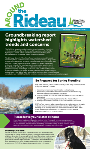
Groundbreaking report highlights environmental concerns, shifts across Rideau Watershed
RIDEAU VALLEY, February 5, 2024 – A new detailed analysis from the Rideau Valley Conservation Authority (RVCA) has found many parts of the Rideau River Watershed are changing fast – and not always with positive results.
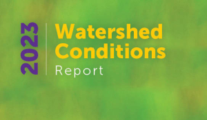
The RVCA’s 193-page Watershed Conditions Report is the first of its kind in more than 50 years. It compiles recent and historical monitoring data to assess trends regarding surface and ground water quality, aquatic ecosystem health, hydrological function, natural hazard risks and the status of critical green infrastructure such as wetlands, forests and natural shorelines.
The analysis found several concerning trends including a continuing steep decline in large woodland patches, increasing chloride levels in our urban streams, and large shifts in surface water flow patterns linked to increased development and loss of wetlands.
The report also identifies knowledge gaps for natural hazard risks such as flooding, erosion and landslides in some parts of the watershed, as well as gaps in robust groundwater quality monitoring in rural communities where private wells are the most common source of drinking water.
“This document will provide invaluable insights for the RVCA and its partners as we continue to strive for balance between conserving our natural resources and helping build safe and thriving communities,” said RVCA General Manager Sommer Casgrain-Robertson. “The issues identified here do not come as a surprise, but now we have data and analysis that will allow us to take targeted action and make measurable improvements for the benefit of all.”
Completion of the conditions report is the first step in the development of a Watershed Management Strategy, which aims to identify areas of concern and then create a strategy to address them. This process will include public consultation later in 2024.
“We look forward to partnering with First Nations, our member municipalities, partners, stakeholders and the public to develop a strategy that promotes prosperity and health for the entire watershed for generations to come,” Casgrain-Robertson said.
The RVCA’s Watershed Conditions Report can be accessed online at www.rvca.ca/conditions-report. To learn more about the conditions report or to receive notifications about upcoming public consultation proceedings, contact .
-30-
5. Index of Figures and Tables

4. Issues and Concerns in the Rideau Valley